Floods
|
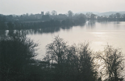
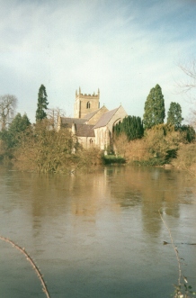
| This is a photo taken looking towards the west. The flood is in the field beside the Rocky footbridge and ford. The surface of the flood is ice. The photo shows the eastern approach to the high ground where the church stands. |
The River Severn forms the western boundary of Kempsey, and the river floods in the winter. Hatfield Brook flows into the river just south of the church, and when the river floods the water flows back up the brook into the village.
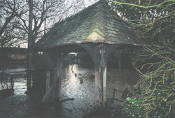
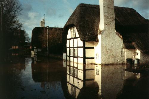
 The area known as the Rocky floods deeply, and sometimes only the top of the footbridge's rail can be seen. The photo shows the ford at the Rocky flooded to a depth of about 15 feet (5 meters), due to water from the nearby River Severn flowing back up Holdings Brook. Normally the depth of the ford here is a few inches, and cars and bicycles can go through it.
|
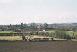
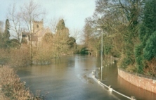
| Floods can also affect the roads and cottages below the church, the tower of which can be seen in the background of this picture, behind the trees on the left. |
Floods can cover the A38 in the middle of the village, where the main road bridges the brook. Houses in the southern part of Old Road north are built on a ridge just north of the brook, and their gardens flood. The height of the floods drops as you follow Holdings Brook east, away from the river, and then north towards Brookend Lane. It is rare for the floods to flow over the bridge on Brookend Lane.
Click here for a zoomable map of Kempsey and the flood plain around it from the UK Environment Agency.
|
© 2004 - Andy Morrall
Last updated 9th April 2004.
