| Pre-Roman | Roman | Dark Ages | Domesday Book | Medieval | Civil War | Industrial Revolution |
Victorian | Modern | Timeline | |
| |
Home | What's New | A-Z Index | People Index | Links | Genealogy | Church | Maps | Site Search | Sources |
The Anchor
In the south of the village, on the A38.
The Crown
By the butcher's where Old Road North and Church Street meet the A38. It has a garden next to Hatfield Brook.

The Farmer's Arms
At the west end of Kempsey Common. It used to be a workhouse for the poor, until it became a pub in 1896. Click on the picture or here for an enlargement.
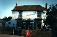
The Fruiterers Arms
On Stonehall Common, in the east of the parish.
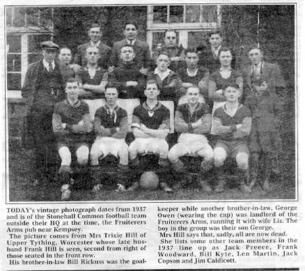
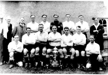
Here are 2 old photographs of the Stonehall Common football team of 1937, kindly sent in by Bill Hill of Canada. The text reads:
"Today's vintage photograph dates from 1937 and is of the Stonehall Common football team outside their HQ at the time, the Fruiterers Arms Pub near Kempsey.
The picture comes from Mrs Trixie Hill of Upper Tything, Worcester whose late husband Frank Hill is seen, second from right of those seated in the front row. His brother-in-law Bill Rickuss was the goalkeeper while another brother-in-law, George Owen (wearing the cap) was landlord of the Fruiterers Arms, running it with his wife Liz. The boy in the group was their son George.
Mrs Hill says that, sadly, all are now dead.
She lists some other members in the 1937 line-up as Jack Preece, Frank Woodward, Bill Kyte, Len Martin, Jack Copson and Jim Caldicott."


The Huntsman
On Green Street, east of the village over the motorway.
The Talbot
Opposite the Post Office. It has a large car park and a garden.
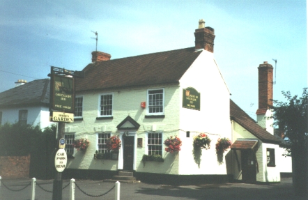
The Walter de Canteloupe
On the A38, just south of the Post Office. This used to be called the Queen's Head.

The Malbre Hotel
Just south of Baynhall Garage, south of Kempsey and Draycott. Near the junction of the A38 and the road that leads to Kerswell Green.