 Holiday Alaska-Yukon (2005) Photo and travel report In 2005 we (Henry Jonker en Marcel Jonker) made a trip through Alaska and the Yukon. In three weeks, from juli 5 to 27, we followed the route as shown on the map below (about 7000 km).  Followed route through Alaska and the Yukon We leave on tuesday juli 5 at 5.00 in the morning from Epe to Apeldoorn. There we take the train to Schiphol. After the necessary incheck and custom formalities (interrogations, frisking, etc.) we can enter the plane that brings us to Atlanta in 9.5 hours. There we expect some thorough checkings, but it turned out to be not so bad after all. We most probably encountered a friendly customs officer. We eat at the airport and wait for our connecting flight of 7.5 hours to Anchorage. Because of firm wind, the flight is delayed and we are standing in a traffic jam for taking off. Halfway the flight tiredness strikes, but as soon as we fly over the magnificent Rocky Mountains and see the ice fileds, we are fully awake! 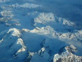
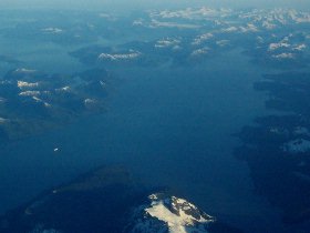
Coastal Mountains - Cruiseschip in Inside Passage / Glacier Bay At the Anchorage airport, the owner of the bed & breakfast is awaiting us. After a small tour through the city (at what we even see a moose walking on the road in the middle of Anchorage) he brings us to the pension. There we can sleep well after a long and impressive day of travelling. 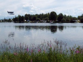
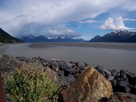
Seaplanes at Lake Hood - Turnagain We have a good breakfast at our pension. Go North already calls us to inquire when they can pick us up for the camper rental. The camper looks well and after we have packed our stuff we go to the Fred Meyer supermarket for shopping. It is an exceptionally experience to be in this very service directed mega supermarket; one can buy anything from food, furniture, computers up to rifles. We visit the extraordinary Lake Hood seaplane airport and go on to Portage along the Turnagain bay. The glacier is hardly visisble from the parking place and there are only a few pieces of ice in the water. The surrounding is very beautifull and we find a nice camping place ate the glacier river. 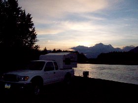
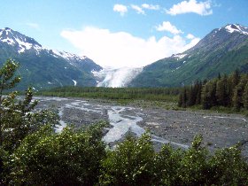
Camping at Portage - Exit Glacier near Seward Thursday we drive through the Kenai peninsula to Seward. There we look around and we book already for a cruise from Whittier throught the Prince William Sound. On the way back to Portage we visit the Exit glacier. During the trip it starts to thunder in the distance; dark cloads are approaching us. We decide to go back to the camper. From the parkingplace, with a beautiful view on the glacier, we can see how the imminent thunderstorm approaches. Before we go back to the camping place at Portage we visit the the village Hope at the Turnagain Bay. 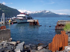
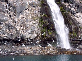
Cruiseschip at Whittier harbour - seagulls at a waterfall From Whittier we make a fantastic cruise through the Prince William Sound. We see salmon jumping out of the water and the big baldeagles flying as we sail through a small passage At the glacier fields we see again many animals among which numerous sea otters and seals that are basking in the sun on an ice floe. We even see some bears walking on an ice field. 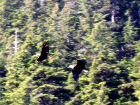
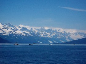
Bald eagles - fishing boats in the Prince William Sound The trip through the floating ice is very impressive. We see and hear how big pieces of ice break down from the glacier. In the afternoon we go back to Anchorage. There we take an RV Camping at the Centennial Park. The first (and last) real camping we take; because of noisy neighbours the night is mostly restless. 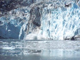
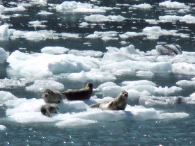
Collapsing part of the Surprise gletsjer - Seals at an ice floe Saturday we go shopping in Anchorage again and after that we drive further north towards Denali. The first part is quite boring, but as we see the mountains the landscape becomes more diverse. At the entrance of the park we book for the next morning at 6.30 a tourbus. We drive little back and camp along the Park highway. 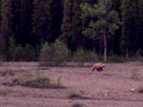
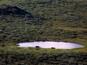
Grizzly bear and moose at the Denali National park We make an excursion through the Denali National Park. Early in the morning we go into the park with the shuttle bus. The weather is great and because of that we even have a good view on the Mount McKinley (about 6 km high); the highest mountain of America. From some distance we see many animals; among which Moose, Grizzly bears, Caribou, dallsheep, eagles and various kinds of marmots. 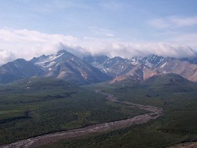
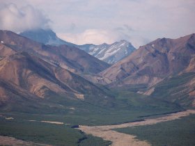
Views at Toklat (Denali Nationaal Park) On the way back we take off at Toklat to walk a bit through this marvellous landscape. In the evening we drive further by ourselves on the scenic Denali highway gravelroad where we find a very nice camping place. 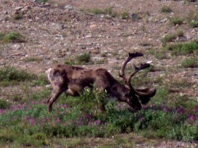
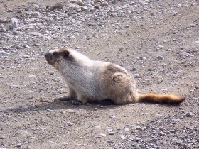
A caribou and a hoary marmot Monday morning a curious hoary marmot rummages around the camper. We drive by the Richardson and Alaska higway to Fairbanks. We drive through between the glacierfields of the Alaska Range and see for the first time the famous oil pipeline zigzagging through the landscape. Also today the weather is great. We drive the Steel highway to Circle and find after about one third of the route a camping place. The landscape is nice, but highly afflicted by forest fires. 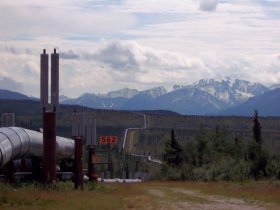
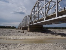
Alaska oil pipeline - Bridge over the Tanana river We drive back to Fairbanks. There we go shopping and make a 'pit stop' at Jilly Lube. The oil of the camper has to be replaced every 3000 mile according to the rental company (we think that's rather exaggerated, but nevertheless). It is a special experience to see how fast they service the camper with four men; within 15 minutes the small car service is done. We drive the Alaska highway to Tok and the Taylor highway further to Chicken, where we refuel. Along the way we se some Moose next to the road. We visit the Jack Wade gold dredge and just after the town of Chicken we camp near a river. 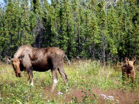
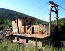
Moose along the Alaska Highway - Jack Wade gold dredge near Chicken Today we drive the Top of the World highway and cross the border to the Yukon (Canada). It's a beautifull road, but regrettably many trees are scorched black by a big forest fire of last year. Also now there is some fire ; as there are a gray cloads that smell like fire, covering the area after we crossed the border. 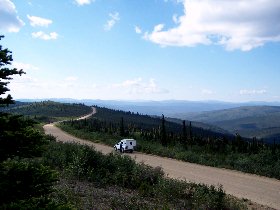
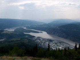
Top of the world highway - View on Dawson City from the Midnight Dome We take the (free) ferry to cross the Yukon river and visit the wonderfull goldtown Dawson City. One assumes oneself to be in the country and western past; very typical sand roads, saloons and old building. 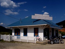
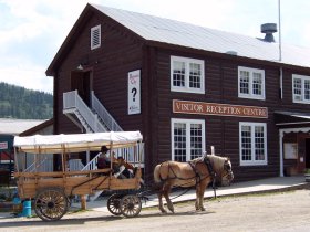
Dawson City (Dempster and Visitor centre) 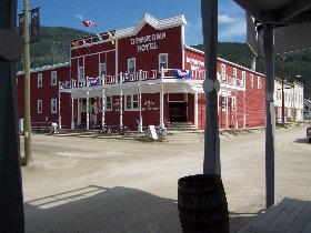
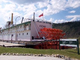
Dawson City (Downtown hotel and the SS Keno) From the Midnight Dome we have a great view over the surrounding; the Yukon river, the city and the dredging area. We visit in impressive Dredge Nr. 4 and drive further by the Klondike loop. 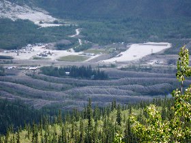
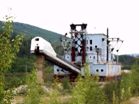
Gold dredging area at Dawson - Wooden gold-dredge nr. 4 We start driving the Dempster highway (about 700 km sand road). In the Oglive mountains we find a fabulous camping place. In the evening we see some Moose walking in the valley and also the light effects are very special in this area. 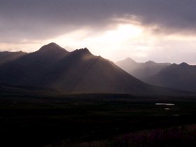
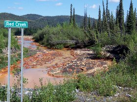
Evening in the Oglivie mountains - The red creek Thursday 14 juli we drive the dempster highway in the direction of Inuvik. It is a spectacular sandroad with maginificent panoramic views. Little before Eagle Plains regrettably a piece of forest burns again. We drive to the arctic circle and further towards the border with Northwest Territories. 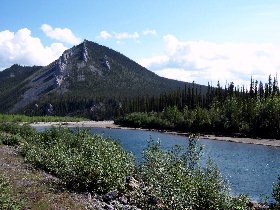
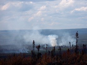
Peel river - Forest fire near Eagle Plains The Dempster highway gets a new top layer over there; razor-sharp slate pieces. It is not surprising that we get a leak tyre over here. With some effort and help we manage to place the spare tyre (the supplied hydraulic jack is worthless). It is already late, and since we don't know the road condition further on towards Inuvik, we decide to go back to Eagle Plains to get the tyre repaired. We have driven now about 450 km of the Dempster highway. We camp at the Arctic Circle. At night there are many mosquitoes. 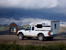
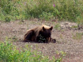
Dempster Highway at the Arctic Cirkel - Brown bear We get our tyre repaired in Eagle Plains and drive the Dempster highway back. On the way we see a bear and beavers. The fire near Eagle Plains is still proliferating, but we see a shower approaching. At the end of the day we decide to camp at the same spot as last wednesday. 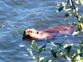
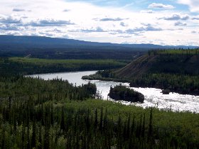
Beaver - The Five Finger rapids in the Yukon river In the morning we see another hoarmarmot on the road before we exit the Dempster highway. We drive further by the Klondike loop to the capital of the Yukon, Whitehorse. On the way we see the Five Finger Rapids in the Yukon river and a remaining of an old roadhouse from the goldrush period. We find a campingplace about 80 kilometers before Whitehorse. 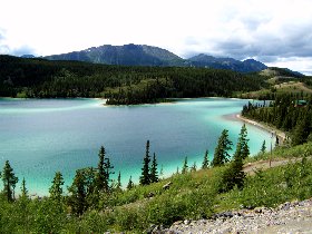
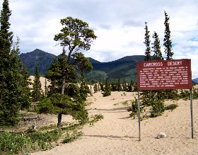
The rainbow (Emerald) lake - The Carcross mini desert Sunday starts rainy. After our breakfast we drive on to whitehorse. We visit the old city centre and see that the supermarket is also open today! We drive further to Carcross and see the lovely Emerald lake. Some further we see a mini desert. By Tagish we drive to the old goldrush-town Atlin, which falls little short in our expectations. On the spot we drive the nice Discovery route to the Surpise Lake. Some back along the Atlin road we find a campingplace nearby a little lake. 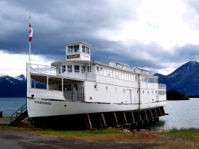
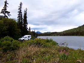
The Tarahne in Atlin - Camping nearby a lake at the Atlin road Today is a rather rainy day. We drive back to Carcross and further by the beautifull Klondike highway to Skagway. We drive through a landscape as we have seen much in Norway before; rocky and covered with moss. Skagway is a nice place with may jewelers and most buildings are in old style like in Dawson. 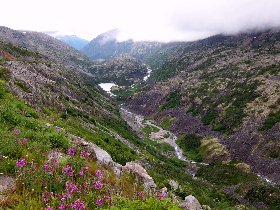
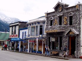
The Whitepass to Skagway - Centre of Skagway (Camp Skagway and the Red Union Saloon) Big cruise ships have dropped anchor in the harbor. At the Skagway Air Service we reserve already for a flight to Glacierbay for the coming day. We drive towards the Chilkoot Goldrush Trail. At the grassy plains at the end of the fjord near the former village Dyea, we find a nice campingplace. 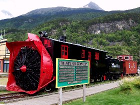
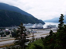
The white pass snow fleet - View over Skagway 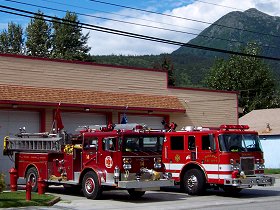
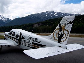
The fire brigade - Skagway Air Tuesday mornig starts quite cloudy, but already soon we see some blue spots appearing in the sky. The excursion goes on! During our 1.5 hour flight we fly closely over the glaciers of the Glacier Bay. A phantastic and onforgettable flight. 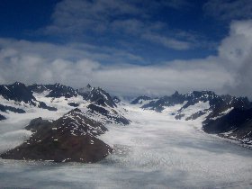
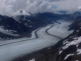
Flying between the snow covered mountain ridges of Glacier Bay - Long stretched glaciers 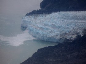
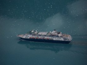
Glacier sprout in de Glacier Bay - Cruise schip in the Glacier Bay Later in the afternoon we drive back to Whitehorse. It is the same road, but as the sun shines now, the passage between Skagway and Carcross looks rather differently. We go shopping at a big supermarket (The Real Canadian Superstore), refuel and get water. Along the Alaska highway in the direction of Haines Junction, we find a camping place at the Takhini river crossing. 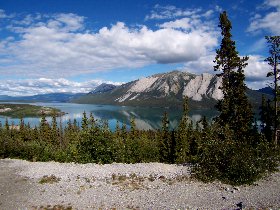
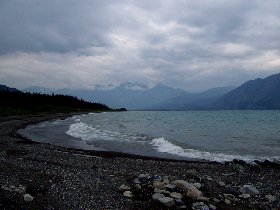
Along the Klondike highway - Destruction Bay Wednesday 20 juli, we drive the Alaska highway to Tok. The day starts somewhat rainy, but in the afternoon it gets dry. We drive along the St. Elias mountains and the Destruction Bay innerlake. There are many road construction works and the road is often in bad condition. At Toke we take the Glenn highway in the direction of Valdez. We find a spot to camp at near the Tok river. 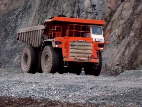
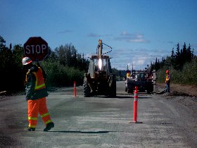
Several road construction works We drive further to Valdez by the Richardson highway. At the Chugach Mountains the landscape becomes again more impressive, We have a look at the Worthington glacier and go on through the Keystone canyon. 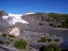
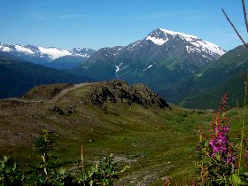
The Worthington Glacier - Outlook at the Thompson pas We visit Valdez and see the end station of the Alaska oil pipeline. Some big tankers are situated in the bay. The rivers over here are full of salmon. After visiting Valdez we drive back through the pass and camp near the glacier. 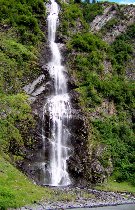
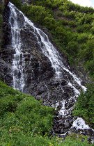
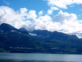
De bridal veil and horsetail waterfalls - Oil terminal at Valdez 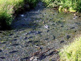
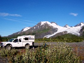
Jumping salmon in a creek - Camping near the Worthington glacier On friday 22 juli we drive the Edgerton highway to McCarthy and Kinicott. The former railroad track is now a fairly good road. The river crossing by means of the notorious wooden railroad bridge is possibly due to the side rail not as imposing as in former days, but still a nice experience. 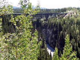
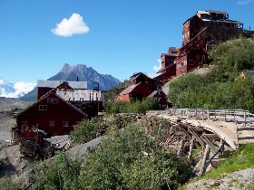
The Kuskalunabridge (McCarthy road) - Copper mine at Kennicott We visit the beautifull old copper town Kennicott and follow the trail to the glacier. On the way back we see a black bear with two young ones. We drive back the McArthy road for a bit and find a campingplace. 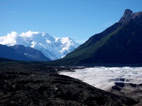
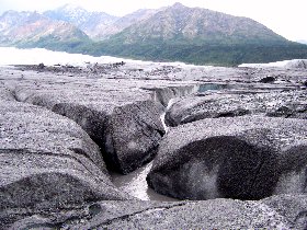
Kennicott dredging area and the glacier - Permafrost of the Matanuska glacier We drive back to Glenallen and follow subsequently the Glenn highway along the Chugach mountains. We go to the Matanuska glacier, where we walk over the permafrost and climb a part of the glacier. As soon as we are back at the camper, it starts raining. We drive on towards Palmer and take the route to the Mat-Su valley by the Hatcher pass. Over there we find again a campingplace. 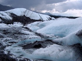
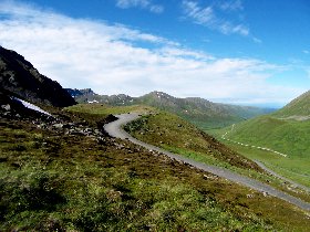
Melting ice of the Matanuska glacier - Mat-Su Valley Sunday we go back to Anchorage. At Palmer we visit the musk-ox farm for a moment, as we did not see those in the wild. In Anchorage we have a look at the airport and drive on to Kenai. There are many weekend-tourists coming back from Kenai; there is even a traffic jam from Portage till Anchorage. We fortunately drive in the other direction. At Portage we camp at the same spot as the first days of our holiday. 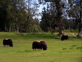
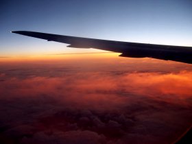
Musk-oxes - Flight back to The Netherlands Regrettably it is already the last day of our holiday. We pack our suitcases/travelbags again. In Portage it rains cats and dogs, but that turns out to be very locally as it is dry in Anchorage. We clean the camper at a car wash and change the oil (we have been driving already 3000 miles again). After that we return the camper and after checking in our luggage at the airport we go to the centre of Anchorage. In the evening we wait for our flight back to The Netherlands. The first part of the 9 hours flight to Cincinatti is very unpleasant as an asocial and smelly guy sits next to us. Fortunately he exits the plaine at the stopover in Salt Lake City. In Cincinnati we have 4 hours time for switching to our connecting flight to Amsterdam, so we eat at the airport. It is already wednesday as we arrive after a flight of ample 8 hours in The Netherlands. We take the train to 't Harde. It is the end of another great holiday.  |