 Holiday Iceland (1999) Photo and travel report From tuesday 20 july till tuesday 3 august 1999, we (Henry Jonker and Marcel Jonker) went on holiday to Iceland. During these two weeks, we followed the route as given in the map below (about 3400 km). This page contain a photo and travel report of this splendid holiday. In preparation of our holiday, we made use of the Dominicus Travel guide Iceland, the Ferdakort Ísland map (1:500.000) and various travel brochures.  Followed route over Iceland On tuesday 20 july 1999 the splendid holiday to Iceland started. At 14.00 we leave from Schiphol (Amsterdam) by a plane from Icelandair. After almost 3 hours, we already see Iceland. The last part of the flight, we fly over the Vatnajökul to Keflavik. After we have put the luggage in the rental car (a Suzuki Jimny), the journey starts. In Keflavik we do shopping at the supermarket and we get some gas barrels at a gas-station. Thereafter we leave to Pingvalla Vatn, where we find a nice camping place on the west side of the lake. 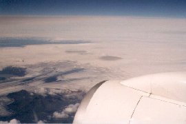
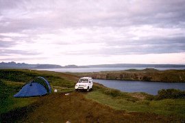
Flying over Iceland; the Vatnajökull - Camping at Pingvalla Vatn The next day, wednesday 21 july, we visit the national park Pingvellir, where cleaves and teares form the geological border between the European and North-American continent. There is also the beautifull 20 m high Öxarárfoss waterfall. After that, we drive to Geysir. The old Geysir geyser, that spouted boiling water about 40 to 60 meters high is no longer active, but the Strokkur sends each 4 to 8 minutes a waterbeam up that is 10 to 20 meters high. 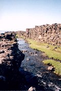
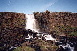
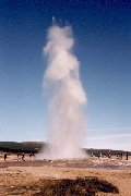
Öxará river and Öxarárfoss waterfall in Pingvellir - Strokkur geyser in action On our way to the Gullfoss waterfall, we first come along a beautifull 2,5 km long and 70 m deep canyon, where the river Hvítá streams. Then we see the Gullfoss waterfall that deserves it's nickname; the golden waterfall. The water falls in two steps, that are perpendicular to each other, about 32 meter downwards. 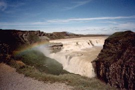
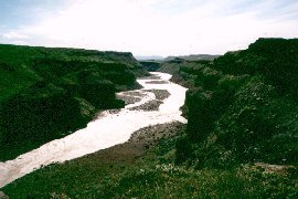
The Gullfoss waterfall and the Hvítá canyon From the Gullfoss we go on by Fludir in the direction of Pjórsárdalur. At a small river along road 32 we find a nice camping place. Thursday we go to the Háifoss waterfall. By a jeep track, we arrive at the 122 m high waterfall. The Fossá river splits in two waterfalls that fall into a very deep gap. 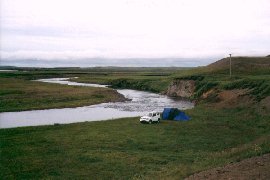
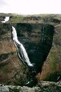
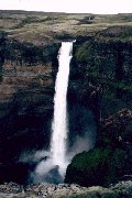
Camping place near a small river - The two Háifoss waterfalls Because of rainy weather in the afternoon we will not make a trip to the Hekla volcano and the landmannalaugar. So we go on to Pórsmörk, where we find a nice camping place next to a small waterfall. 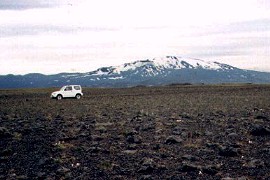
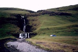
On our way through Pórsmörk with a view on the Hekla volcano - Camping near a waterfall On a rainy friday we go on to the Seljalandsfoss, where you can even walk behind the waterfall, and the 60 meters high Skogafoss waterfall. At the most southern point of Iceland, the 120 m high cape Dyrhólaey is located. We unfortunately arrive when the tide is high, but when it is ebb tide, a big hole is visible where even boats can go through. 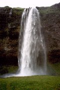
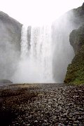
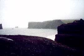
The Seljalandsfoss and Skogafoss waterfall - the Cape Dyrhólaey Dyrhólaey consists of a a beautifull bold cliff, a black sandcoast and also some green bird-rocks where a lot of seabirds nestle. At these bird-rocks we sea much parrotdivers. 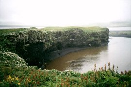
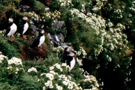
The Bird-rock and Parrotdivers at Dyrhólaey Then we go further through the middland to the 30 km long volcanic cleave, the Eldgjá. After some easy rivers we arrive at a rather big one where we do not want to go through with our little 4-wheel drive rental car. On the way back along the road F208, we find a nice camping place again. 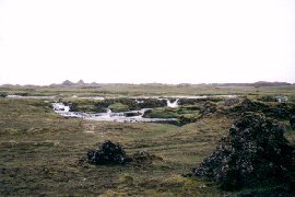
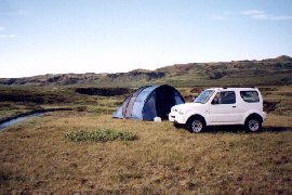
The Eldgjá and a Camping place at the beginning of road F208 On saturday, the weather is better and in the shining sun we go to the Vatnajökull. We ramble through a beautifull landscape along road number 1 south from the Kaldbakur. The south side of the road consists of a giant grey sand area that is formed by lots of glacier rivers, but the north side is green on most of the places. 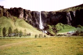
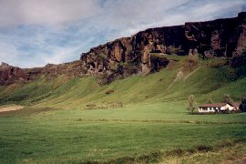
Landscape along road number 1 south of Kaldbukur In the Skaftafell National Park we visit the 20 meters hight Svartifoss waterfall that is especially known for its beautifull basalt formations. The Skaftafell Park has a rich flora with birch trees. After we have visited the Svinafelljökull glacier and made a trip to the 140 meters high Stigafoss waterfall, we go on to the Jökulsarlon. This 130 meters deep glacier lake with a lot of ice floes is really magnificent. The ice bergs originate from the Breidamerjökull. 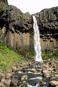
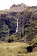
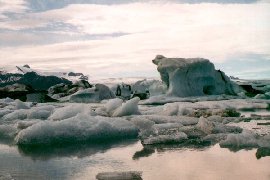
The Svartifoss and Stigafoss waterfalls - The glacier lake Jökulsarlon Some further along road 1, we find a nice place behind a hillock to put the tent. By night, we have a beautifull view over the Atlantic Ocean from this hill. The next day, we go on along the coast past Höfn. 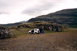
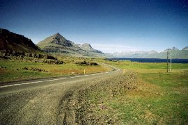
Camping place behind a hillock - East coast past Höfn From the Berufjördur, we take the axarvegur. This small road, that is also called the Öxi-pass, is only passable by cars with four-wheel-drive and goes along several waterfalls. Along the Lagarfljót, we find a camping place near a waterfall. We first eat our diner, and then we climb the mountains to the Hengifoss waterfall. Halfway, we see the beautifull Litlanesfoss waterfall, that is surrounded by basalt pillars. 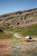
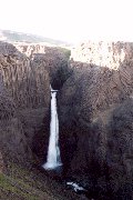
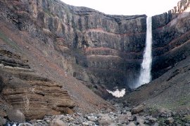
On the way through the Öxi-pass - The Litlanesfoss and Hengifoss waterfall at the Lagarfljót On monday 26 juli, we drive to the Askja. The roads F905 and F910 look short, but in fact it takes at least 3 hours. In the midland we have some sand storms and river crossings that make the trip rather adventurous. 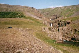
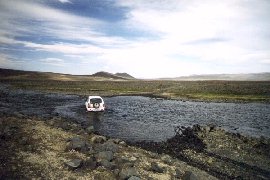
Camping place near the Lagarfljót - River crossing in the midland Askja and the surrounding area look like a moon landscape. Arrived at the Askja we cannot go further because of snow and lava, so we walk to the Viti-crater. 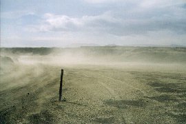
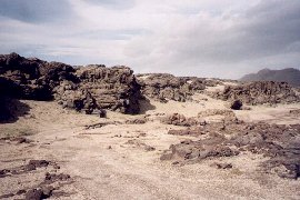
Sand storm - The road through the midland We walk through a merely with lava and snow filled caldera, where one has to pay attention for warm places in the ice. At the end we arrive at the Viti explosion crater, that has a diameter of 150 meters. At the botom there is a little green crater lake that smells for sulfur. It seems that there are people that like to take a bath in there, but we really don't like to do that. Behind the crater, there is an outstretched lake, the Öskjuvatn. 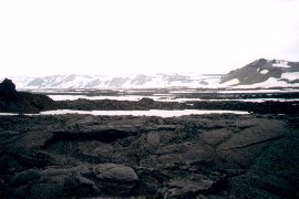
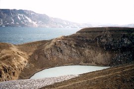
The caldera that is filled with lava and snow - The Viti and Öskjuvatn Because it is already late when we come back to the car, we decide to stay at the primitive camping at the Askja. During the night the sand storms are quite strong. 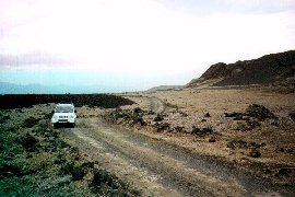
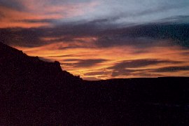
The road at Askja with a lot of lava - At night at the 'camping' at Askja Tuesday morning we decide to leave very early because of the increasing force of the sand storms. At 5.50 am we break down the tent. A broken pole and some minor damages are due to this bizar night at Askja. We drive on to the north coast of Iceland. 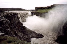
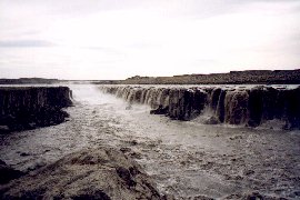
The Dettifoss and Selfoss waterfall in the Jökulsá á Fjöllum In the Jökulsá á Fjöllum river, we see the 44 meters high Dettifoss waterfall. One has also a nice view over the 25 km long Jökulsa canyon, that is averagely 500 meters broad and sometimes more than 100 m deep. Flow upwards there is the Selfoss waterfall, that is only 13 meters high, but surely as beautifull. A third waterfall, the Hafragilsfoss, is 27 meters high and is some more flow downward. 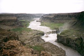
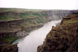
The Hafragilsfoss waterfall and a part of the Jökulsá canyon At Austraraland we find a nice place to put our tent. First we get rid of the Askja sand. After a good night of sleep, we go to the Ásbyrgi on wednesday where we see the 4 km long horseshoe shaped gorge. The rock faces are about 100 meters high. Ásbyrgi is part of the Jökulsárgljúfur National Park. 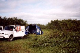
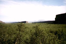
Camping place at Austraraland - The gorge Ásbyrgi From Ásbyrgi we drive back to the beginning of road F88, where we drive into the Hrossaborg explosion crater. The 10.000 years old ellyps shaped crater towers about 40 meters above the envionment. 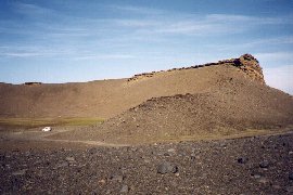
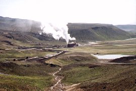
The Hrossaborg explosion crater - The Krafla station Just behind the geothermical Krafla power station, we visit the Leirhnjúkur field and see the water filled Viti explosion crater from 1724. In this vulcanic active area we also see some warm wells. When walking on the lava, the warm wells give a special effect. 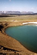
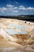
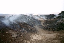
Viti explosion crater - Warm sulfur well - Steam out of the lava in the Krafla area Some further along the ring road there is an even more impressive field, called Hverarönd. There are a lot of warm sulfur wells and kooking mudd pools. On some places steam comes howling and whistling out of the ground. 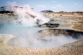
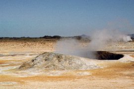
Some warm wells in the Hverarönd field By a tough path, we climb the Namafjall mountain (432 m). On the mountainside we find a lot of sulfur cristals. On top we have a beautifull view over the entire area. 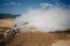
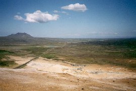
Steam howling and whisling out of the ground - View over the area from the Namafjall At Mývatn, the mosquito lake, we climb the 2500 years old Hverfjall explosion crater. This circle shaped crater with a diameter of 1 km merely consists of ash. On the bottom (140 m deep), there is a little hill. From the crater edge one has a nice view over the area and it is possible to see the Lúdent explosion crater, that is about 7000 years old. Like at Askja, American astronauts have excercised here for the landing on the moon. 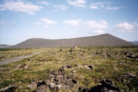

The Hverfjall explosion crater - Mývatn, the mosquito lake, with whimsical lava shapes We leave Mývatn and drive along the Godafoss towards the Aldeyjarfoss waterfall. The waterfall that is surrounded by basalt pillars is surely worth a visit. Some back along the Sprengisandur route, we find a nice camping place in a little birch forrest. 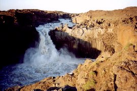
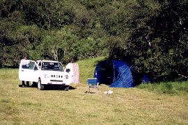
The Aldeyjarfoss waterfall - Campingplace in a little birch forrest Thursday morning we visit, just along the ring road, the 12 meters high Godafoss waterfall. This waterfall is located in the Bárdardalshraun lava field, that originated 700 years ago from the Trölladyngja shield volcano. A lot of lava can be found in the Skjalfandfljót river. On our way to the northwest fjords Vestfirdir, we come along Akureyri, the capital city of the north. 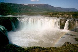
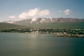
The Godafoss waterfall - Akureyri, the capital city of the north Some further along the ring road we see the little Kotagil gap. At Hrútafjördur we leave the ring road and drive along the fjords past Holmavik. We take the 608 through the midland towards the southside of the peninsula. From the mountains we already see the mist in the southern fjords. Finally we have to put down our tent in the middle of the mist somewhere in these fjords. 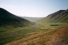
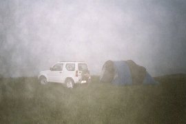
Valley at Varmahlid - Camping place in the mist The next day we drive to the magnificent Dynjandi waterfall. The Dynjandi is 100 meters high and at the foot 50 meters broad. Flow downwards of the Dynjandi there are five more waterfalls; the Háifoss, Ûdafoss, Göngufoss, Hundafoss and Baerfoss. 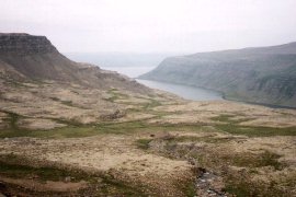
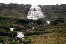
One of the fjords - The Dynjandi waterfall We take the same route back along the fjords and see that the mist has disappeared. On the Snaefellsnes peninsula we find a nice campingplace along road 57. Because of the fences, it is hard to find a place over here. 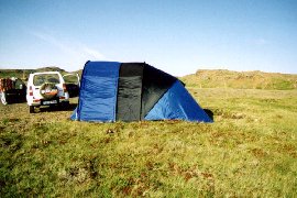
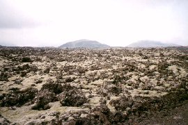
Camping place on Snaelfellsnes - Neshraun lava field with explosion craters On Saturday 31 juli we travel through Snaefellsnes. On the way we see multiple lava fields and explosion craters. The Hólahólar explosion crater is open on one side, so it is possible to drive in there by car. On the southern coast we have a nice view on the Snaefellsjökull volcano (1442 m) that is merely covered with ice and lava. 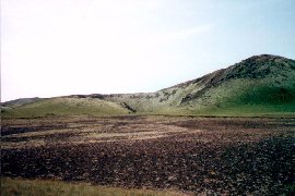
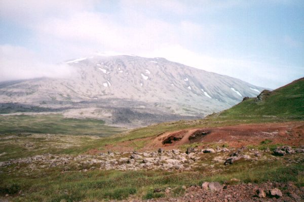
The Hólahólar explosion crater - The Snaefellsjökull vulcano At Londrangar we visit the coast. Two stoan pillars rise out of the sea. The biggest one is 75 meters high and the other 61 meters. These pillars are remainders of a volcano that has been flushed away by the sea. A lot of gulls are present on the birdrock Púfabjarg. 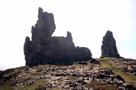
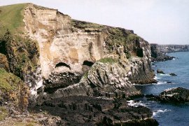
The stoan pillars at Londrangar - Púfabjarg birdrock We take roads F570 and 54 through the midland an walk through the Budahraun lava field. After that we leave Snaefellsnes. Because of private territory, we are not allowed to put down our tent next to the Eldborgerhraun, but next to road 540 at Akrar we find a nice place again. 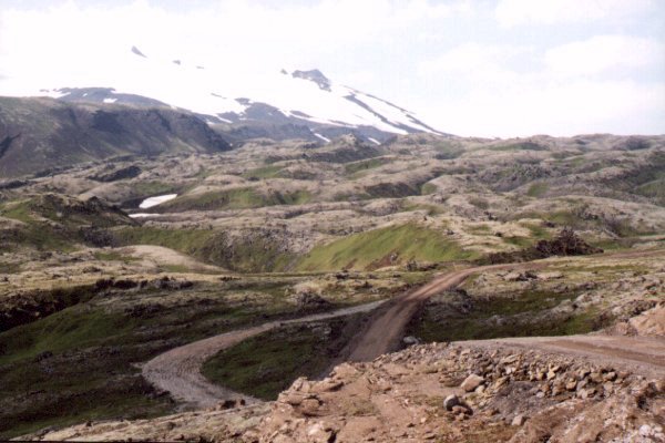
Midland of Snaefellsnes - Camping place at Akrar The next morning we visit the Rhaunfossar. At this special waterfall, the river Hvítá flows for a distance of about 1 km out of the lava in the river After diner, we go further to Surtshellir, a 2 km long lava cave. The roof has been broken on several places so it takes some climbing to pass the rocks to get in the deeper areas of the cave. 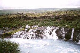
The Rhaunfossar waterfall - The lava cave Surtshellir By the midland road F550 we go to Pingvellir, where we place the tent on the same spot as on our first day of this holliday. 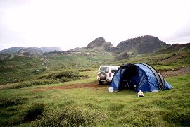

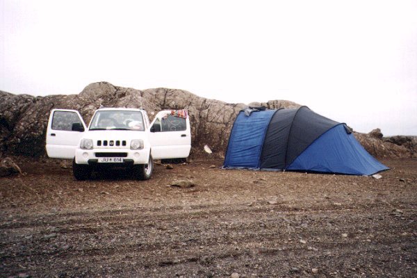
The campingplace at Pingvalla Vatn - Pingvalla Vatn by night Monday we drive to Reykjavik. The capital city of Iceland is not very special. We go to the airport at Keflavik to confirm our flight back; that appeared to be unnecessary. There after we visit the peninsula Reykjanes. At the Kleifarvatn lake we eat and relax. At Krýsuvik we see a warm well area where steam escapes from the ground. Some further is Graenavatn, a green lake in an explosion crater. 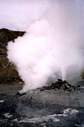
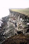
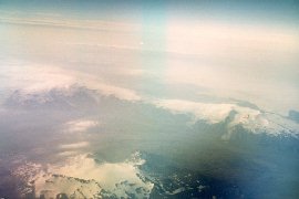
Steam escapes from the ground at Krýsuvik - Rock coast at Krýsuviksberg - The Vatnajökull At Krýsuviksberg there is a rock coast with a lot of sea birds. A jeep track can be followed easily till the coast. We go further and from distance we see the Blue lagoon lake, that is used for swimming. The lake is situated in the middle of a lava field. After diner, and rearranging our luggage at Hafnaberg we go to the airport. The next day we leave Iceland at 7.15 and go back to Holland.  |