 Holiday North Cape (2000) Photo and travel report In the summer of 2000, we (Henry Jonker and Marcel Jonker) made a trip to the most northern point of Europe; the North Cape. During three weeks, from Sunday the 16th of juli till Monday the 7th of August (22 days), we followed the route as shown on the map. The total distance was about 9400 km. This page contains a photo and travel report of this holliday. 
 Followed route to and through Scandinavia - North Cape monument The summer of 2000, we made a trip to the North Cape. The trip started on the 16th of juli. Sunday morning at 7 am we leave by car to Sweden. In Germany we first have little rain, but how further we come, the better the weather becomes. We travel through the new tunnel and bridge that connect Copenhagen and Malmö. 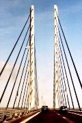
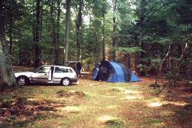
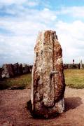
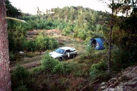
The bridge from Copenhagen to Malmö - Camping in the forrest - Viking grave at Käseberga In Sweden, we look for a spot to camp near Dalby, but that is not easy; most roads are forbidden for cars. Finally, we find a nice camplingplace in a forrest some more south. Monday we have beautifull weather when we travel along the south coast of Sweden. We visit the viking grave at Käseberga and see a lot of stones (also a viking-grave) at Kivik. 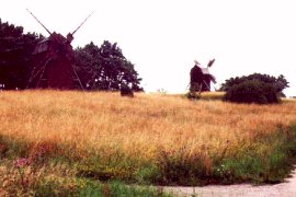
Old mills on Öland - Camplingplace At Ahus, we leave the coast and go on inland. We find a compingplace near a lake; there are a lot of mosquito's. Tuesday morning it is raining a bit when we go on to Kalmar and Öland. How closer we come to the coast, the better the weather becomes. At the eastern coast of Öland we finally sit down in the sun. Via Linkoping, we go through the inland towards Stockholm. Rain and sun alternate each other. Past Norrkoping we find a campingspot. Wednesday we go to Stockholm. Via the E4, one easily drives into the inner city. On the side of the Mälarlake we find a parking place. 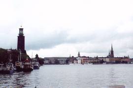
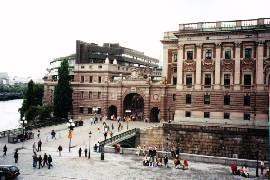
The island Riddarholmen in Stockholm - Riksdag Huset We see a lot of nice buildings; among others the Royal Palace. We happen to be there excactly at the time of the change of guards (14.00). We leave Stockholm and find a campingplace east of Uppsala. It was not a sunny day, but at least it was dry at the right moments. The next day we go on to the north. We drive over small roads along the coast and then along the Ljusnan river landinwards. It's a rainy day, but when we put down the tent it is dry. 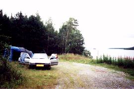
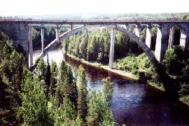
Campingplace near a river - High bridge over a river Friday is fortunately a sunny day again. We drive in the direction of Umea through the countryside by many small sandroads and find a campingspot next to a bridge. We visit Umea; there is a lot of wood at the harbour wharfs, but there is no drifting wood in the river; for that one has to be earlier in the season. We follow the Vindälven river and see nice rapids. We find a campingspot very close to the river. 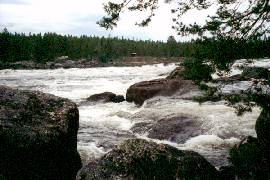
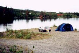
Rapid and campingplace at the Vindälven river Through the swamp, we go to Arvidsjaur, where we take the road to Jokkmokk. We pass the magic point of the Polar Circle. In this area, there are lots of reservoirs, dams and hydroelectric power stations. Some rivers have been redirectioned entirely and therefore the landscape has been affected a lot. 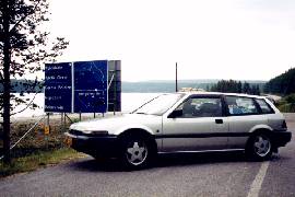
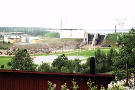
We pass the Polar Circle - Hydroelectric Power Station at Porjus After Porjus, we take the road into the mountains of the Stora Sjofallets National park. The road in the north of the Sarek area goes on after Vietas through a magnificent landscape. 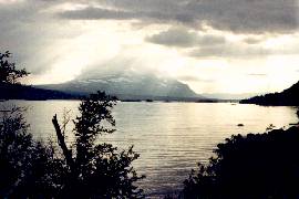
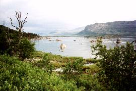
Stora Sjöfallets National Park In the nationaal park, we find a campingplace on a hill with a very nice view on the glacier. The Stortoppen mountain is 2016 meters high. The presence of the many mosquito's do make this campingspot nevertheless a bit less nice. 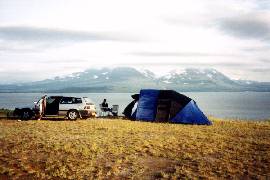
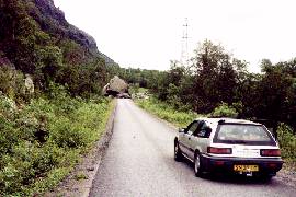
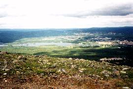
Campingplace with a view on the glacier - Rocks block the road Monday 24 juli we drive around the Muddus National Park. On the 821 meters high Dundret mountain (a wintersport area) we have a nice view over the surrounding of the nature reserve that mainly consists of swamp, and the city of Gällivare. 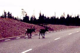
Reindeers on the road - View on Gällivare from the Dundret mountain From Gällivare, we go further north over the E10 to Kiruna. There we take a road to the area of the Kebnekaise. We drive till the town of Nikkaluokta. Many walkers leave there for a trip to the 2117 meters high Kebnekaise (19 km). We find a campingplace next to a stream. 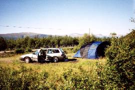
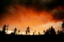
Campingplace near Kiruna - Beautifull sky at "sundown" Tuesday we drive on in the direction of the North Cape. The trip takes us also for a short distance through Finland, that strongly resembles Sweden (also a lot of Mosquito's!). After that, the landscape starts to vary much more; we see mountains, snow, nice views, shortly we arived in Norway. We find a campingplace at a fjord. There are still some mosquito's, but when the temperature goes down in the evening, they disappear. 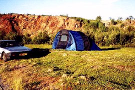
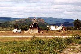
Camping near a fjord - Typical Samen tent; now mainly souvenir salesman Wednesday, we visit the most northern point of Europe; the North Cape. There are several magnificent views and beautifull fjords. The steeb wall at the North Cape itself is 307 meters high. 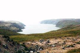
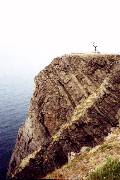
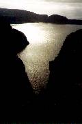
Fjords and views at and around the area of the North Cape On the northern island of Mageroya, we find a nice camping place. In the evening, we climb the mountain behind the tent and we have a beautifull view over the area. The owners of a blue camper like to place their car just on the other side of the road across our tent. As we lie down at night, another car even stops next to the tent and after the owners have been walking around we hear; "Look they are also Dutch..." (in dutch of course), and that after driving about 4500 km. 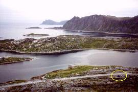
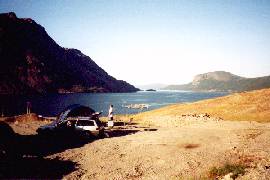
Campingplace on Mageroya - Camping at the Langfjord Thursday we drive on along the Norwegian fjords. The weather is beautifull and we got rid of all those Swedisch mosquito's; a real holiday feeling. We drive to Alta and at the Langfjord we find a camping spot with an excelent view over the fjord. 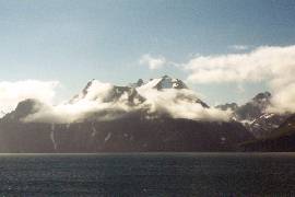
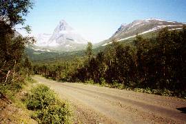
With snow covered mountain at a fjord - Sandroad on the way to the Sorfjorden Friday is a nice day again with a lot of sun. We follow the E6 and go along many fjords. In Troms Fylke we find at the Sorfjorden a beautifull camping site. The varied fjord-landscape is really very nice. 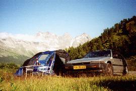
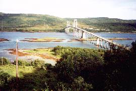
Camping site at the Sorfjorden - Bridge at the start of Lofoten The next day we drive at the E6 for a while and there after many little roads. In the morning it is rather misty, but during the day the weather improves. On Lofoten we find at the northern Ejdsfjorden a nice place to put our tent. 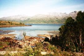
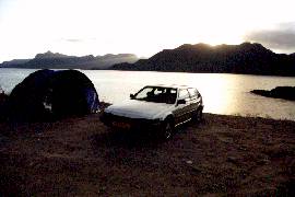
Beautifull fjords on Lofoten - Campingplace on Lofoten Sunday we drive to A on Lofoten. A splendid trip! A lot of steeb walls an high fjords. We take a ferryboat to Bodo. It has already become rather late as we find a campingplace at the fjord. 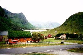
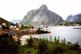
High and steeb fjords on Lofoten - Old-fashioned port at the fjord We follow touristic road 17 along several fjords. This route is really worth driving. It stays cloudy, but at the end of the afternoon there are moments that the sun comes through. Landinwards, we visit the Svartisen glacier. By a small road one can drive to a big dam, that blocks the beautifull glacier lake. 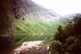
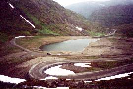
Mountain lake landinwards - Little road to the Svartisen glacier On Lofoten, the start-engine of the car already started to make a strange sound; and the starting became worse untill the main-engine did not get started anymore at all when we wanted to leave the ferryboat from Jektvik to Kilbogam. 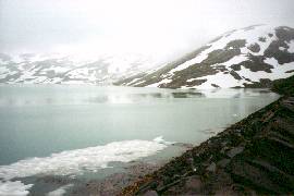
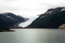
Glacier lake - Sprout of the Svartisen glacier At a side-road we find a campingplace where we can park the car on a slope. The next day the car starts from the slope and we drive to Mo i Rana. With difficulty we find someone who will have a look at the start-engine. We check in at a pension and pass the time in the city. When we come back at Mo Vikleverksted it turns out that the start-engine has been turned over because of a loose bolt. This joke unfortunately cost us quite a lot of money (about 1500 Kroner), because he says that he has checked the entire start-engine (?); at least we can drive on again. 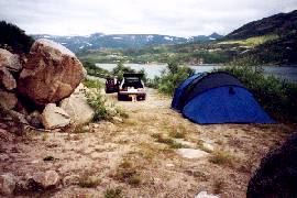
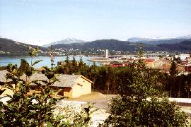
Campingplace at the fjord - View over Mo i Rana In the evening we go for a walk at the Svartisen glacier. We slept quite long and leave Mo i Rana halfway the morning. We go around Mosjoen by the Rosvatnet lake. Then we drive to the fjords again. The weather is beautifull today; almost no cloads and a temperature of around 21 degrees celcius. At the fjords we find a campingplace again. 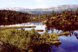
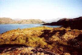
Beautifull lake landinwards - The fjord behind a campingplace Thursday is our last full day in Norway. We drive along some fjords and take the ferryboat to Lund. At Steinkjer we drive a little while on the E6 and then we take road 72 to Sweden. Just before the border we find a nice campingplace next to a river. It started to rain, whereas we have been sitting in the afternoon in the sun. 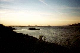
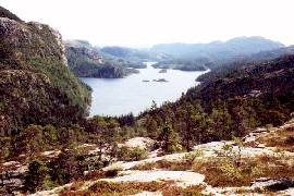
The fjord at night - Lake landinwards The trip through Sweden starts quite boring. The weather changes fast; sun and rain alternate each other. We take the road before the Storjön lake at Östersund and we go landinwards (Jämtlands Län) by Bortrun and Ljangdalen. The countryside over there is a lot nicer and divers. 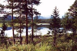
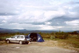
One of many lakes in Sweden - Campingplace in the mountains In the mountains against the Norwegian border we find a place with not so much mosquito's. Saturday we visit the highest waterfall of Sweden; the Njupeskär. We drive a little bit further to the south and find a campingplace without mosquito's in a wintersport area. At least we stay without them untill 21.50 when a mass attack of mosquito's is put in on our tent. We decide to go to sleep. 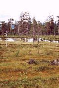
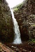
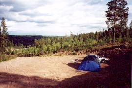
Swamp and the Njupeskär waterfall - Camping site Sunday morning it has been raining. We drive further in between the two big lakes (Vänern en Vättern) to the west coast. At this touristic coast it is difficult to find a place to put our tent. We find a windy place a bit more landinwards. Monday we drive back to the Netherlands. Finally the whole trip turned out to be about 9.400 km.  |