 Holiday Norway (2004) Photo and travel report In the summer of 2004, we (Henry Jonker en Marcel Jonker) made again a trip through the southern part of Norway. We followed in 20 days (sunday 1 through friday the 20th of august) the route as shown on the map below (about 6700 km). This page contains a photo- and travelreport of this holiday. 
 Followed route through and to the southern part of Norway We leave on sunday the 1st of august at 6.00 in the morning from Epe. It is a beautifull day with a lot of sun; a forerunner for a pleasant holiday. There are some road constructions, but luckily hardly any traffic jam on the way. There is a lot of wind in Denmark, and we see various cars with caravans next to the road. In Sweden we drive the E6 northwards. 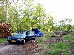
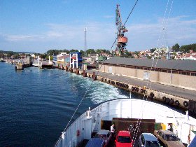
Campingplace in Sweden - Ferry from Moss to Horten After driving the E4 for a little while, we find in the midland in a forrest area a suitable campingplace. Totally against our expectations, we do not experience trouble from mosquitos at our first free camping place in Sweden. 
Oslofjord as seen from the ferry Moss-Horten By Laholm, we continue the E6 in the direction of Oslo. The weather is still great. At Sarpsborg and Frederikstad, there should be some historical attractions, but we are unable to find an information board. As we have seen many of these during our previous trips, we decide to go further. At Moss, we take the ferry over the Oslofjord to Horten. 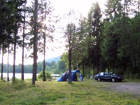
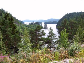
Campingplace at a little lake - Agder-Telemarken After Tonsberg, we go to the midland and we find a nice campingplace at a lake. We slept unusually long; it must have been the Norwegian peace. Today we go on through the states of Telemarken and Agder. 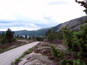

Agder-Telemarken - Camping with view on a lake We drive along Drangedal and Evje through a typical Norwegian mountain area with a lot of rocks. It is a diversefying route through a forrest rich region with lakes, rivers and waterfalls. At the end of the day we find again a nice campingplace with a view on the lake. 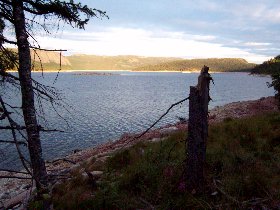
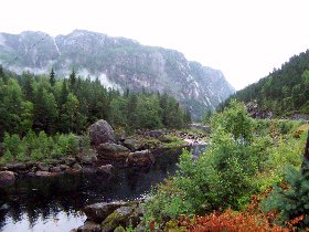
Evening - Agder-Rogaland Wednesday is a rainy day. We drive further through the midland by Tonstad towards Sirdal. Despite the rain and fog it is a beautifull route. After a stop at the Manafossen waterfall, we drive on towards Stavanger. Characteristic for the landscape of the state Rogaland are the fjords and the elongated lakes. 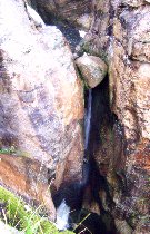
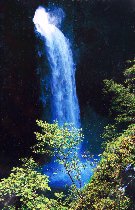
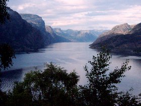
Gap - Manafossen waterfall - Lysefjords To visit the neighborhood of the Lysefjords, we planned to take the campingsite at the Preikestolen (Pulpit Rock), but this one does not fulfill our standard (peace, space and nice environment and/or view). Probably we are spoiled by all our nice free camping spots. We decide to drive little further and find a campingplace at an inner lake. Unfortunately, this time "thunder" flies make the evening less pleasant. 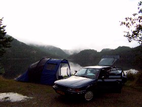
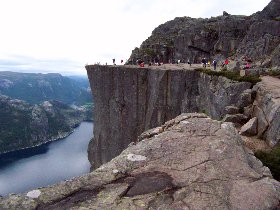
Campingspot at a lake - The preikestolen (600m above the Lysefjords) We go to the Preikestolen. It is a nice climb and we are fortunate to have good weather. The view from 600 meters above the Lysefjord is realy phantastic. Kids and their parents are stunting for a picture on the edge of the rock formation. We drive further north and take the ferry at Hjelmeland-Nesvik. We drive through a foggy, but beautifull part of the midland at Mosvatnet. Just after Suldalsvatn, we find a campingplace nearby a wild stream. 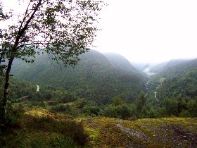
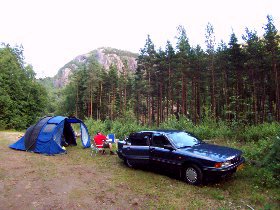
Mosvatnet - Campingplace naer a wild stream Friday the 6th of august, we drive on to Odda and subsequently around the Folgefonno glacier. Characteristic for this area is the horticulture of fruit and vegetables. There are many stands with fruit along the road. At Jondal, we take the ferry over the Hardangerfjord; that is 179 km long and 830 meters deep. We drive along the Steidalsfossen; one can walk behind this waterfall. The closer we get in de neighbourhood of Bergen, the harder it starts to rain. The stories are 'thus' really true. We decide to take the E16 back and find a dry campingplace in the touristic Raundalen. 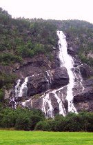
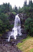
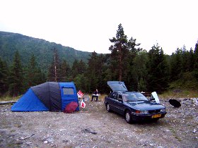
Vidfoss waterfall - Steindalsfossen - Camping in Raundalen We go shopping in Voss, and continue our trip in the direction of the Jostedalsbreen. At Vangsness, we take the ferry to Hella. We drive road 13 through the beautifull Mossfjelet nature reserve and drive further along the Sognefjords to Sogndal. The Sognefjord is the longest and deepest fjord of Norway. At the entrance the fjord is over 1200 meters deep and the small branches that go 200 km inland, are still 600 to 1000 meters deep (the North Sea is only 50 meters deep). The mountains along the fjord are at some places 1600 meters high. 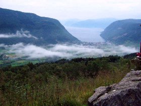
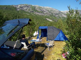
View at Vik (Sognefjords) - Camping in Jostedalen At Gaupne we drive into the Jostedalen. We find a great campingplace directly next to the wild glacier-river. From here, we even have a view on some beautifull waterfalls. 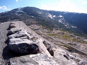
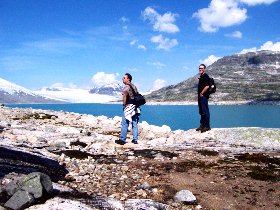
Austedalen dam - Trip along the reservoir to the glacier Sunday, we drive to the Austedalen dam, totally at the end of the road. From the dam, one watches the nice reservoir with at the end the glacier. In front of the glacier there are large pieces of ice in the water. Although there is no hiking route along the artifical lake, we climb over the rocks along the reservoir in the direction of the glacier. The weather is splendid and we enjoy the rough landscape. When we get back, we decide to put down our tent at the same spot as where we stayed the night before. 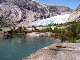
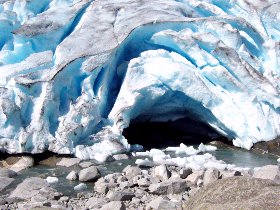
Nigardsbreen Monday we go to the "touristic" Nigardsbreen. From the parkingplace one can take a shortcut by taking the boat, but we chose to walk all the way. The glacier is impressive, and one can see pieces of ice breaking off. The bright sunshine, the blue glow through the ice give great effects. 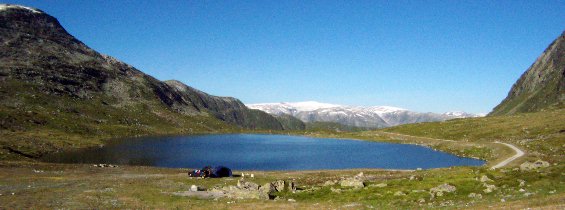
Camping at a mountain lake with view on the Jostedalsbreen In the afternoon we drive to a mountain where one has a great view on the Jostedalsbreen. It is a nice location; we enjoy the peace and swim in the clear lake. We decide to stay here and put down our tent. 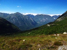
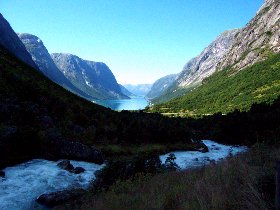
View on the Jostedal - Rjosnesfjords We leave the Jostedal and drive by Skei and Nordfjordeid in towards Volda. It is a nice route thorugh the inland and along the fjords. We drive to Viddal, where on has a beutifull view on the steeb and high Storfjord. We put our tent next to a little wild river. In the evening we get company from many fisherman; that fish over here the whole night long. 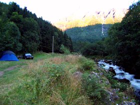
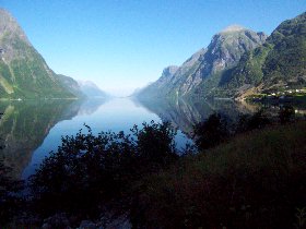
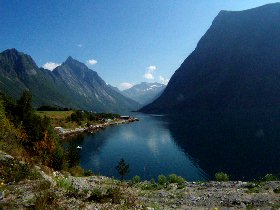
Camping near a little river - Storfjorden On wednesday we drive the 655 through the beautifull area of Sunmore. By ferry we go to Leknes over the Hjörungsfjords and Nordingsfjords, after which we drive through the beutifull Norangsdalen en Nibbedalen. By road 60, we drive along the Horningdalsvatn (Europes deepest inner lake; 514 m) and along the northside of the Jostedalsbreen. We have been in this area before in 1998. 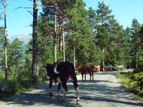
Cows on the road - Hjorungsfjords-Nordingsfjords We drive on over Videdalen, the old country-side route to Grotli. This spectacular road is a nice alternative for the main road through the tunnels. At the wintersport area Videsteter, one ahas a great view over the wide snowfields (with ski lifts). Some further we find a beautifull campingplace. 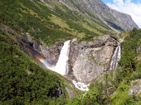
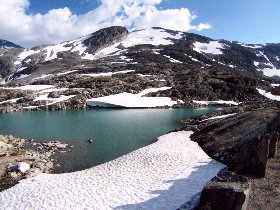
Waterfall at the start of Videdalen - Snow fields Videdalen The next day, we drive to Geiranger and we behold the magnificent view form Dalsnibba (1476 meter) just like we did in 1998. The small Geirangerfjord is clamped in between very high cliff faces and the village Geiranger is a nice touristic place. Also now, some big cruise ships casted anchor in the fjord. 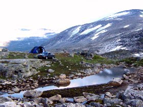
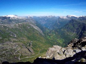
Free camping between rocks and snow - View at Geiranger from Dalsnibba (1476 meter) This time we take the ferry though the imressive Geriangerfjord. We go along the veilshaped Syv Sostra (seven sisters) waterfall to Hellesylt. The weather is just like the last days perfect. 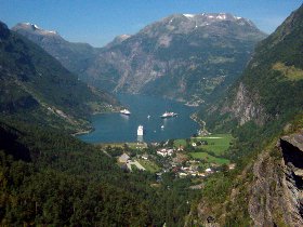
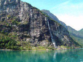
The Geirangerfjord - Waterfall Sov Sostre (seven sisters) We drive on to Stranda, where we take the ferry over the Sunnylfjord. At the end of the Tafjord we find a nice campingplace, directly at the fjord. 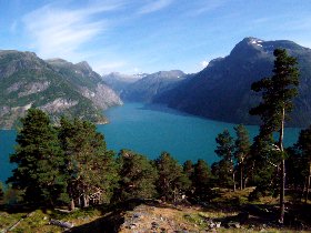
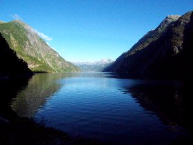
View Geirangerfjord-Sunnylsfjorden - Norddalfjorden-Tafjord We drive the "golden route" further over the beautifull trollstig veien. In 1998 we had a lot of rain here, but now the weather is splendid. At the viewpoint one can see the road and it's many hairpin bends going along the Stigfoss waterfall (180 meters). 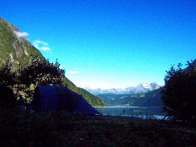
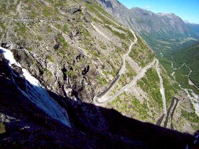
Camping at the Tafjord - View at the Trollstigsveien We drive in between the steeb mountain walls of Romsdalen on towards the national park Dovrefjell. The wild river Rauma flows through the valley. The last part of the road to Dombas is less impressive. 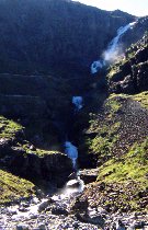
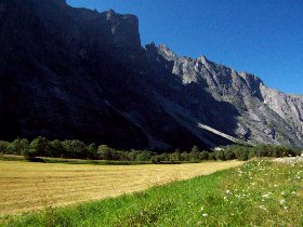
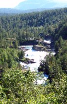
Stigfoss waterfall - Romsdalen - Rauma river At Dovrefjell we drive through the valley of the Driva and follow the road through Vinstradalen and an extraordinary bald area; the Ryphuskollen. We find a campingpace at a grass field. 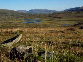
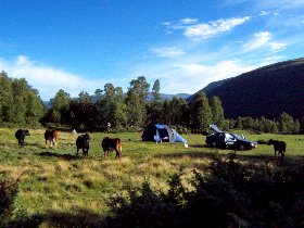
Ryphuskollen - Camping between the cows and sheep Eraly in the morning there are again sheep and cows around our tent. It was a cold night. We drive along / through the millitary area of Skytefelt and from Snöheim we make a nice trip to Snöhetta. We leave Dovrefjell in the direction of Rondane. By Folldal and Holen, we drive the "touristic" route through Grimsdalen. We find a wonderfull campingplace, directly at a river. 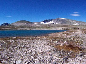
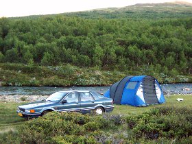
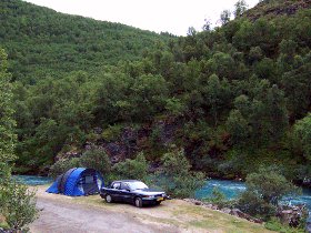
Hiking to Snohetta (Dovrefjell) - Camping near a river Again the night is rather cold here in the inlands of Norway. We drive to Otta and by Myuseter to Rondvassbu. The last bit we walk through the nationalpark Rondane. It's a totally different area as Dovrefjell; more rolling and lovely. Low bushes and moss sparsely cover the surface. we drive on in the direction of Jotunheimen and in Leirdalen we find a known (1998) campingplace. 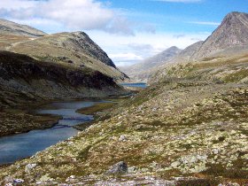
Walking through Rondane - Camping near a river in Leirdalen It started to rain during the night and today is cloudy. We visit Jotunheimen; the house of the giants. In this area are the highest mountains of Norway; the Galdhopiggen and Glittertint are both almost 2500 meters high. We drive the roads at Visdalen and Galdhopiggen. We arrive at a summer-ski-area and a group of kids just descends the glacier. 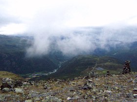
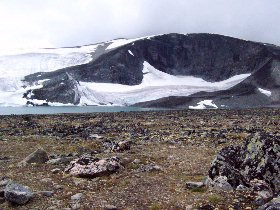
View from Galdhopigveggen (Jotunheimen) - Glacier (summer-ski-area) Up near the Tesse lake we find a campingplace. Just when we finished putting down our tent, it starts to rain and late in the evening it starts to become very foggy. Tueasday 17 august we drive to Glitterheim. The last part we walk. It is a beautifull area and we see many Reindeer. 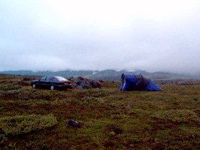
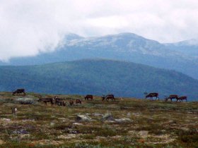
Foggy campingplace at Tesse - Reindeer near Glitterheim We drive further south over the 51 and continue the Slettefjell road, where one has a nice view over the surrounding. Unfortunately, this area is laregly affected by tourism. Near the E16 we find a campingplace at a lake. Wednesday we drive on by Gol to the Hardanger Vidda. This nationalpark is the largest wasteland of Europe. At the endless extend only little bushes, heath, reindeer moss and at most a view little birch trees grow. 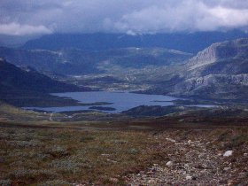
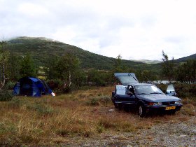
View at Slettefjell - Camping near a little lake We drive the road at Tuvaseter and see the bald extended landscape with some lakes. Subsequently, we drive road 40 further and see that this area is largely affected by wintersports. We take a side road along Sonstvatn and the Tessungsdalen. We find again a great campingplace just next to a wild river. 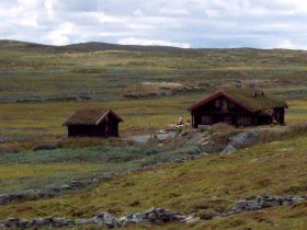
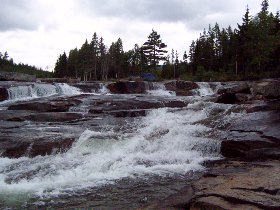
Tuvaseter (Hardangervidda) - Camping next to a wild river Thursday morning it rains a lot, but in the afternoon we can finally go on in the direction of Oslo. We take the tunnel at Drobak and continue the E6 to Sweden, where we find a campingplace before Göteborg. Friday we make a long trip of about 1300 km back home. In Sweden and Denmark we have sun, but in Germany it rains a lot. When we arrive at eight in the evening in The Netherlands it is dry. We had another splendid holliday.  |