
October 1997
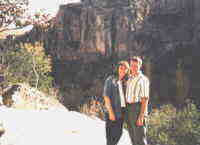 Ihlara Valley 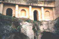 Closeup of Above 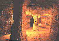 Underground City 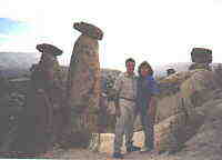 Near the Fairy Chimneys 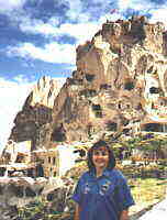 Debi near Goreme 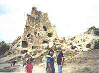 "Homes" near Urgup 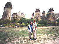 Bob and Debi 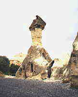 Closeup of a Fairy Chimney 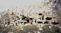 Homes carved in a Hillside 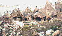 Another view 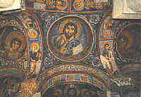 Frescoes in a Stone Church 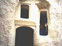 Ya'll come back now! |
Cappadocia, known as Katpatuka by the Assyrians, is a massive isolated table land, subject to extreme temperatures.It is located in the central plains of modern Turkey. This area was famed for its horses, mules and sheep. Extending from Galatia in the north to the Taurus Mountains in the south, this area was part of the Persian kingdom. It prospered under the rule of Arlarathes V Eusebes Philopator from 163 to 130 B.C. Later in his rule he transferred his allegiance to the Romans. After his death, his widow Nysa murdered her five sons to keep the rule in her hands. The Pontic kings and later the Romans intervened until Cappadocia was incorporated into the Roman Empire in A.D. 17. Today Cappadocia is designated by a triangle formed by the cities of Kayseri, Nevsehir, and Nigde. Anciently, frequent eruptions of the two volcanos, Erciyes and Hasan Dag covered considerable parts of this triangle with tuff, a thick layer of mud, and ashes. Over this tuff, lava spread at various stages of hardening. Erosion by rain, snow, and wind created "fairy chimneys", surrealistic shapes of cones, needles, pillars and pyramids, often topped by an ingeniously balanced slab. Earthquakes and settling of the land created valleys. Rivers no longer in existence slashed rifts into the fragile tuff. In addition to the varying effects of erosion on the exposed rocks, oxidation added an incredible range of colors. From the off-white of Goreme through shades of yellow, pink, red and russet, to the violet-gray of Ihlara. These spell-binding formations have sheltered the persecuted for centuries. These refugees found that the rock was easily carved into. They literally carved homes, businesses and churches into the rock. After being carved out and exposed to open air, the rock hardened. These unique structures served as homes for many peoples throughout the centuries. However, it has recently been revealed that they are more dangerous to their inhabitants than their even most ruthless enemy. For generations, villagers at Karain have suffered painful deaths, known throughout the area as the Karain Agony. This has finally been diagnosed as a cancer epidemic, caused by the pale yellow rock. Karain and a similarly affected village nearby have been declared natural disaster areas and the villagers have been evacuated. To these villagers, this is a fate which seems as evil as the disease. Despite the dangers, a few villages carved from the rocks are still inhabited today.
The TourOn the first day of our tour we stopped in Usak and visited the fascinating, Usak Museum. This small museum houses some fantistic treasures from the ancient kingdoms in the area. We then drove on to Afyon and tried some of the best Lokum (Turkish Delight) we have ever tasted. Then on to Konya for the first night. On the second day we visited the Mevlana, Green Mosque, and Karalay Monastery. After departing Konya we stopped at Aksaray for lunch. We then visited the Ihlara Valley, Sultanhisar, and Derinkuyu (Underground City) on the way to Urgup.
On the third day we departed Urgup for Goreme to visit the Stone Churches. Then we
continued towards Zelve where we visited Ortahisar and Uchisar. |