The experience of a lifetime.
This turned out to be the most spectacular of our trips in my opinion. It was different to anything we had expected and we saw really fabulous scenery. Naturally we had to drive across Canada or the U.S. to get to California. Having Terry and his family living in Vancouver gave us a place to head to. There are quite a few sights to see on the way across Canada. One of them is the Goose at Wawa, built of Algoma steel to commemorate the linking up of that section of the Trans Canada Highway when it was constructed.

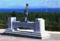
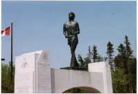
Another landmark is the Terry Fox Memorial at Thunder Bay. The first time we saw it the memorial was on the south (lake) side of the highway. After a few years it was moved across the highway and a memorial garden was added.
Some people think it is boring to drive across the Canadian prairies but Eva and I enjoy the open feeling after being penned in by trees in Ontario. We always spend a few days with Eva's sister Berniece and her husband Tony on our way west.

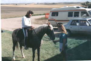
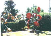
Outside one of the local towns we found a farmyard which the owner had filled with huge flowers which he made out of steel. It was such an unusual sight out there in the middle of the prairies.

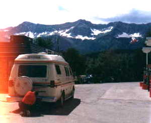
Most people think that when you cross the Rocky Mountains it is just a case of crossing one mountain range, but in actual fact there are at least three ranges to cross. We have crossed by most of the different routes. The southern most route by way of the Crow's Nest Pass is the biggest challenge. Some of the grades seem never ending. They go up and up for miles and are so steep that our van usually has a struggle to get up them and the engine usually overheats. Fortunately there are places to pull off the highway to let the engine cool down.
We took the coastal highway all the way to California. In Oregon we took a side trip up a Mountain to see The Oregon Caves. While touring the caves we had to duck a few times to avoid overhanging rock. Our guide who was leading the way kept calling out "Low Bridge" and told us to pass the message back.
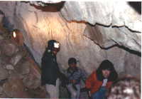

....................In the caves.......................................Driving through the redwood forests.
Carrying on down the Oregon coast we drove through some forests of giant redwood trees. At one point we left the van and walked into the forest to get a feel for it. It was eerie and quiet.
Farther south we came upon a preserved park entitled Trees of Mystery. At the entrance to the park was a huge statue of Paul Bunyon and his ox. The entrance to the park was through a tunnel formed by a hollow tree on it's side. There was one tree with thirteen other trees
growimg on it. The seeds must have fallen on the moss-covered branches and taken root.
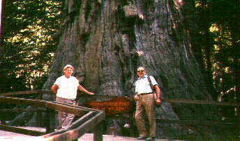
One of the trees in the park was huge and had a platform built around it. It had a sign on it calling it The Brotherhood Tree.
As we drove on down the coastal highway Eva was getting very concerned because there was no shoulder on the road. The road dropped away to the ocean from the white line at the edge of the highway. Eventually Eva vacated her seat in the front and sat in the seat behind me to get farther away from the edge of the road.
By this time we had reached San Francisco and stopped to take a look at the Golden Gate Bridge.

I didn't think we would ever see the Golden Gate Bridge, much less drive across it. We took a tour of the city and were driven around in a mini bus with some other tourists. We crossed and
recrossed the bridge again. Our driver was a German lady and she sure could handle that bus up and down those hills in San Francisco.
We were impressed with the 'Bart' which is what the subway system is called. It seemed very clean and efficient.
When we continued our journey down the coast we took what is known as the 'Seventeen Mile Drive' to Carmel. It was a very pretty drive along the coast with lots of wild-life to see.

We stopped to take a look at this tree and I took this picture. It seemed such an unusual tree sitting out there on that rocky windswept peninsular. At the time we didn't realize how famous it was. We read an article about it in a Toronto newspaper later and have since come across a picture of it on an address label.
We stopped off in Salinas and had the van lubricated and the oil changed and bought four new tyres. From this point we turned inland and headed for Las Vegas.
We had found it quite cool as we travelled down the coast because of the cool breezes from the oceon but as we travelled inland it got warmer and warmer.
Finally as we neared Las Vegas the temperature climbed to 114 degrees farenheit. We were driving up a long grade for eleven miles and the temperature guage on the van was climbing higher and higher. Finally we pulled over to cool the engine down but the air temperature was so hot that it didn't help too much. We got back on the road and passed a sign suggesting that we turn off the airconditioning to prevent the engine from overheating. Well we didn't have air- conditioning so we had to turn on the heater and open every window. At least now the guage stopped climbing and we made it to the top of the hill.
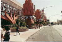
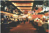
Las Vegas turned out to be a really glitsy place. I took some pictures of 'the strip'. Here is a sample.


While in Las Vegas we took a trip to see the Hoover Dam. It was an impressive sight but it was hard to get back far enough to get good pictures so we didn't take any.
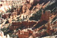
We continued our travels by visiting the Red Canyon, Zion Canyon and Bryce Canyon in Utah. The scenery was breathtaking. The soil and the rocks were red. The whole state of Utah is a tourist's paradise. Every turn on the highway brought another fantastic vista of red rocks and mountains and valleys. Here are a few pictures to give you an idea of what I mean.
We stopped to have lunch beside a huge rock that made our van look like a dinky toy.
We had really enjoyed our trip around Utah. It is such a beautiful state.We were drinking in the scenery as each new vista opened up with each bend in the road.
At one of the viewing spots called 'The Abyss' we were told that this area of the canyon was three thousand feet deep.
We decided not to take John's advice about the helicopter ride. Instead we opted for a ride over the canyon in a twin engined plane.
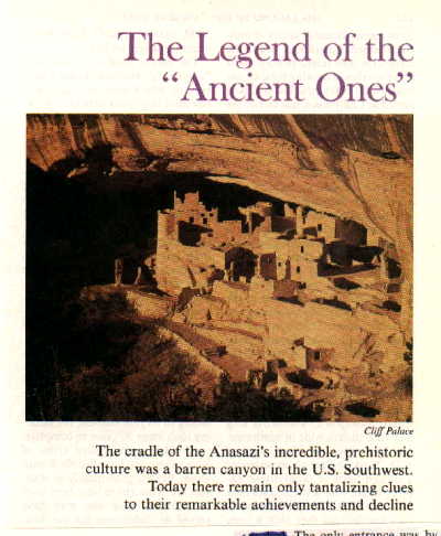
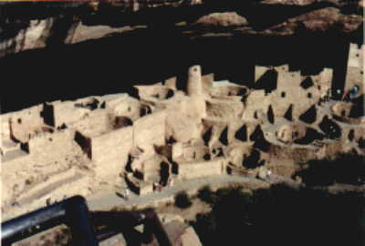
After leaving the Grand Canyon we were driving along the highway and saw a huge flat topped mountain in front of us. It looked far too steep for any car to drive up it. However when we got closer we learned that it was called Mesa Verde and there was a road leading up it. Always curious we decided to give it a go. The road wound round and round the mountain and up and up. It seemed to go on for ever. Finally when we got to the top we discovered that there were viewing spots at intervals along the highway and we found that the reason was a series of prehistoric buildings dating back to 700 BC. They were the homes of a prehistoric culture called The Cliff Dwellers. They built their homes inside caves which I thought was very smart of them because they needed no roofs on their houses.
Here are some of the homes that we saw.
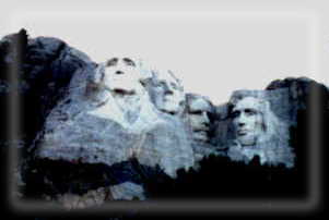
We had always wanted to see the presidents' heads carved into the mountains so we headed for Rapid City next.
From our campground we were able to see the presidents' heads after dark with the coloured flood lights on which was a plus because we had already been to the viewing area and got a fairly closeup look at them and took some photos.
 .......

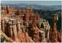
Red Canyon............................................Bryce Canyon.

The next thing that we saw on our tour was Monument Valley. I had always wanted to see it ever since I saw those awesome rocks in the cowboy films I saw as a kid. The Valley is on Navajo Indian land and the road down into the valley was really treacherous. Considering that the Indians were levying a charge to see the monuments one would have thought that they would have scraped a bulldozer blade over the road. Instead they just erected a sign that read 'USE AT YOUR OWN RISK'. The ride down was pretty hair raising but when we saw the monuments we figured it was well worth it. Here are some pictures we took:
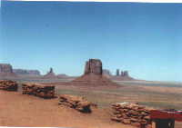
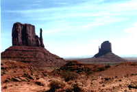
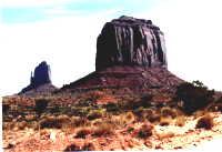

We thought the ride down into Monument Valley had been pretty hair raising but it was nothing compared to the climb back up. The van was bouncing around like a wild thing as we negotiated the huge pot holes and the wheels were spinning on the loose gravel. To make things even more interesting some idiot came down the hill on the wrong side of the road, forcing us to drive perilously close to the edge of the road which dropped off into the valley.
The next stop on our tour was the 'Four Corners'. This is the one spot in the U.S. where four states intersect. I took a picture of the marker where you can walk from one state to the next, covering all four states. You can step from Arizona into New Mexico, into Colorado, into Utah.
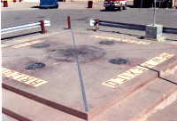
Anyway, the time came to move on and we headed for the Grand Canyon. Our son John told us that we simply had to take a helicopter ride over the canyon but we were not so sure.
Cars are not allowed along the rim of the Canyon; instead there is a free bus service that stops at all the interesting viewing spots. You can leave the bus and pick up another one when you are ready to move on to the next spot.
Below is a collection of pictures that we took at the Grand Canyon.
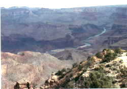
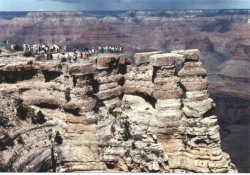
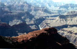
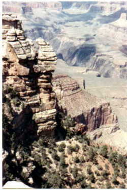
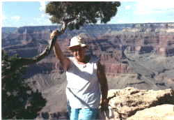


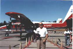
These last two pictures should convince you that we really did fly over the canyon.

From here we started the long trip home. We headed North towards Denver, Colorado and as we were travelling through the mountains we dropped down into the town of Silverton. It was a typical western town but with some interesting things to see. We saw a store with the front completely encased in cast iron.
There was a narrow guage railway that terminated in this town. Some of the stores had some interesting inscriptions on them. As we were browsing around we were approached by a couple that said they had been following us around town because they were interested in our van. They told us that they wanted to buy one and asked us all kinds of questions. They were thrilled when we invited them into the van to view the inside.


From Mount Rushmore we decided it was time to head home and we headed North to pick up the Trans Canada Highway.
As we were crossing the prairies we saw a sign telling us that we should visit 'Wall Drugs'. A few miles down the highway was another sign saying that we really should visit Wall Drugs and take advantage of the free coffee. There was yet another sign and another every few miles. Finally we saw a sign pointing off the highway to the town of Wall.
What a gimmick! Everyone was turning into Wall to see what was going on. It turned out to be a street of souvenier stores all interconnected so that you could go from store to store without going out onto the street. We browsed around but didn't buy anything. After a couple of hours we continued our journey home.