|
Arroyo Sarandi, Floresta, Canelones, Uruguay
November 30, 2006

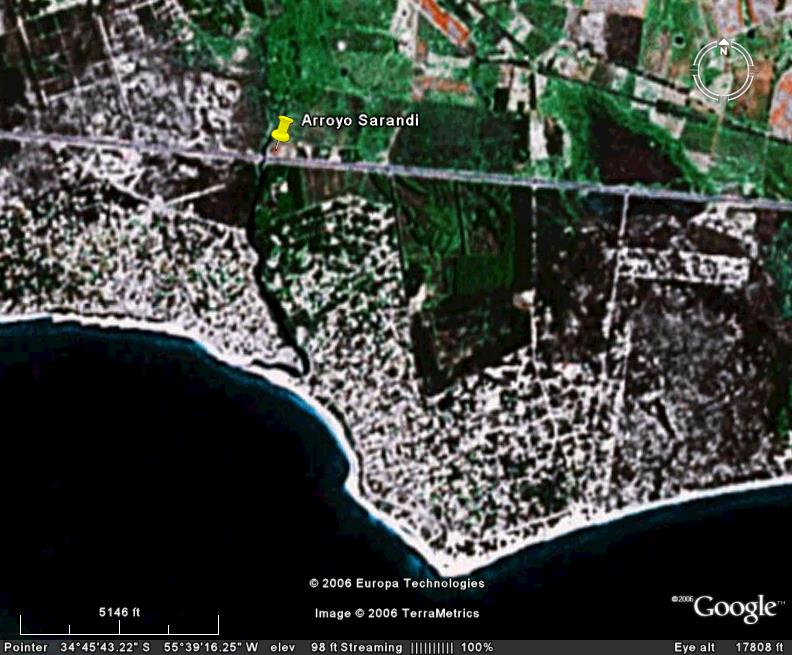
Google Earth image of Arroyo Sarandi at 18,000 ft. eye elevation.
The stream crosses the highway less than a mile from from the beach/La Plata delta. It is about 50 Km from Montevideo.

GPS Coordinates: South 34 degrees 45.003' West 055 degrees 40.001'. Elevation: 31'.
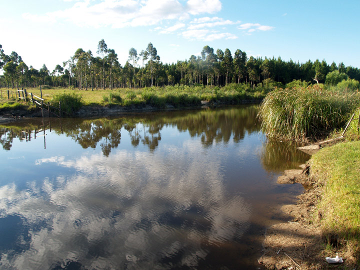
Roadside stream on highway from Montevideo to the resort town of Punta del Este.

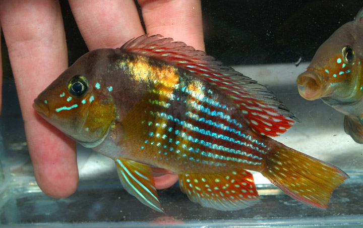
This highly colorful Gymno species is very similar to Gymno sp. Norte found 600 Km to the north in the Rio Arapey drainage. If they are the same species, there is no explanation at this time for the 600 Km gap in distribution. I am not ruling out introduction by humans as a possible option. Besides Arroyo Sarandi, this fish is also found in the well-to-do Montevideo suburb of Pinar.

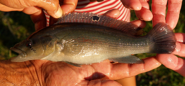
Crenicichla scotti female
Fish species found in Arroyo Sarandi:
- Gymnogeophagus sp. Sarandi (similar to Gym. sp. Norte, but there appears to be a 500 km gap in distribution between the two species)
- Southern Kingfish (Odontesthes argentinensis)
- Oligosarchus cf. jenynsii
- Astyanax sp. Blue
- Crenicichla scotti
- Jenynsia cf. lineata
|

