The map to the right depicts the geographical
location of Okinawa on the world map. As you can see, Okinawa is
south of mainland
Japan. Taiwan is to the southwest.
|
 
Geographic Area of Okinawa - SIZE 113K |
 
Okinawa Area Main Map - Size 56K |
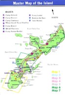
The master map to the left shows the location
of each of the main military camps on Okinawa. Each section marked
with a star is linked to a more detailed map.
|
|
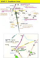
The map to the right depicts the capital of
Okinawa, Naha City. It has been estimated that the property values
in the center of Naha is some of the most expensive in the world and is
sold by the meter. Naha airport is in the top left corner.
|
 
Okinawa Area Map #1 - Size 87K |
 
Okinawa Area Map #2 - SIZE 126K |
The map to the left shows Marine Corps camps
with population and dependent numbers.
|
|
This map shows Camp Lester, home of the main
military hospital on Okinawa. The camp is centrally located and surrounded
by many interesting sites.
|
 
Okinawa Area Map #3 - SIZE 132K |
 
Okinawa Area Map #4 - SIZE 144K |
The map to the left shows the rear gate of
Kadena, Gate 2. A traditional place to shop for everything from clothing
to china as well as general Okinawan souvenirs. Gate 2 street is a must
visit spot.
|
|
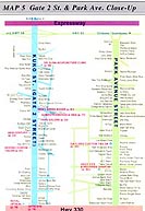
The map on the right is a detailed look at
Gate 2 street and Chuo Park Avenue. Both streets have many shops
to choose from. A word of caution: shop around before you buy, the
stores are competitive.
|
 
Okinawa Area Map #5 - SIZE 132K |
 
Okinawa Area Map #6/7 - SIZE 124K |
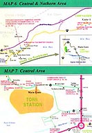
The two maps to the left are Camp Hansen and
Kin Town and Torii Station, the U.S. Army base. Torii station has a very
nice family beach.
|


