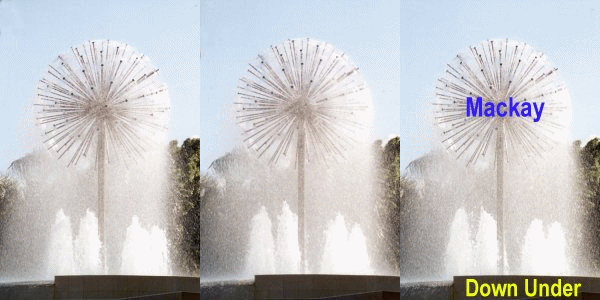

in tropical Queensland
Mackay is on the east coast of Queensland, Australia, at about 21º 9' S, 149º 11'E.
It lies on the narrow coastal plane bounded by The Great Dividing Range that sweeps the entire east coast, and the Great Barrier Reef that runs along the coast of Queensland. Current population is about 60,000, taking in the city and suburbs.
Mackay is a gateway to the Great Barrier Reef.
The City Centre is close to the mouth of the Pioneer River that also divides the city. It is one of the few blue water rivers in Australia. Nearby are long, sandy beaches where tides reach a maximum of about seven metres (22 ft). At some of the beaches, at low tide. the water goes out more than a kilometre (5/8 mile).
Mackay has a tropical climate. Temperatures range from around 10-12ºC in the winter months (June-August) to 33-34ºC from November through April. We are at the lower excursion of monsoonal "wet" seasons that descend on northern Australia in the summer months. Summer brings high humidity and some discomfort, but relief can usually be found in air-conditioned offices, homes, vehicles and shopping centres. Winter months are very mild with occasional frosts.
Sugar-cane, beef and grain are exported through the Port of Mackay. This is a man-made harbour, constructed in the late 1930s, where a marina was recently completed and luxurious apartments are under construction.
About 30 km (20 miles) to the south is the world's largest coal export port comprised of Hay Point and Dalrymple Bay. It services a number of hinterland coal mines ... trench mines Goonyella, Peak Downs ... Blair Athol open cut mine, and North Goonyella underground mine. The coal is hauled by multi-engined electric trains.
The Pioneer River and its tributaries flow through the picturescue Pioneer Valley, some 70 km (40 miles) in length. Sugar-cane is the predominant industry in the valley. At the head of the valley is Eungella Range (pronounced Young-ga-la) with its tropical rain-forest. Wild, scrub turkeys scavenge vegetation on the forest floor to build large nests to incubate their eggs in or on the edge of rainforsest. Platypus can be seen in Broken River that flows inland, and to the north. The Broken River dam has been stocked for recreational fishing. At about 700 metres (2,200 feet) Mt. Dalrymple is one of Queensland's highest peaks. it has one of the highest rainfalls in the state. On an adjacent peak is a radar installation used for Air Traffic Control and weather monitoring.