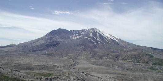

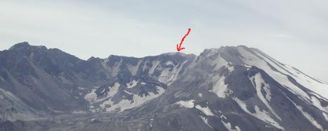
| My ascent was on the opposite side where this picture was taken (ascended on south side), a red arrow marks the point where I reached the summit. |
|
|
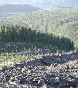
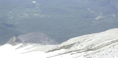
I began the ascent at 5:45AM, 3,700 ft, with a hike throught the woods until I broke out of the trees at 5,500 ft. (photo shows a look down at the treeline from 6,000 ft). |
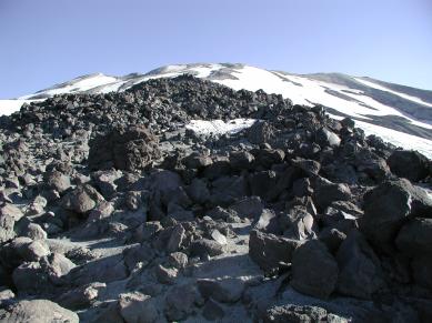
| Looking up at the mountain from 6,000 ft, the climb from this point up to 8,100 ft cosisted of jumping from one pyroclastic boulder to the next. |
|
|
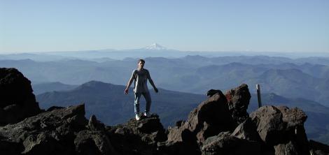
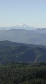
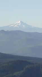
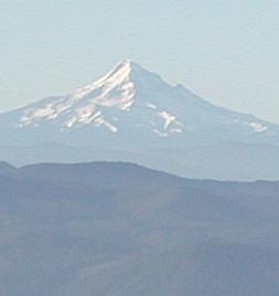
Picture of me taken at 6,500 ft with Mt. Hood shown above my head in the background. |
|
|
|
|
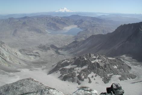
After reaching the summit (8,364 ft) you can look down into the crater. The mountain has already begun to grow, as seen by the cinder-cone (mound) at the center of the crater. |
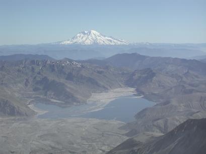
| Mt. Rainier (14,410 ft) in distance. Since the devastation, Spirit Lake still has about 1/4 of it's surface covered by floating tree trunks. |
|
|
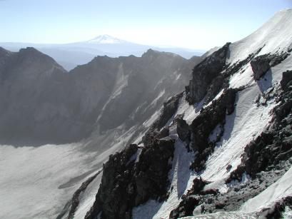
Picture of crater rim with Mt. Adams in background. |
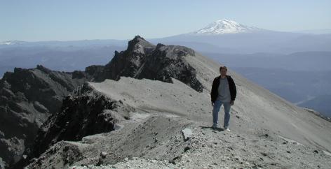
| Picture of me as reference to the size of the crater rim. |
|
|
Shot of the rocky ridge that I ascended to reach the summit (snow to the left). |