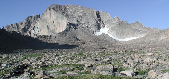

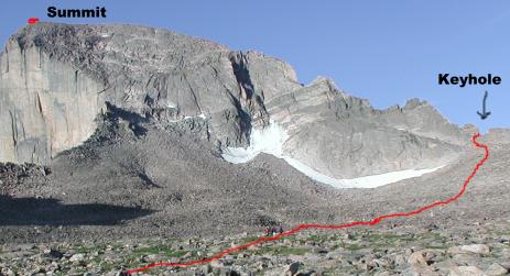
| Ascent route is marked with the red line. Climbers hike through a pile of boulders then cut through a gap in the mountain ridge (Keyhole) then continue climbing on the other side of the mountain to the summit. |
|
|
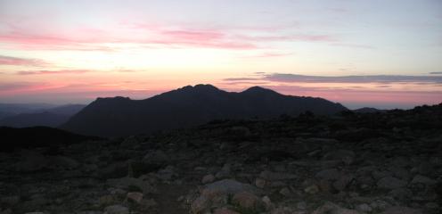
When climbing in the Rockies, you must start early to avoid the consistent late day hail and lightning strikes. I started the climb at 3:50 AM at an altitude of 9,400 ft. |
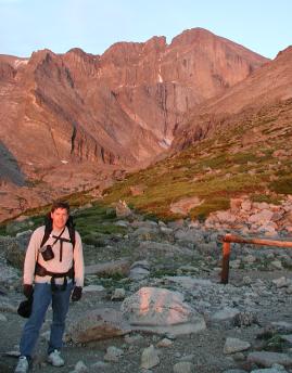
| First good view of Longs comes at 11,600 ft, in roughly 5 hours I should be at the summit. The mountain "Lady Washington", at right, blocks most of Longs Peak. |
|
|
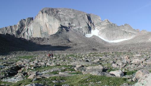
After hiking around the 13,000 ft mountain "Lady Washington" I gained a better view of the Longs and where I needed to go. |
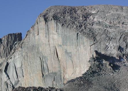
| The shear face of Longs is over 1,300 ft. |
|
|
|
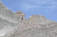
The Keyhole in the mountain is the "Key" to getting to the other side and summiting. |
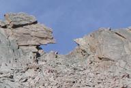
|
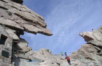
|
| At the keyhole, looking back at the boulderfield shows the expansiveness of the rubble. The average size of each boulder is about 4' x 4'. For 3/4 mile climbers hop from boulder to boulder. |
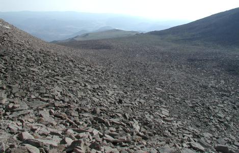
|
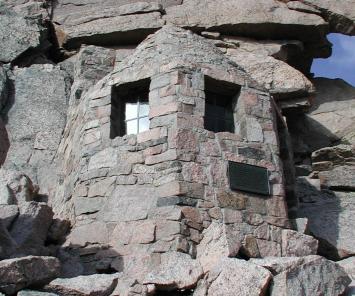
|
A stone hut located next to the Keyhole, built in memory of two climbers who died of exposure. |
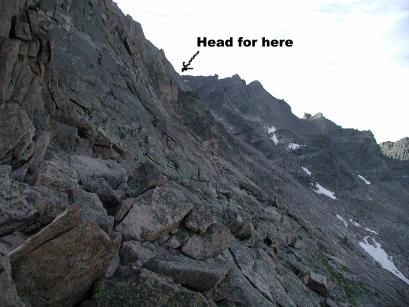
| Picture of route on other side of Keyhole. After a 1/4 mile traverse, we climb about 800 ft up through the "Trough" to the point marked "Head for here" where we round the corner to the narrows. |
|
|
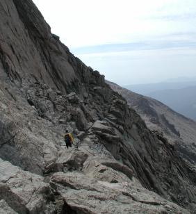
The Narrows is a narrow ledge with an extreme dropoff that you have to traverse to get to the final ascent point. |
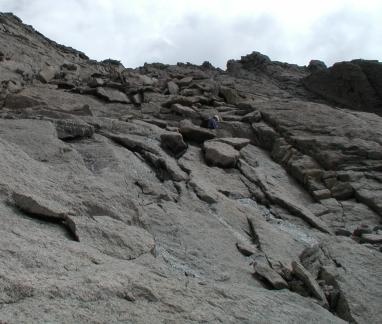
| Final section is a low level rock climb to the summit. |
|
|
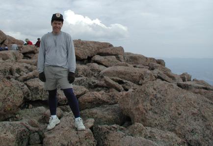
The summit of Longs is a wide area of boulders. I summited at 10:45 AM. |
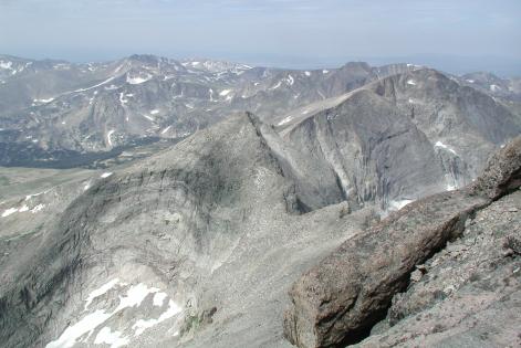
| Picture taken from summit looking north at the Rocky Mountain continental divide. |
|
|
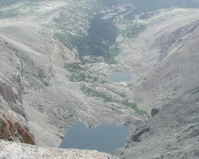
Picture from summit shows Chasm Lake at bottom with trail that approaches at top left. |