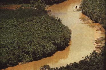
Photo by Geraldo Ramos


The Northern region of Brazil, where the Amazon river is located, occupies 45%
of the country's total area. It comprises seven States: Acre, Amapá, Amazonas, Pará
(where Belém is located), Rondônia, Roraima and Tocantins - with a total population
of ten million. The overall climate is equatorial, with high temperatures and
humidity. Contrary to general belief, it does not contain homogeneous landscape.
Basically, there are two different altitude levels in the region which determine
the kind of vegetation it will contain: the flood-prone plains or wetlands;
the plains which are flooded only occasionally when there are great floods;
and the areas out or water reach, the low plains.
Geographically speaking, in addition to Brazil, the Amazon also includes parts
of Bolivia, Peru, Ecuador, Colombia, Venezuela, Surinam and French Guiana - all
of which (except for Ecuador) along the Brazilian border.
The rivers of the region account for the pace of local life. They embody the earth's
largest drained liquid surface, holding at least 20% of the potable water on our
planet. In the Amazon basin alone, there are 23,000 kilometers of navigable
rivers. The rivers bring the world to remote villages and carry the agricultural
production of the region to the outside world. Many of the inhabitants in the
more remote localities get part of their food out of them.
Excerpt from Panrotas Suplementos Brasileiros magazine, November 1994
English version.

Peace to the planet. Good-will between men. Courage to re-think our development models and start the environmental education home!
 Back to my Home Page