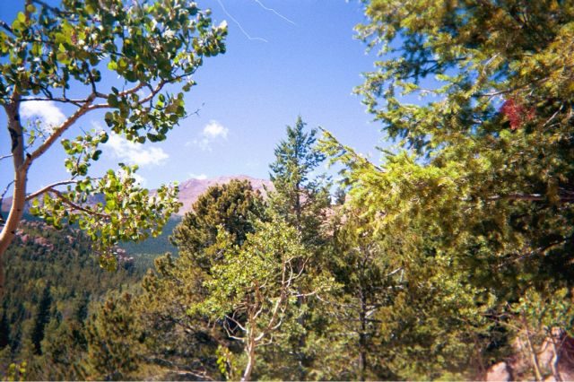
View of Pike's Peak from 8 miles away
1999 Pike's Peak Hiking Trip Photos

View of Pike's Peak from 8 miles away
Denver, Colorado, 9/9/99

Denver International Airport Terminal
The story begins Thursday, September 9, 1999, as I arrive at the Denver International Airport (DIA) for a business meeting the next day. My return flight was set for Saturday, September 11, 1999. While at the hotel, Thursday night, flipping through postcards at the gift shop, I noticed a Pike's Peak postcard. I asked the lady at the hotel if it is nearby. "About 1-1/2 - 2 hours away" she responded "by Colorado Springs". Well, I figured, why not? lets hike up the peak.
The next day, upon the conclusion of a successful business meeting, I informed my surprised business associates of my plans for Saturday. One of the Denver-based individuals I met that day provided some helpful advice about "14-footer" hiking. The key rules are to start early, be properly hydrated, and avoid being caught in the clear during a thunderstorm. After the meeting I went to a local sporting goods store and got the various gears I would need. Given the spontaneous nature of the decision to hike, I had zero gear. (It wouldn't have been the best idea to hike in a suit, tie, business shoes, and with a laptop across my shoulders). As a little game for myself, I set a $100 budget limit for the expedition gear. In actuality, I spent $120, but I did get some very good equipment. I got:
It turned out that I carried with me a lot more weight than I needed to. In the end, I carried down more than half the water I took with me up.
So, what does the DIA photo signify?, you might ask. Well, the logo of the advertising board I saw at DIA is for some software consulting company; it bears remarkable resemblance to the "All Seeing Pyramid" logo of the game Illuminati (by Steve Jackson games) that I got the prior week at a gaming convention. So, I took a picture!
Getting Ready to start
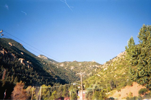
The view up from Manitou Spring
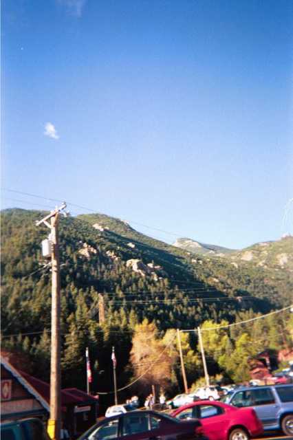
The train station's parking lot in Manitou Spring
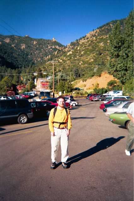
Dan in the Manitou Spring parking lot

The Pike's Peak Train (I did not take the train)
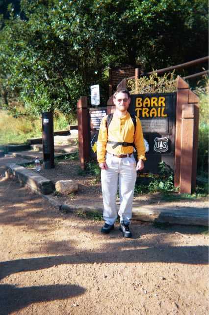
Mile 0: Dan at the Start of the Barr Trail Gate -- 14 miles to the Peak
On Saturday, September 11, 1999, the day of the hike, I got up at 5AM. I got everything ready, ate breakfast, checked out of the hotel, and left for Pike's Peak around 6:30AM. I arrived at Manitou Spring, the starting point of the Barr Trail, around 8:45AM, and set off to start the hike (I lost about 30 minutes finding the starting place and parking). The signs stated that the 14 miles trail to the top takes 8 hours at a 'brisk pace'. My return flight to San Diego departs at 9PM. A little backward arithmetic figure that I need to leave Manitou Spring around 6PM to drive 2 hours to DIA, return the car, and check in at the required 30 minutes prior to departure. The drive from the peak back down to the base takes about 1 hour. If I hike all the way up in 8 hours, I'll have 15 minutes to find someone willing to give me a ride down (the signs warn not to count on hitching a ride, but hikers say that there is always someone willing to give a ride down). I decided to leave it up for a decision later. Assuming I can go down twice as fast as up, I should spend the first 7 hours of the ~10 hours hike going up, and then 3 hours going down. 3PM will thus become the decision point. If at that time I am close enough to the top, I'll just continue and try to hitch a ride. Otherwise I'll turn down.
At the bottom of the trail I met a group of people sitting by the gate. They told me that they were part of a fundraising race that was taking place that day. The race was to raise money for brain injury research. They told me that most participants left between 5AM and 6AM. They were just there to register who went up.
I was ready to go, but there was only one little problem. I'm totally out of shape. I only walked a 1/4 of a mile so far -- from the parking lot to the trail entrance -- and I was already out of breath and with sore muscles. This was not a good sign. However, I remembered that with all my prior expeditions, the first 2 miles are really tough -- until I reach the "plateau". Still, it felt like there is no way I can make it. Well, I figured, I'll get started. If I only go 1 mile and turn back, at least I tried! I'll then take the train up.
Starting Up
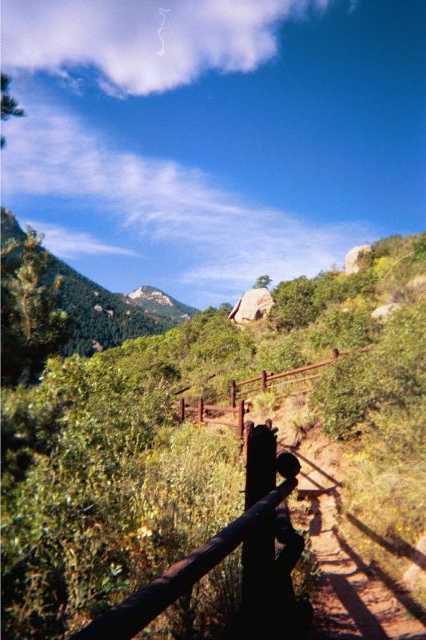
Mile 0.25: The trail in the lower section
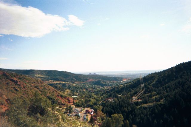
Mile 0.25: The view back down to Manitou Spring
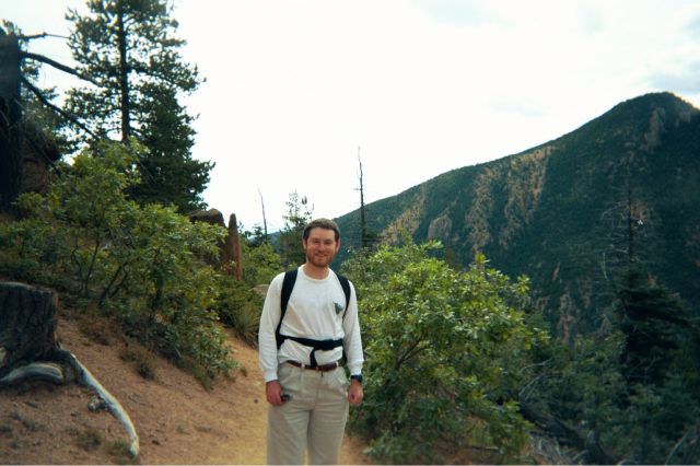
Mile 1: The start of the trail traversed hills like this one
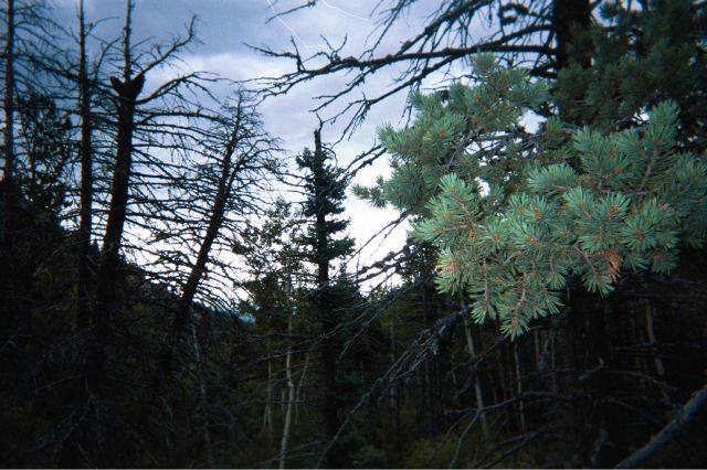
Mile 3: The trail became forested
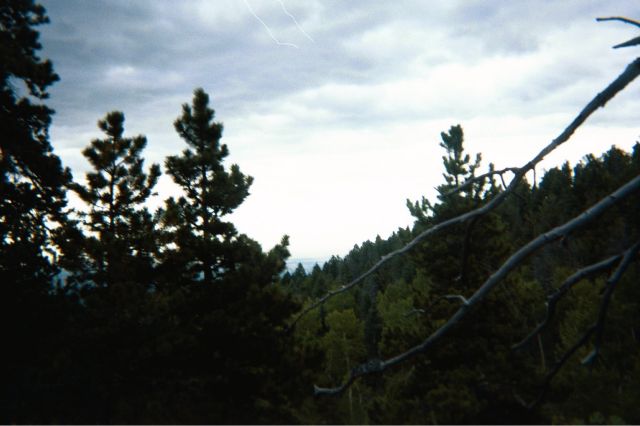
Mile 3.5: More trees
The start of the trail was indeed rough. The first 3 miles are in a steep trail going through many switchbacks. My feet were hurting, I was out of breath, and in general I figured that even the 1-mile objective might be overly ambitious. I found myself taking breaks very often. I decided to count steps -- allowing myself a short stopping break every 1000 steps (this was the pace I used when hiking up the Grand Canyon). What a joke that turned out to be. After 20 steps I changed my target to a mere 30 steps. Other hikers were passing me by one by one. Even some senior citizen hikers were asking me (very nicely) to let them pass. Nonetheless, I convinced myself that after a while everything would get better. The brochure said that the first 3-1/2 miles are steep tough, and that the subsequent 4 miles are on a flat mesa and a lot easier. I decided that when I reach the 3-1/2 mile mark I'd turn around. This will still give me time to take the train up to the peak. A 7-miles (round-trip) hike is still respectable.
Should I turn around in face of rain?
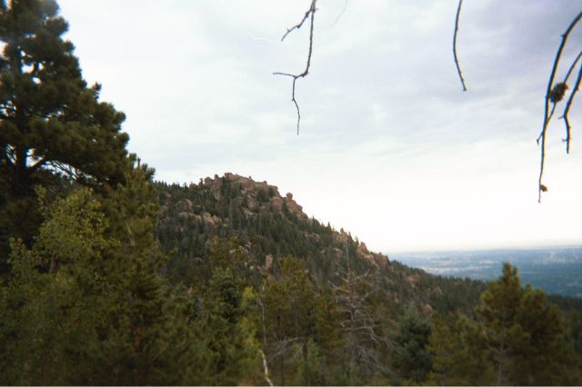
Mile 4: The view back to the plains as it starts raining
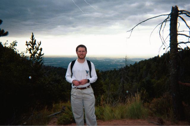
Mile 4.25: Dan in the rain, considering turning back
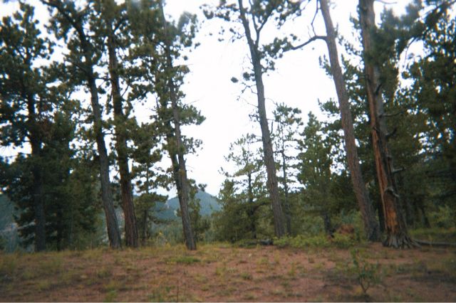
Mile 4.5: The rained-in trail
I was still in pain as I crossed the sign signifying the 3.5 miles mark - one quarter of the way to the top. According to the brochure, the trail is supposed to get easier here. It was no less steep. The only difference was that now the terrain was forested. I figured that the flat section promised by the brochure would start "any minute" now. I should continue until I reach it and then decide if I am in shape to continue on. Around mile 4, it started raining. At first, the rain was a light sprinkle, and minutes later it turned into a heavy downpour. Two hikers, with a heavy camping gear backpacks passed by. They suggested I turn back if I do not have "serious" rain gear. They pointed out that the rainstorm could easily turn into large hail, and that for the next several miles there is no shelter from hail. They said that if I do continue, I should make a mental note of where there are large boulders and in case of hail go back to them and hide under until the storm pass. The only "good news" is that storms pass quickly, usually within 30 minutes, sometimes after 5 minutes. Mountain storms simply "slide off"; they can't stay in the same place for long.
This looked like perfect timing. I made it 4 miles up, I hit bad weather, it was too dangerous to continue, so I had to turn back. It's not a mission failure, or a stamina that didn't hold up; I just made the safe decision in the face of legitimately bad weather. The backpackers praised my decision to turn back, and happily took a picture of me against the rainy view of plains below (see the photo at 4.25 miles, above). They then continued up the mountain (with their heavy backpack and complete raingear). Ready to turn back, I put on the green sweatshirt and bright orange hat. Suddenly, I was warm and comfortable again. I decided to push on a bit farther. If the rain passes, great, if it turns worst; I'll turn back then. A short while later I passed the backpackers (with their heavy load, they were among only a few hikers that were moving even slower than I did) who nodded in mild disapproval that I decided to continue. About 15 minutes later the storm tapered off and then disappeared.
First glimpses of Pike's Peak
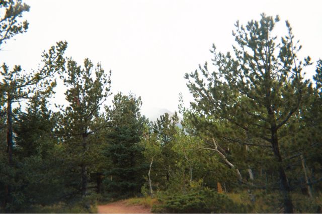
Mile 5: The Peak as viewed through rain and fog
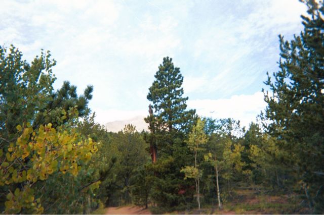
Mile 5.5: The Peak is getting clearer once above most clouds

Mile 6: Above the clouds, the rain is over, the sun is out, and the peak is sharply visible
Walking my way through the rainstorm, I didn't notice at exactly what point did the pain disappear, or when did the trail start becoming, indeed, easier. However, when the rain tapered off, and I happily observed that - close as I came to turning around - I persevered through this tempting out, I suddenly realized that I am feeling just great. At long last, I reached my "plateau". I should now be able to continue for hours without many difficulties. I started really having fun with the hike. At this point I started chatting with other hikers. Occasionally, even, it would be me passing slower climbers instead of the other way around. I would sometimes count 1500 steps before I felt I needed a break.
Chatting with downward-headed hikers, I learned that I was lucky to have suffered just a rainstorm. Most of the fundraising racers who left several hours before me were several thousand feet above me when I was hit by the rain. At their altitude, the colder air, lower pressure, and more exposure to high altitude winds meant that the same storm that soaked me with rain was hitting the racers with large sharp hail driven by a strong wind. Fortunately, most of the racers were a bit short of, exactly at, or just past Barr Camp (the halfway point, see below). Most of them just went to the shelter of the camp and waited for the storm to pass. When it did pass, many of the hikers decided that they have had enough for one day and turned back down. For the next several hours, I would regularly pass by downward-headed refugees from the hailstorm.
As I kept gaining altitude, I begun piercing the clouds that spun the earlier rain. The peak began peeking through the clouds. Eventually, at mile 6, above all the clouds and only the thin, clean, mountain air between the peak and myself a very spectacular view of the peak revealed itself. The view was so sharp that it was possible to clearly see - from 8 miles away - the small wooden lodge at the top of the peak (unfortunately, the resolution of the photo is insufficient to see the lodge).
Barr Camp, the halfway point
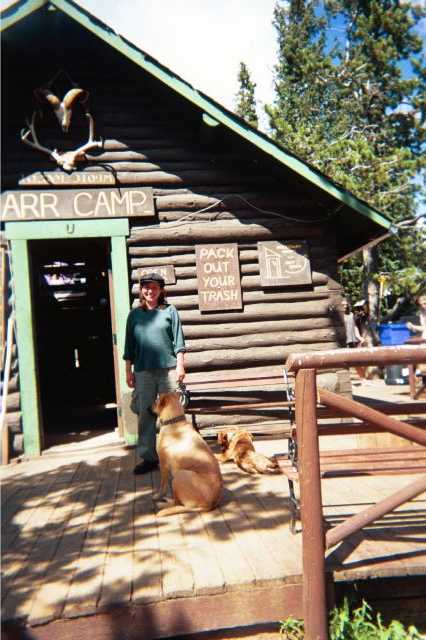
Mile 8: The woman working at Barr Camp
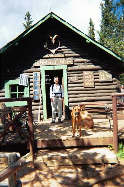
Mile 8: Dan at Barr Camp
Mile 9: Waterfall and spring, obscured by trees
At last, I reached Barr Camp, the halfway point. Actually, it's a little past the halfway point - at the 8-mile point of a 14 miles trail. I reached the camp at 2PM. "Hiking arithmetic" showed that I hiked 8 miles in a bit over 5 hours. At this rate, I should be able to reach the peak - 6 more miles away - at 5:45PM. That's about 45 minutes later than acceptable. Now that I was in my "plateau", I could probably make very good time, and maybe even shave off the 45 minutes I was behind. However, I would now be compounding multiple risks. In addition to the previously-recognized risk that I might not be able to get a ride in time; there were now the risk that I will become tired (and be off the "plateau"), that the steeper hike in the higher altitude - and colder climate - would be slower.
I entered the Barr Camp shop. I asked the lady there if there was a place to wash my hands. She pointed me to a spring outside the camp. I bought a few postcards and a Tee shirt. Now, that I was a customer, I was allowed to wash my hand at the shop J - as long as I don't tell anyone I was allowed to wash my hands there (she didn't want every hiker to start asking to wash their hand at the little shop). So - if you read this - please help me keep her request and do not tell anyone that I was allowed to wash my hands at Barr Camp!!!
There is not much of a view from Barr Camp. It is at the end of flat mesa, and just before the climb becomes steep again. Not a good point to be the high point of the hike. I asked the store lady where to go for a good vista. She said that there is a side trail I could take. A half-mile later there will be a stone mound a bit to the right of the road. I can climb the mound and get a 270 degrees vista. There is no sign on the side-trail, but the mound would be very visible. If I look really carefully, there is an arrow, made from logs, on the floor of the trail, pointing to the mound at the correct turning point. The trail is substantially flat, but it has some up and down sections. If I reach a point where the trail begins going down significantly, than I have gone too far.
Exiting the store, I met the two backpackers from mile-4 who just made it to Barr Camp. They were shocked that I made it all the way up to here. I guess I must have looked very miserable (and, indeed, I was very miserable) when they urged me to turn back. Now it was me who was all in cheers and the two of them in pain and agony after hiking with all that weight. Their plan was to camp the night at Barr Camp, and then hike to the peak on day 2 (leaving their gear at the camp to be picked up on the way down).
I was not very comfortable with the imprecise nature of the directions, but how wrong can I go with a half-mile detour? I left at 2:20PM. I figured that - with plenty of margin - I could walk the half-mile in 20 minutes each way. I'll be back at Barr Camp at 3PM, and that would give me a comfortable 3 hours to hike the 8 miles back down. To add more controls, I figured I would count steps. I don't know how long is each of my steps, but I am sure it's more than 1'. Therefore, if I were to make 2640 steps, I am certain to have gone more than a half mile (there are 5280' in a mile).
Cheerfully walking along, I did pass a rock mound, but it did not look like one that a sane person would climb without serious climbing gear. As I approached 1800 steps, I did go through a downhill section, but the instructions were too vague for me to be certain this was the section the lady was referring to. I passed a very pretty spring and a noisy waterfall (see mile 9 picture). I crossed the spring over a bridge, and started wondering about why the bridge was not in the direction. Eventually, the trail became very narrow - narrower than the width of two feet - and a steep climb again. I figured that I must have passed the half-mile point. Upon reaching 2640 steps, I turned around convinced that I missed the vista.
Double-backing, I reached the stone mound that I dismissed earlier about 1300 steps later. In other words, I walked about twice as far as I needed to.
Turn-around point
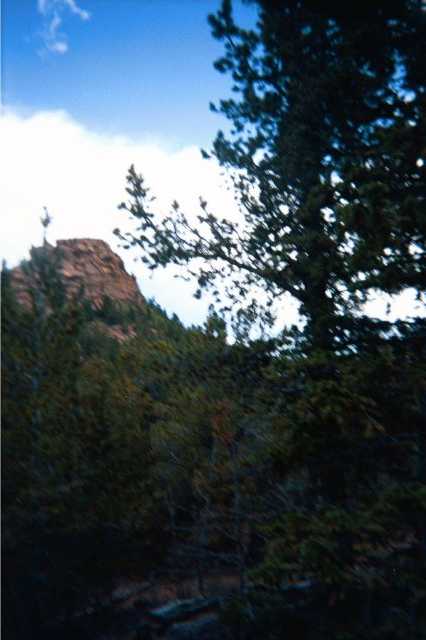
Mile 9: Climbing this rock mound was the 'high-point' of the hike

Mile 9: The view from the top of the mound

Mile 9: More views from the top of the mound

Mile 9: Last view from the top of the mound
I left the trail and approached the stone mound, through about 100 yards of off-trail hiking. As promised by the lady, the north approach of the 100'-high mound appeared reasonably easy to climb. I left my backpack by the mound and climbed to the top. There were a few tough spots where I needed to use both hands and feet in climbing, but for the most part this rock-climbing finale to the upward hike was relatively easy.
Upon reaching the top of the mound, the wonderful vista was truly awesome! In addition to the East and South views to the plains seen from many parts of the hike, this was the only time I got a North-looking downward view. I took several photos of the Colorado plains below.
Climbing back down, I found myself in a bit of a jam. I didn't take exactly the same route, and I suddenly found myself facing no way down and slippery cliffs several times taller than myself. At this point it occurred to me that throughout my hike on the side trail I did not see another soul. If I were to fall and become immobile, I would be 100 off-trail yards - just barely a shouting range - from a side trail that didn't seem to have anyone on it. I decided to be extra-conservative in my down climb. I climbed back to the top and then traced the way I came up back down.
Time was beginning to become short. With the overshot detour and unaccounted time spent climbing up and down the mound, it was already well past 3PM, the supposed time to start the down-hike from Barr camp. I decided to save a few minutes by cutting diagonally from the rock mound back to the trail. I headed in the specified direction and 10 minutes later I realized that I am still not back on the trail. I also realized that I just crossed a creek (I did not cross a creek on the way out from the trail to the mound), that I am in a deeply wooded area and can no longer see either the rock mound or the trail. In short, I am on the verge of being lost. I decided to trust my sense of direction and keep going straight. The trail would have to be somewhere between where I was and the mountain wall, so as long as I am heading toward the wall, I should find the trail. A few minutes later I did, indeed, find the trail. It turned out that I cut out a lot more than I thought since I was back at Barr Camp less than 5 minutes later.
Back in Barr Camp, I met the rear-guard of the fundraising race: A medic and several others, who were hiking up in the afternoon to pick up any "strugglers". Before starting down, I took the opportunity to apply moleskin to some "blisters-in-training". I was amazed that after 10 miles (8 miles up, and 2 miles detour) I had no blisters. This trick of using a show that was 1-size too large and thick socks really worked. With the moleskin, the proto-blister reversed its course and by the time I was down it completely disappeared. I started down at 3:40PM. To reach the bottom by 6PM, I will need to hike at a comfortable speed of half a mile every 10 minutes. The only problem is that I won't be able to take any break - unless I find myself ahead of schedule.
Tammy and Jennifer on the way down
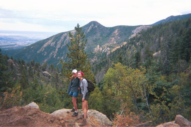
About 2.5 miles from the bottom: Tammy and Jennifer
I was making excellent time. I would only make short breaks - typically when I met uphill hikers, I would stop to chat a minute or two. The afternoon uphill hikers were typically older individuals with a lot of hiking experience who felt comfortable with their ability to reach Barr Camp before sunset. As the down-trail became steep, my feet were beginning to hurt, as each step became a shock absorber for my weight. I would sometimes run down the steeper slopes. It's just as painful to walk or to run, and running I'd be making better time. At this point I was using my power bars for a continuous sugar-high. I would take a small bite every 5 minutes. I stopped drinking the Gatorade (drinking bottled water instead) so as not to dehydrate myself.
Four miles from the bottom I met Tammy and Jennifer. The two recent transplants to the Colorado Springs area were among those who turned around in face of the mid-day hail. We hiked together for several miles before I proved too slow for them.
I reached the bottom at 6:10PM, only 10 minutes behind schedule. Just before reaching my car, I ran into Tammy and Jennifer again who - in no less pain than I was - gratefully accepted my offer to drive them to their car (about 0.75 miles farther down from the trail then where my car was parked). They showed me, on the map, a faster route to DIA (through a toll-way).
Before departing for DIA, I changed to my new Pike's Peak tee-shirt. At 80 miles per hours (only 5 MPH above the speed limit), I reached the airport around 8PM. I returned the rented car, made it to the terminal, checked in, stepped on the plane, and fell asleep before the aircraft even left the gate.
The End