GIS Visualization Studies
Nathaniel Bobbitt
Sometimes We Forget... We Live in a Valley
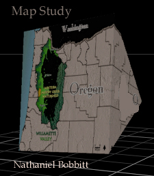
Muddy Creek in a State Map (Oregon)
Map Visualization

3-D graphic of a pyramid is used to visualize:
Division of Oregon
*
Division of Oregon into:
1.Large Lesser Inhabited East Oregon (Desert Terrain) Sector
2.Smaller Heavy Populated West Oregon Sector (Timberlands)
*
Geographic Location of Oregon and its Coastal Line
*
Amplified Visualization of Muddy Creek
The Muddy Creek (the smaller region) is effectively amplified through a visualization based on a 3-d graphic. This visualization technique illustrates how a smaller region can be given greater emphasis while maintaining a full scale view of a much larger region (State of Oregon). The pyramid form also dramatizes the division of Oregon according to the impact of the Cascade Mountain Range on the State of Oregon's Geopgraphic and Demographic Concentration. Source Map
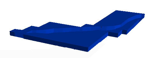
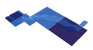
3-D Animation McKenzie River Basin
Test Studies

Vicinity of Roberts Island
McKenzie River

Animation Willamette River 200 Years
Visual Paradigms | Animation Portfolio | Glass Installation
Related Links


