3D Display. A XBIT's 3d display is based on the photogrammetry theory of a central projection. The XBit command for 3d display is rimage gtop. It calculates a focal plane image from a surface image and a digital elevation model (DEM). In addition, it can also perform image relative orientation and ortho-rectification. The following is an example of Grand Canyon 3D display using a Landsat TM image as a surface image (bands 4, 2 and 1):
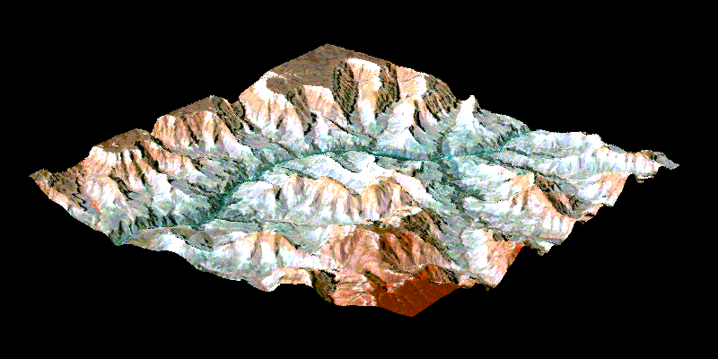
rimage gtop -in grand_canyon.lan -out grand_canyon_3d
-dem grand_canyon.dem.lan -zs 0.03 -b 4:1,2:2,1:3 -ro 1.1,0.1,4.0,1900
If we only have DEM and do not have image data, we may derive shaded
relief image from DEM and use it as the surface image for 3D view.
The following imagery show how 3d views of a Grand Canyon section can be
derived from a DEM image. The procedure involves two steps: 1) generating
a shaded relief image from the input digital elevation model using the
command rimage gdem; 2) 3d imaging calculation with the command
rimage gtop.

Digital elevation model |

Shaded relief image |
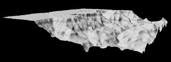
rimage gtop -in cany.shade.lan -dem cany.lan -out cany3d.lan -zs 0.3 -ro 1.3,0,4.2,500 |

rimage gtop -in cany.shade.lan -dem cany.lan -out cany3d.lan -zs 0.3 -ro 1.3,0,3.6,500 |
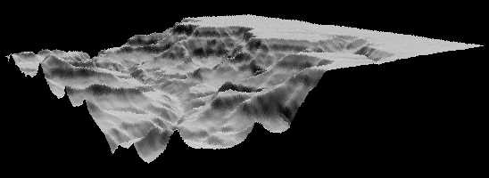
rimage gtop -in cany.shade.lan -dem cany.lan -out cany3d.lan -zs 0.3 -ro 1.3,0,2.2,500 |
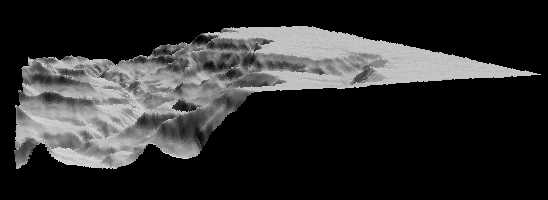
rimage gtop -in cany.shade.lan -dem cany.lan -out cany3d.lan -zs 0.3 -ro 1.3,0,1.9,500 |