

We have signups, and discuss the upcoming project.
 #1 |
 #2 |
 #3 |
 #4 |
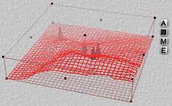
I will post them as they come in, and each person will design
their elevation map based on the previous adjacent elevation maps.
NOTE - making the edge of one elevation map match
the edge of another might take a bit of careful work.
One way would be to import the existing elevation into Photoshop,
cut out a one pixel strip along the edge you want to match,
(the right edge, if it's from your neighbor on the left, for example),
and put it at the edge of a blank elevation map.
(The left edge, for example, if your neighbor is on the left.)
Then you can fill in the rest of your elevation map, import it into
Bryce2, etc. Just don't change the very edge pixels of your
elevation map. It would be good to make your terrain slope the
same as your neighbor's terrain, so there won't be a "crease"
along the edge.
When a person has their elevation finished and submitted, so
that others can make the matching elevations,
they proceed to do any refinements and additions they want.
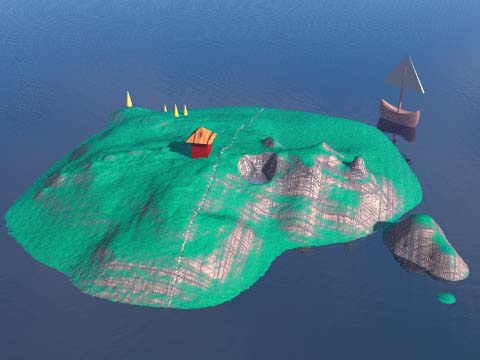
They may add objects, such as the boat, hut, or cones
in the example below. They can excavate caves and ponds
and fill them with water.
They can also revise the MIDDLE of their terrain.
(The edges must stay the same, however, to ensure smooth matching.)
This results in a Bryce2 model,
Sort of like this:

![]()
That terrain gets shipped off to me (somehow), along with the others,
and I tile them together into a large model, which I will later render.

![]()
The final result will be sort of like:

I left these terrains apart a small distance to show the pieces,
but they'd be pushed together more like this:

![]()
upload
edit