jimsjournal
| South Kingstown Bike Path -- 08/19/02 |
Yesterday I posted a picture of Kingston Station, which is where the bike path begins (or ends, depending on your point of view). The Narragansett Pier Railroad (built in 1876) ran eight and a half miles from Kingston Station (where it picked up travelers and freight coming from distant locations) to Narragansett Pier, a resort community on the shore of Narragansett Bay, stopping along the way in the mill town of Peace Dale and in Wakefield (which is what passes for a "metropolitan core" of the Town of South Kingstown). The bike path uses the abandoned roadbed of the Narragansett Pier Railroad from Kingston Station (which is now an Amtrak station) to Peace Dale. That first section was created three years ago. Work is currently underway to continue through Peace Dale and Wakefield (might be completed sometime this fall), as far as to where RoJack's Supermarket used to be. (That's a Rhode Island joke; Rhode Islanders are notorious for giving directions in terms of what used to be.) A third stage of the project will be to continue the path another mile or so to Sprague Park in Narragansett where it will terminate (the final few blocks of roadbed to where the Narragansett Pier station used be have been covered by buildings making it impractical to go all the way); however, there is a push to extend the path another half a mile or so from the park to the grounds of the South County Museum.
The picture below is taken from the end of the bike path (mile marker zero is a hundred feet or so behind me) facing away from the bike path looking toward Kingston Station. (Just to further confuse you, Kingston Station is located in West Kingston, a mile or two down the road from Kingston.)
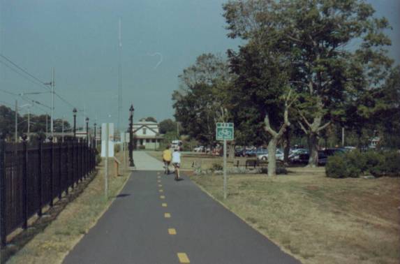
The next pictures show how parts of the bike path are fairly open...
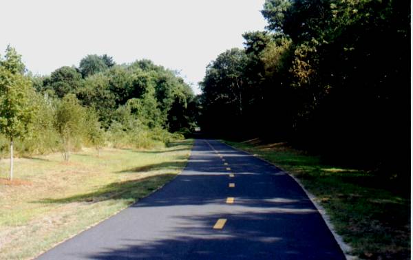
and sometimes it is like riding in a tunnel through the woods...
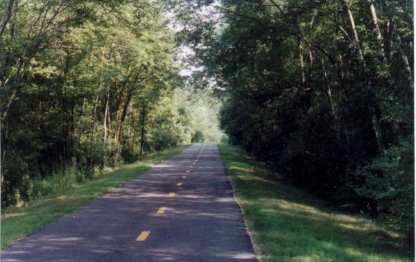
You ride past the edge of The Great Swamp Management Area -- a state nature and wildlife preserve -- which was also the scene of the Great Swamp Massacre in 1675, during King Philip's War (a complex tale, best saved for another time).
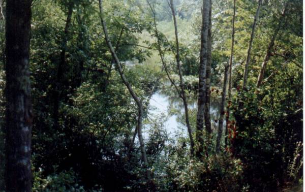
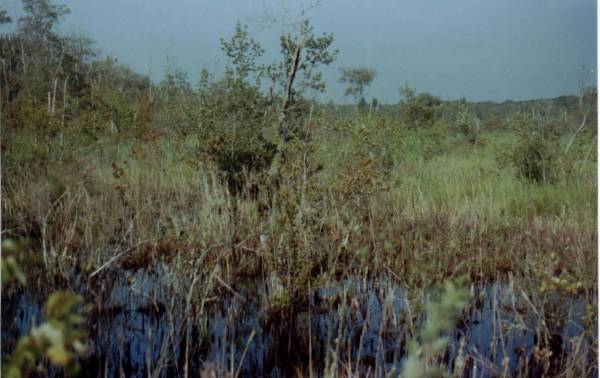
(The picture below is Genesee Swamp which is technically outside of the state preserve but is actually part of the same swampy terrain; on the north side of the path instead of on the south side.)
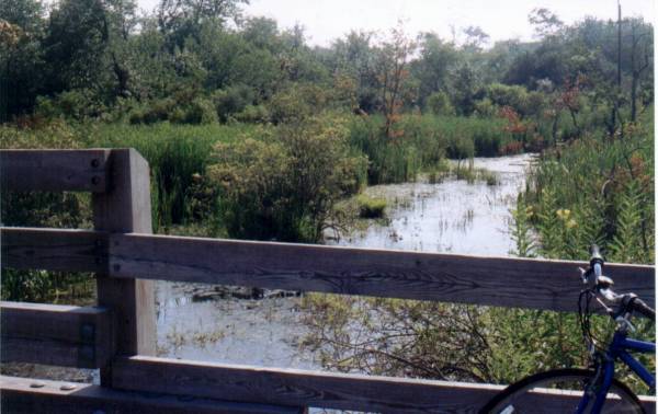
And, finally, here's a view from a small bridge that carries the path across White Horn Brook (yeah, that's my bike in the lower corner).
Well, I've not taken you very far along the path... maybe another day I'll bring you the rest of the way into Peace Dale.
That bridge, by the way, is my turn-around point when I'm doing a five mile run -- which is not something I've really done since late May or early June -- that plantar fascitis problem -- but my heel is much better and I'm working my way back into running shape. I did attempt a five mile run a few days ago but the heat was just too much for me so I walked the last half a mile. Cooler weather will be here in a couple of weeks and I can start building my long runs then; in the meanwhile I should probably stick with three or four mile runs.
previous entry