This Is The Most Incredible
Place I've Ever Been...
Tenerife

 |
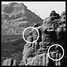
This is the most awesome place. Words cannot express... but I will try. This photograph was taken using an inexpensive cardboard panoramic camera. The promontory in the foreground is several hundred feet tall. (The inset shows two people scaling this feature: one is near the center, the other sitting on the bottom right. I apologize for the fuzz. It's the clearest I could make it.) This is the crater of Teide, the volcano that made the island. It is 11,000 feet in alititude. The island at its longest is 30 miles. I have been above timberline many times having been raised in Denver, Colorado, but I could never see the sea from the top of Mt Evans. |

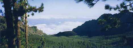
This is a view down the east side of Teide. The downward angle, surprisingly not apparent, is about 30 degrees. Then it gets steep and appears to drop off into the sky. In the middle distance is a volcanic vent cone. It is black as pitch rising out of a lush pine forest. Unbelievable.

 |
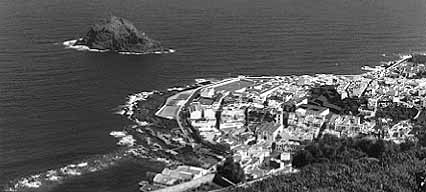
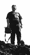
This is a view of Garachico from the air. Okay, not really. This is Garachico from part way up a nearly vertically inclined road on our trip up Teide. Have I mentioned yet that I suffer from acrophobia and vertigo? I thought I was going to die of fright, but John, my beautiful man, stopped for this photo, and I was able to get some very needed air. Oh, and that's me on a roadside outcropping of volcanic rock. |

|

|

|

|

|

|
| Creative | FauxBear | Adventure | Links | DeadBear |
These pages, artwork, photographs, and design are |