Scenes From a Soldier's Point of View
The scenes depicted on this page are of a more geographical nature, so as to offer some description of the local villages where the soldiers were stationed...(just like with photographs).
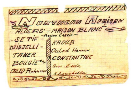
The first picture here is not a scene, but a list of the several different places which the soldiers were stationed at. This particular piece seems to have different inks used on the names, suggesting that my Grandfather carried it with him throughout the journey recording the villages he'd been in...like a personal record.
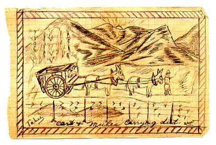
This next sketch is a look at the local way of life in Taher. The annotation at the bottom reads "cart & mules carrying dirt". You can see the majestic mountains in the background, the sun, and some crops growing tall behind the cart. In the foreground you can see a barbed wire fence.
This next is a look at a plowing field in Setif, another small village in Africa. In it you can see the farmer and his animals pulling the plow. Behind the farm, you can see the cluster of houses which make up this small village. 
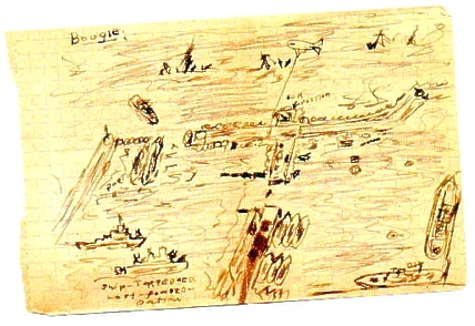
The scene below is a rather complicated one. To start, it is Bougie Harbor, Africa. What you see is a birds eye view of the jetty's and the water. The water is the Mediterranean Sea. Towards the center of the picture it is marked "our position". In the lower left corner, there is another annotation that reads "ship-torpedoed. Lost-forward-portion". Also, towards the top of the scene, you see a ship that had been sunk. It looks like alot was going on. (Another interesting thing about this picture: My Grandfather told me recently that he was surprised that this particular picture made it through the mail system because of it's maplike quality. It was exactly as he drew it, and it was more of a factual picture that showed the exact location of where they were stationed, unlike the other pictures which were more humorous.)
next page
Go Back