DeSoto State Park
Located at 34.504120, -85.624480, Named after DeSoto and probably very cool in the wet season.
Get directions from your location!
View the trail map!
The hiking here was not too shabby. It was very easy and relaxing
with some nice rock formations and a few small falls when there isn't a drought.
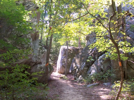 Begining of the Laurel Falls trail |
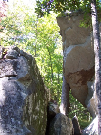 Fancy... cause its sideways |
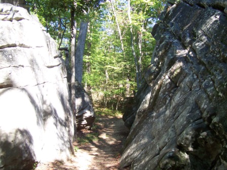 Other side |
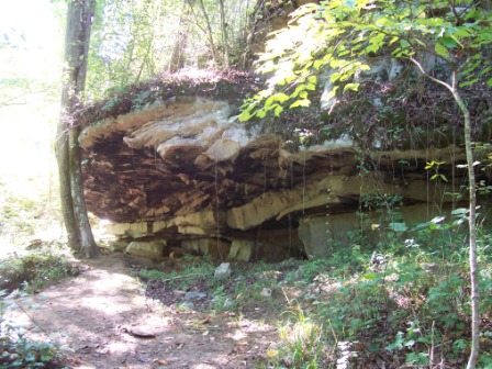 Dude... an archeological site |
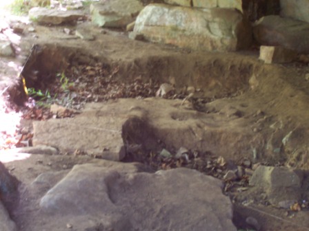 See! Archeology |
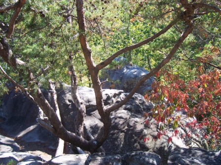 Rocks |
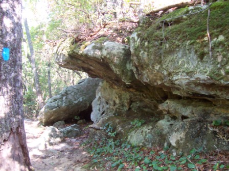 Also rocks |
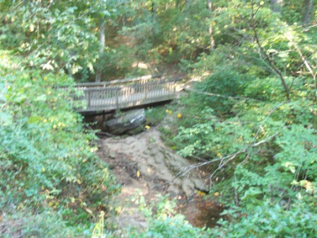
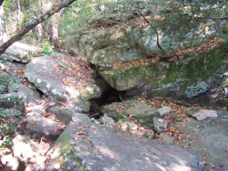 There should be water here |
 ... |
 WWJD? |