

IcelandAugust, 1997 |
||
| [ Blue
Lagoon | Reykjanes | Explosion
Crater | Cathedral | Waterfall
| Gulfoss | Geysir | Thingvellir
]
|
||
| Jacqui and I visited Iceland for
three days in August, 1997. Let me begin by saying that three days
is not enough for a visit to just about any country.
On an atlas, Iceland looks like a small island, but we found it to be packed
with places to go and things to see. Mountains, glaciers, canyons,
waterfalls, geysers, volcanoes, and lava floes abound. We never got
more than about 75 miles from Reykjavik, the capital, but we saw at least
one of each of these.
Most of the travel information we saw about Iceland involves very structured
vacations. Icelandair, the national airline, will fly you in and
show you as much of the island as you are willing to stay for. Their
tours include transportation by bus, plane, or boat, and range form four
hour tours of the Blue Lagoon to three week adventures covering most of
the island. We took two of the shorter tours, and enjoyed them both,
but I would love to go back for a longer self-guided tour.
|
||
 |
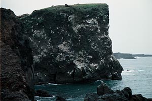 |
|
| We arrived in Keflavik airport
early on a cloudy Saturday morning. I was excited to arrive in Keflavik,
which played a critical role in NATO's plans for the defense of Western
Europe (and in Tom Clancy's novel "Red Storm Rising"). Keflavik served
as an enormous air force base in the middle
of the North Atlantic and would have been essential to the protection of
transport vessels bringing American soldiers, equipment, and ammunition
to France in the event of a conventional war with the Soviet Union.
The American presence has diminished substantially in the 1990's, leaving
Keflavik an oversized airport for the few Icelandair flights which arrive
and depart daily.
|
||
[ Top | Bottom
]
The Blue Lagoon |
||
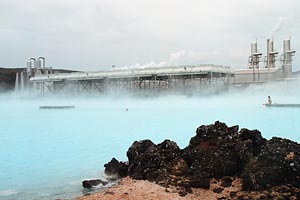 |
After checking into our hotel in Reykjavik, we left on a short tour to the Blue Lagoon, a hot, mineral-rich, man-made lake. Most of Iceland's energy is geothermically created. Underground water, heated to boiling be nearby volcanoes, is brought to the surface and used to turn the turbines in electric power plants. The only by-products of this process are the water, which in the case of the Blue Lagoon is too salty to be used for drinking, and the resulting steam cloud, which can be seen for at least two miles on a clear day. The Blue Lagoon used to be a popular site for nearby residents to relax, and is reputed to have healing powers. It is now an tourist site; the entrance fee and ever-present tourists keep many of the local residents away. | |
 |
||
[ Top | Bottom
]
Reykjanes Lava Flow |
||
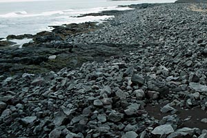 |
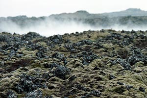
The tour also included a few stops at scenic sites on the Reykjanes
peninsula, which like the rest of the island was created by volcanic eruptions.
In some places, the lava rocks lead right up to the shore -- the sea has
not had enough time to grind them into sand.
|
|
[ Top | Bottom
]
Explosion Crater |
||
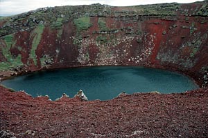 |
The following day we left Reykjavik for a tour of some of Iceland's
most popular natural wonders. The first stop was an explosion crater
about fifty miles from the capital. The crater is the result of a
volcanic explosion several centuries ago which took the top several hundred
feet off of a red-soiled mountain. The crater has since been
partially filled by rain and melting snow.
|
|
[ Top | Bottom
]
Cathedral |
||
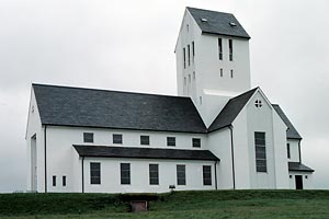 |
The second stop was not a natural wonder, but Iceland's main cathedral. We were unable to go inside because of ongoing services, so we moved on and made an extra stop at a small (by Icelandic standards), privately-owned waterfall. | |
[ Top | Bottom
]
Small Glacial Waterfall |
||
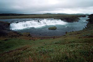 |
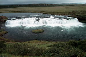
Like most of Iceland's rivers,
this one is created by glacial runoff and owes its deep blue color to the
minerals deposited in the water by the grinding of the glaciers.
|
|
[ Top | Bottom
]
Gulfoss (Golden Falls) |
||
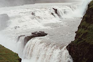 |
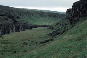
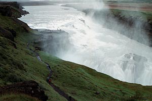
Next, we moved on to the much-larger Gulfoss (Golden Falls). This enormous waterfall was nearly destroyed earlier this century when its owner agreed to sell it to a power generation company which intended to build a hydroelectric plant on the site. He backed out of the deal when his daughter threatened to throw herself into the falls if he went through with his plans. The falls have since been purchased by the government and are thus protected from future attempts to dam the canyon. | |
 |
 |
|
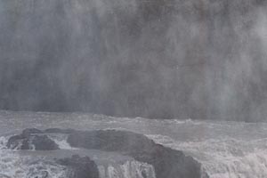 |
The falls are accessible from three places: the top of the cliff on the west side of the main canyon, the rim of the smaller canyon just past the falls, and a small, mist-shrouded rock outcropping right next to the rushing water. | |
[ Top | Bottom
]
Geysers |
||
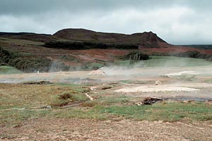 |
A few miles down the road from Gulfoss is the home of several geysers,
including the great Geysir, from which all geysers got their name.
Geysir, which once launched water as much as one hundred feet into the
air, is now little more than a pool of near-boiling water. It was
plugged by tourists who threw rocks into it in an attempt to encourage
it to erupt.
|
|
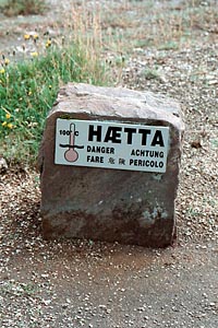 |
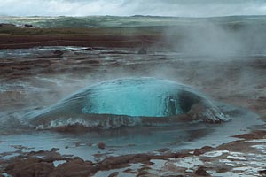
There are a number of active geysers in the same area however, the
largest of which is called Strokkur. Geysers erupt when steam in
an underground cavern forces the water above it up through a hole in the
ground. Just before the steam breaks free, the water bulges out of
the hole in a large bubble. After the eruption, more steam builds
up under the water in the cavern, and the geyser erupts again. It
will continue to erupt as long as the hole remains clear and its supply
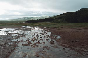
of boiling water is sufficient. The water expelled from these geysers
runs downhill and feeds a small river.
|
|
 |
 |
|
[ Top | Bottom
]
Thingvellir National Park |
||
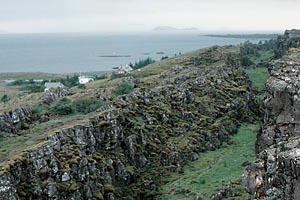 |
The last stop on this tour was Thingvellir National Park. Thingvellir
was once the outdoor home of Iceland's parliament, which has since moved to
Reykjavik. Thingvellir contains a few miles of the Mid-Atlantic Rift as it
passes through the center of the island. The Mid-Atlantic Rift is a canyon
that runs much of the length of the Atlantic Ocean.
|
|
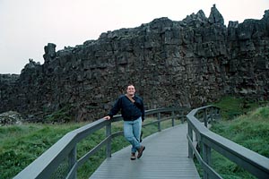 |
The tectonic plates on either side of the Atlantic are moving farther
apart every year, and as they do, the land in between them becomes unstable.
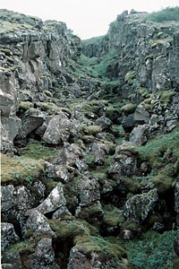
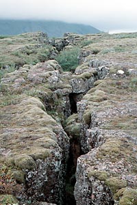
In some places, like Thingvellir, the ground collapses leaving a canyon
that gets deeper as time passes. In others, magma breaks through
the earth's crust and a volcano is formed. Surtsey Island, a small
island off Iceland's southern coast that broke through the surface of the
Atlantic about thirty years ago, is a good example of the volcanic activity
associated with the rift.
At one point I climbed into the center of the rift. While facing
south, my left foot was in Europe, while my right foot was in North America.
|
|
 |
 |
|
|
We saw a little bit of downtown Reykjavik on our last day in Iceland, then went to the airport to catch aflight to London for the rest of our vacation. Unfortunately, we were in Iceland for three cloudy and rainy days, although I understand from talking to a few locals that clouds and rain are quite common in late August, which is not really summer near the Arctic Circle. Nevertheless, we enjoyed our trip, and I would not hesitate to go back for a longer period of time and a less-structured tour of the island. |
||
| [ Top | Bottom] | ||
|
Related Sites:Return to Return to Steve Raia's Home Page Text and photos Copyright 1994-1998 Stephen A. Raia |
||