Views of the Desert and Salt Flat of Atacama |
The Atacama Salt Flat (or Salar de Atacama) lies in the upper part of the Atacama Desert, about 1,000 miles north
of Santiago at about 8,200 feet above sea level. The nearest towns and cities are San Pedro de Atacama, on its
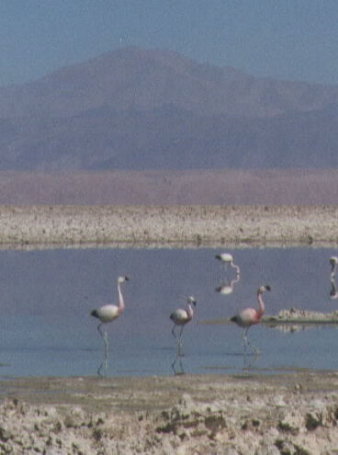
northen edge, Calama (62 miles) and Antofagasta (187 miles). It is one of Chile's highlights, with its splendid geologic formations, interesting fauna, archeological sites, and the nearby geyser fields and picturesque oasis pueblos. The temperatures can reach highs of 79 degrees Farenheit and a low of 39 degrees in the summer. At higher elevations, such as at El Tatio Geyser field, even in the summer, the temperature can get as low as 8.6 degrees and only get as high as 50! This is why we took along our winter coats and gloves. The Salar lies over an underground lake, but there are a few places where there is water on the surface. These small ponds in the surface of the rugged salt crust are the breeding grounds for several varieties of waterfowl, most notably the Chilean and Andean flamingo. |
Columbus Holiday Weekend, 1999
|
|
Pond at Los Flamencos National Reserve, |
|
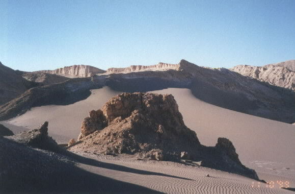
The Cordillera de la Sal is a short range of hills formed when layers of rock and sediment were pushed to vertical position and sculpted by wind and rain erosion. This is a picture taken in Moon Valley, at the northern end of the range. It is an area of eerie sandstone formations and sandunes. In this area we enjoyed a walk or crawl through an underground salt cavern, a tour of some of the notable natural sculptures and a long climb to the top of a sand dune to watch the sunset over the desert. |
|
|
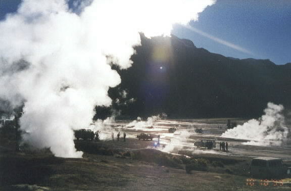
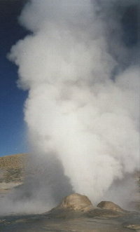
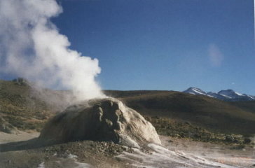
El Tatio Geyser field is about 60 miles north of San Pedro de Atacama where we were staying. We had to
leave at 5 AM in order to get there in time to enjoy the sunrise. This is the best time of day to enjoy the splendor
of the steam and water rising in the chilled air. And the air is quite cold, probably 10 degrees Faranheit. We
were glad when the sun rose and warmed us up. We still saw some ice on the ground for about 3 more hours after
sunrise. |
||||||||
|
|
|
|||||||
|
|
|
|||||||
|
|
||||||||
|
|
|
|||||||
|
|
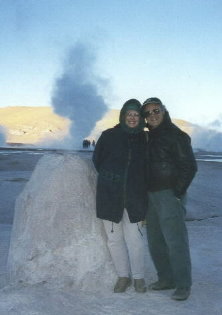
There were no scheduled eruptions to watch, like Old Faithful, so it was nice to catch this one after we ate. |
|||||||
|
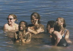
Later in the day, when it was warmer, there was no steam to be seen. This was when we went to a hot pool that was formed so that swimmers could enjoy the mixture of hot and cold spring water. Some of them painted themselves with the mineral rich mud that is used in beauty treatments. |
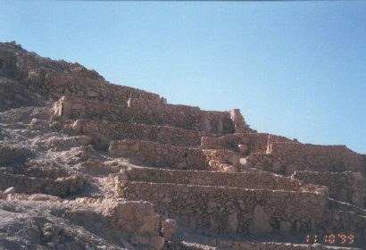
We visited this ruin of the Fortress of Quitor, near another oasis pueblo called Toconao. This provided both living quarters and protection for for the people and was last used about 4 centuries ago. It has been partially restored, but you could see the difference in building methods from the way the ancients did it and the restorers, who didn't have as much experience. |
|
||||||||||||||
|