Brazilian Maps through the ages
1600-1900 : Page 1

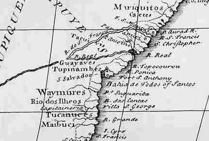
Map from the 16th century depicting the coastline between Salvador and Ilheus (on the map S. Salvador Rio do Ilheos)

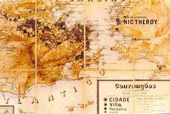
19th century / begin 20th century Rio de Janeiro & Niteroi (here still called Nictheroy)


Copyright 1996-1999 Photos and Text: Hans Blankenburgh
Last revised: 12/24/98.
