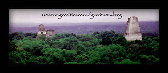
View from Temple IV, Tikal, GUATEMALA
| Translate: EspaŮol - FranÁais - Deutsch - Italiano - PortuguÍs - Japanese - Korean - Chinese |

View from Temple IV, Tikal, GUATEMALA
| Translate: EspaŮol - FranÁais - Deutsch - Italiano - PortuguÍs - Japanese - Korean - Chinese |

CENTRAL AMERICA
 Seven countries make up Central America; Guatemala, Belize, El Salvador, Honduras, Nicaragua, Costa Rica and Panama. These small countries together occupy an area less than the size of Texas.
Despite its differing degrees of development between each of these countries, i.e. unequal distribution of income, causing extreme variations in literacy rates and standard of living - this region of Latin America displays very sharp differences in racial composition and traditions in its population.
Around the time when Spanish galleons were in transit to this region, the Indian population consisted of isolated groups of cultivators nomadic hunters and fishermen. There were also groups of what remained of the Maya living in the Guatemalan highlands, by the two large lakes in Nicaragua and one in the highlands of Costa Rica.
The Conquistadors arrived with 2 main objectives: to find precious metals, and to exploit and 'christianize' the native people. With a lack of both, only a
few Spaniards remained behind and settled in Central America, intermarrying
 freely with local Indians, resulting in the high 'mestizo' population of today, paricularly in Costa Rica. The black Carib population that were originally brought in as cheap labour by railway builders and banana planters of the 19th century and Canal cutters of the 20th, and, apparently, not as slaves brought in by colonialists.
Central America is certainly an area with a long history of political turmoil and prolonged poverty. But, it seems, major efforts have been made recently to have the governments of each country form some kind of federation in order to make the area a competitive trading bloc. We can only wait and see...
July 8, 1999 -- (1145) We leave Chetumal Bus Station and cross the border into Belize on a heading to Belize City (previously it's capital until 1970).
Our plan is to spend one or two days in Belize City ot visit Caye Caulker and then head directly to its western border and cross into Guatemala.
Belize, the only Latin American country where English is it's official language, is, unfortunately, an expensive place to visit. Expensive due to causes such as: underpopulation (many skilled workers emigrate); and is not yet self-sufficient (imports far exceed exports - 20% of imports are foodstuffs). It was quite common, during our bus ride down from Chetumal, to see Belizeans crossing over to Mexico to buy food in bulk and return in packed bus loads.
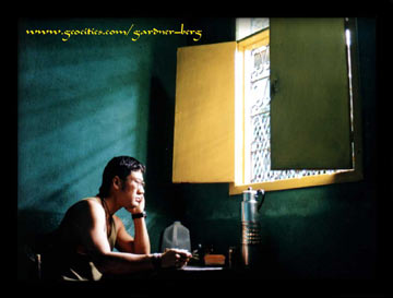 Our arrival to Belize City had us instantly dispel any notion of similarities to, say, Chetumal. In fact, it seemed more like a small town or village. But the heat and humidity was certainly no different. The city is undergoing development to attract more tourists with improved sewerage systems already installed and a planned construction of a sea front. As with all major cities we have visited so far, Belize City has its crime element - and where we stayed
(Regent St. West - by the swing bridge), we would walk past groups of drunks, crack-addicts and conmen all sleeping during the day, and would guess them to be very active at night.
Despite our hotel surroundings, our hosts were very friendly and helpful.
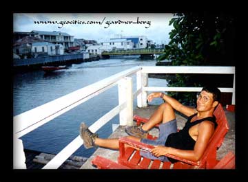
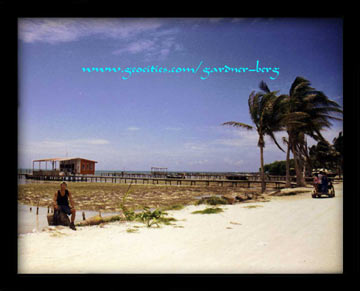
July 9, 1999 -- (0900) We take a water taxi to Caye Caulker - one of the many islands dotted along an almost continuous line of barrier reef (150 miles). Scuba diving enthusiasts flock to the Cayes from around the world; the marine life and coral formations here provides endless opportunities for underwater photography.
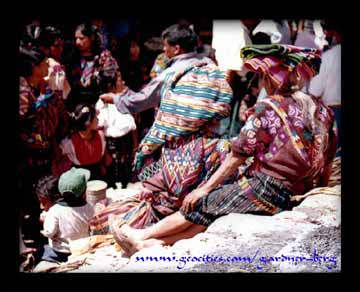 But, alas, not for us. We're not trained , and we certainly don't have the money to finance this kind of sport. One day, perhaps. We'll stick with Longboarding.
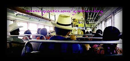
July 10, 1999 -- We leave Belize City and head to Melchor de Manco where we disembark for border formalities. We walk across with our gear and catch another bus heading to El Peten - the north region of Guatemala. Most of the roads in this area are unpaved and potholed, but the slow pace allowed us to take in some scenery. It was around 2 pm when hunger pains began to set in. We had not eaten since the night before, so when food vendors boarded the bus, the sight and smell of fried chicken and tortillas had us scrambling for some money.
Our destination in the El Peten region is a town called Santa Elena - situated on the southern edge of a large lake (Lago Peten Itza). A causeway (500m long)
joins Santa Elena with the island town of Flores (where most foreign travellers stay). On our arrival we decide to stay in very basic accomodation in Santa Elena - close to the transport services.
July 11, 1999 -- We experienced an earth tremor which apparently was distant to its epicenter in Belize City, measuring 6.1. It caused some damage in Southern Guatemala according to news reports. It certainly was an interesting sensation all the same. Everyone, including ourselves scrambling down the stairs half-naked and shoeless. The old man with the walking stick who owned the hotel beat all of us down to the safest area. It was 8am and pouring with rain.
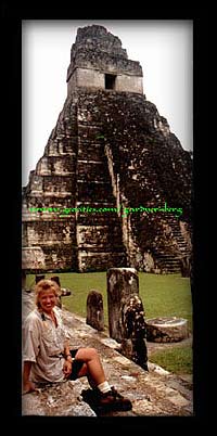
July 16, 1999 -- The Mayan ruins of Tikal: situated right in the middle of the Tikal National Park, this ruin site is, overall, a place that cannot be omitted in any itinerary when visiting Guatemala. Set in dense jungle surroundings with a climate of high temperature and humidity, it's difficult to imagine the scale of the working conditions during its excavation and restoration.
 Reaching its height around 650 AD, Tikal was an important Mayan centre for its rich harvests to feed its increasing population. But around 800 AD onwards, this city, along with others in the Southern lowlands, slowly declined raising speculation, by scholars, of drought, overpopulation and, consequently, peasant rebellion.
By the 10th century, Tikal was totally abandoned.
Today, this site has become the apex of 'La Ruta Maya' to many travellers, even to the extent where some of them spend nights camping at the top of one of its temples - most popular is Temple 4.
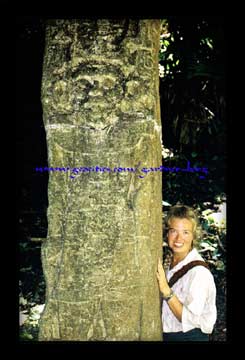
July 20, 1999 -- (0900) We hop on a bus leaving the Santa Elena market bound for Sayaxche - 3 hours south - where we would base ourselves for 2 days with the intention to visit the ruins of Seibal (El Ceibal).
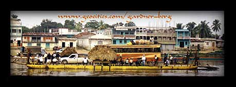
Getting to Sayaxche was interesting. The road ends at a river's edge (Rio de La Pasion) where small boats await to take you across to the other side where the town is situated.
July 21, 1999 -- (0700) A bus leaves Sayaxche and drops us off at El Paraiso crossroads and from there, we walk 7 kms to the ruin site passing friendly villagers along the way.
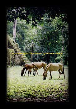 Another hot and humid day for walking but we had many friends in the form of mosquitoes to accompany us there and back. Some of Guatemala's best preserved stelae are found here along with an unusual circular pyramid.
We return to the junction where we catch a ride on a pick-up truck back to Sayaxche and then return to Santa Elena the following morning.
July 27, 1999 -- (1300) We head to Uaxactun for 2 days to visit ruins situated there. Uaxactun is a 4 hour bus ride into the Tikal National Park. It was an interesting ride - slow and rough (from Tikal ruins) on an unpaved narrow path stopping every now and then to machete away overhanging branches and clear fallen trees.
The Uaxactun village itself is situated along an old disused airstrip running right through the middle of the unrestored and partially-excavated ruin site.
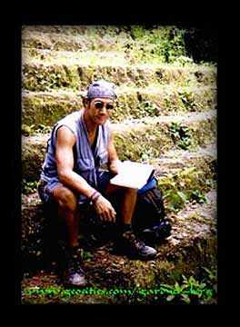
Here is where we would view the oldest known Mayan construction. This pyramid was erected at the beginning of our modern era. It supported a temple built of perishable materials, and its 4 huge stairways were flanked by 18 vast serpent and jaguar masks made of stucco, illustrating the fundamental oppostion of Mayan cosmology - the oldest complete Mayan astronomical complex. This is the earliest known example of the pyramid with 4 staircases, representing the division of the cosmos into 4 Quadrants. Although today the structure is white in colour, along with the majority of those that came after it, It was once covered with blood-red paint.
July 29, 1999 -- (0600) Return to Santa Elena.
August 2, 1999 -- (8pm) A gruelling 11 hour overnight bus to Guatemala City - due mainly to aggressive driving. We got there in one piece.
Photos and Text Copyright © 1999-2001 Gardner-Berg. All rights reserved.
Sources of Further Reading-
Baudez, Claude and Picasso, Sydney. "The Lost Cities of the Maya" Henry N Adams, Inc., New York, NY. 1992.
Coe, Michael, D. "Lords of the Underworld: Masterpieces of Classic Mayan Ceramics", Priceton University Press, NJ.
Fash, William L. "Scribes, Warriors and Kings: The City of Copan and the Ancient Maya" Thames and Hudson, Ltd, London, 1991.
Genevieve, Michel. "Rulers of Tikal: An Historical Reconstruction of Field Guide to the Stelae" 1989
Schele, Linda and Freidel, David A. "A Forest of Kings: The Untold Story of the Maya" Morrow New York, NY.
Stephens, John L and Catherwood, Frederick. "Incidents of Travel in Central America, Chiapas and the Yucatan"
Stuart, George C and Stuart, Gene S. "The Mysterious Maya" National Geographic Society, Washington DC., 1997.
Wright, Ronald. "Time Among the Maya".

