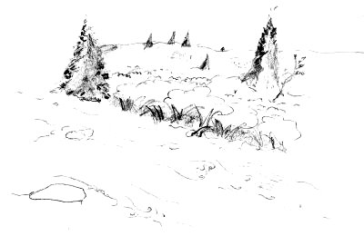
| The leaves are just coming out this far north |

| The leaves are just coming out this far north |
Wow. Yesterday was some adventure. With all the meanders, its hard to tell where we are on the map but I think we covered 12 or 15 crow-miles. We went by a developed campsite almost right away (of course), and proceeded to paddle down one of the nicest rivers I have been on. It started wide, deep and with good views. Then it dropped into a mile of class II. We passed under a bridge during this section. I poled down the rapids and had the time of my life. I think the bridge is shown on the map at the (county) line as we entered Municipalite de Ville de Pohenegamook. If so, we have about three miles to go before we hit Lake Pohenegamook. [wrong!]
 |
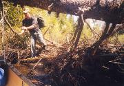
| Just passing through! |
This night we found a developed campsite like Mike Krepner described when asked about the etiquette for using them: "Leave as many beer bottles and trash in the fireplaces as possible." Yes, there was a lot of garbage but it was nice for two tired boys to set up with a clear space for the tent and tarp and a fire ring ready-made. The country around here is heavily forested and, like everywhere, ATV's travel the forest roads. Very few planes pass overhead.
It was here that we hacked a couple of ~ four by six foot pieces of heavy guage black plastic from some of the trash at the site. We used them throughout the trip, as rain covers, ground clothes, etc. Very handy.
