
Scouting the Wawenock Ahwangan |
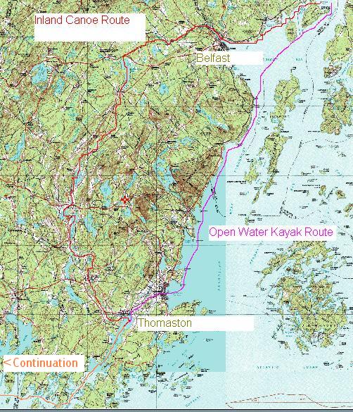 |
| The Penobscot River spills into the Bay at upper left. Today's kayaks can easily travel the open water to Rockland and then portage across to Thomaston in Muscongus Bay. Our route will depend on the weather. If it's nice sailing weather, then Doug and I will sail down the shoreline and take the Rockland - Thomaston Portage. That will probably take a day. If it's adverse at all, we'll take the inland route which will probably take two or three days. |


1. Mill Stream on Cape Jellison
2. Landing at Sears Island
The inland and open water routes converge again and the first night's campsite will be at Ocean Shores Campground. About 25 miles. Photo 4 is taken from the landing. The oil tanks in the photo are on the shore. Sears Island is to the right of them, where we'll be coming from. Hopefully we can camp here on the way to the put-in, leave our gear and paddle light boats on day one, arriving to already set-up tents. Day 2 starts by paddling down the edge of the bay southwest to Belfast. This section is in undoubtedly open water and there is no alternative. An early start will be necessary to avoid as much wind as possible. The initial part is along a western shore and may be protected from prevailing winds, but the last section into Belfast is almost due west.


4. Take-out first night at Searsport Ocean Shores
5. View down bay toward Belfast. Imagine what the open water looks like...
After paddling down the bay we enter Belfast Harbor. Belfast sits at the mouth of the Passagassawaukeag River. It will be at this point that we must decide between the coastal route along the western shore of Penobscot Bay with it's potential high winds, or the inland route with it's guaranteed two portages and several miles of upstream travel. The coastal route still requires a one-mile portage from Rockland to Thomaston. This portage is a traditional one which, like many good trails, is now paved over and labeled Route 1. We did scout around in Rockland looking for a public boat launch but it was getting late and the barbeque and beer was still two hours away back at Cousins Island. A view of the Boat launch in Thomaston is shown at the end of this article.
Assuming we go the inland route, we then enter the tidal Passagassawaukeag River in Belfast. In text by Mike Krepner of Native Trails, The Wawenock Ahwangan follows the Rockland Route. However David S. Cook, author of Beyond the Gravel Bar documents this route as one of many indiginous routes. As seen in Photo 6, weíll be coming from photo left and going under the bridge Iím standing on. Photo 7 was taken from a parking lot just upstream, with lousy river access. We ascend the river (an incoming tide would be pleasant), passing under the railroad bridge and City Point Road Bridge (Photos 8 and 9).
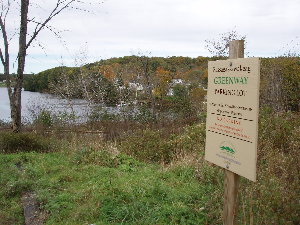
6. View of Belfast Harbor from Rte. 1 Bridge
7. View of river just upstream of Belfast.
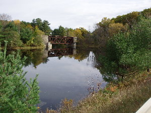
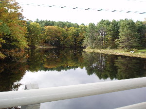
8. Downstream from City Point Bridge
9. Upstream from City Point Bridge
Shortly thereafter we reach Head of Tide and the real work starts. Within a mile there is a big mid-river island where we might be able to camp. Photo 10 shows the island at photo center, with just a small flow going to the left. It might be possible to camp either on the island or across from it on river right. Only about 8 miles this day. The alternative is to hook up with Packrat (Ed W) and complete the portage with his help, staying at his place, which is in the neighborhood.
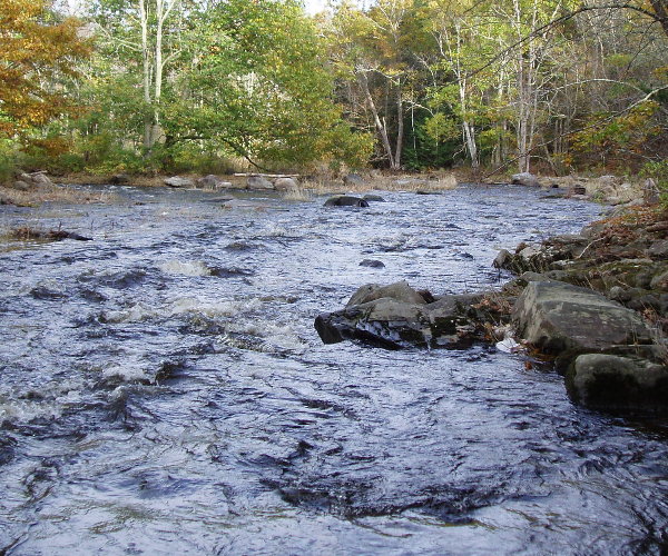
10. View downstream at midriver island
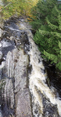 | 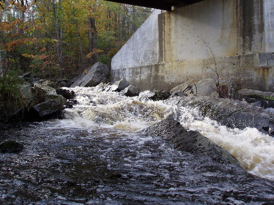 |
| 11. Looking down on the falls from Doaks Road Bridge | 12. Rapids under bridge at Doaks Road. Looks like a portage to me.... |
Day 3 starts with a 1 mile portage. If we are camped on river right, we can start the portage in the evening, carrying the canoes and some of the gear along a snowmobile trail up to Doaks Road. The cart portage then takes us up Rte 131(?) to Sheldon Road, across the metal bridge. This portage ends a little ways above Holmes Mill Dam, shown in Photo 13. We spoke with owner who doesnít want us in there. But he told us we could continue on Sheldon Road a couple more houses to a neighbor's trailer and see river in his back yard. He allows folks to take out there during an annual race and may met us put in there.

After we put in, it looks like about 2 - 1/2 miles of pleasant upstream poling. Photos 14 and 15 show a couple views of the river from Poors Mill Road bridge. Packrat knows the owner and can get us permission to take out at a bend in the river near Banks Road just upstream of Poors Mill.
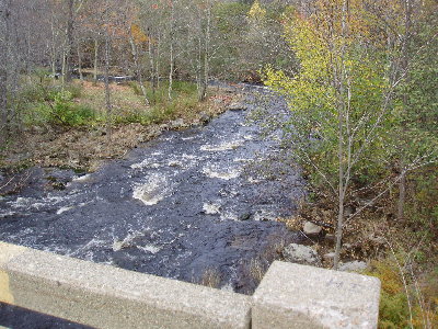 | 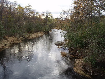 |
| 14. Pleasant poling below Poors Mill Bridge | 15. More pleasant poling upstream of Poors Mill |
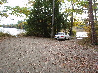 |
| The Put-In on Quantabacook |
Anyway, from here it's just a regular down-river canoe trip on the St. George. The canoe guide says it's mostly flatwater through connecting lakes and ponds, with a total of 3/4 miles of rapids. There are public campgrounds on Quantabacook Lake(Mile 1), Senebec Lake (Mile 12), on the far end of North Pond, a two mile detour at Mile 18 and a couple of miles below Thomaston at Mile 32. At Warren, the river becomes tidal. Here are a few photos on the way down to Thomaston.
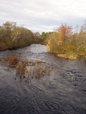
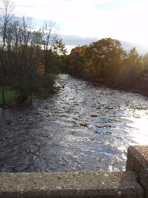
17. St. George River, Ghent
18. Same, looking downstream
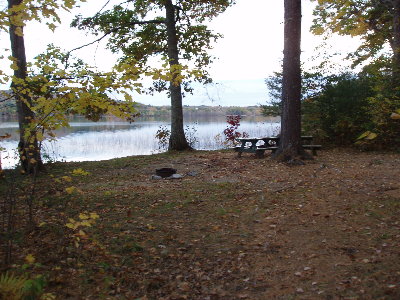 | 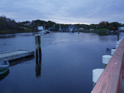 |
| 19. Sennebec Lake Campground | 20. View of mouth of St. George from public landing in Thomaston |
After reaching the boat launch by way of the inland route, one could take the five mile portage to Rockland and head back up the shore of Penobscot Bay back to the starting point. The Wawenock Ahwangan, as decribed by Native Trails, starts at the other end of this portage and heads this way. This poratge avoids the exposed waters of the Muscle Ridge Channel and the nasty shoals off Mosquito Head. Scooter and Hal, of course, will continue on their way to Casco Bay, and enjoy some of the beautiful island campsites of Muscongus Bay...
| [More Adventures] |  |