Ehtue hiked the last of the Collegiates on his list August 4, 2001 with his friend Danny, while Klaus was stuck back home working at his summer job. The trail follows that for Mt. Harvard for quite a way, but then heads sharply up Columbia instead of gently continuing on in a glacial basin towards Harvard. Maybe it's just because he hadn't climbed a mountain in two years -- or maybe it's just because he's getting older now, but Mt. Columbia surely seemed long and hard. It's about 5 1/2 miles from trailhead to summit, but surely seems longer coming back.
To get to the trailhead, drive north from the center of Buena Vista on US24. Just before reaching the edge of town, take Crossman Avenue west (County Road 350), a left hand turn, and follow it until it ends at a T intersection with County Road 361. Turn right. Follow 361 for about a mile, then turn south (left) on County Road 365. After about 1/10 of a mile, the road turns west (no options) into the mountains and proceeds up a valley for approximately five miles before coming to a dead-end parking lot at the trailhead. The road itself is quite rocky, but is passable to the end in a two wheel drive car, such as a 1991 Toyota Corolla ;-)
There are may fine campsites along the road, some quite close to the trailhead.
We began our hike just before sunrise, at 5:45. There are two trails leaving from just north of the parking lot -- take the one leading to Bear Lake (right hand).
The trail starts out very gently, following Horn Fork Creek to the north. Quickly, you pass over the creek so that you travel with it on your right hand. The trail registration point is just a little way downhill from the trailhead -- if you go very far without seeing this, you're on the wrong trail! After about 30 minutes of strolling through the Collegiate Peaks Wilderness the path crosses the stream over a wooden bridge so the stream is again on your left. Just past this crossing, the trail splits again: take the choice to the right which leads to Horn Fork Basin.
After the split, the trail steepens a bit to gain altitude as it approaches the basin. Along this path are many, many mushrooms, including some some that appear to be poisonous. We didn't taste it to find out ;-)
After you have entered the larger basin, but before you get up beyond the trees, there is a fork in the path, barely marked by a small pile of rocks. Take the smaller of the two trails, leading off to the right. (If you miss this turn and find yourself suddenly above timberline, turn back! Notice the slopes of Columbia to your right are now entirely scree on very steep slopes. The one you'll be going up is bad enough!)
(to be continued....)
In the meantime, here are some pictures of the hike...
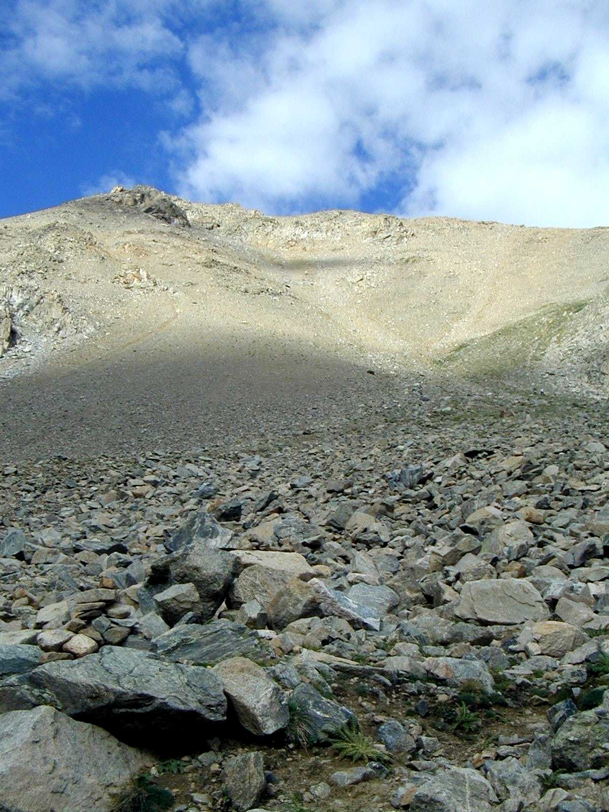
View up Mt. Columbia to attain south ridge (to get a feeling of size, try and find the people in this photo! You will probably have to view it at its full size):

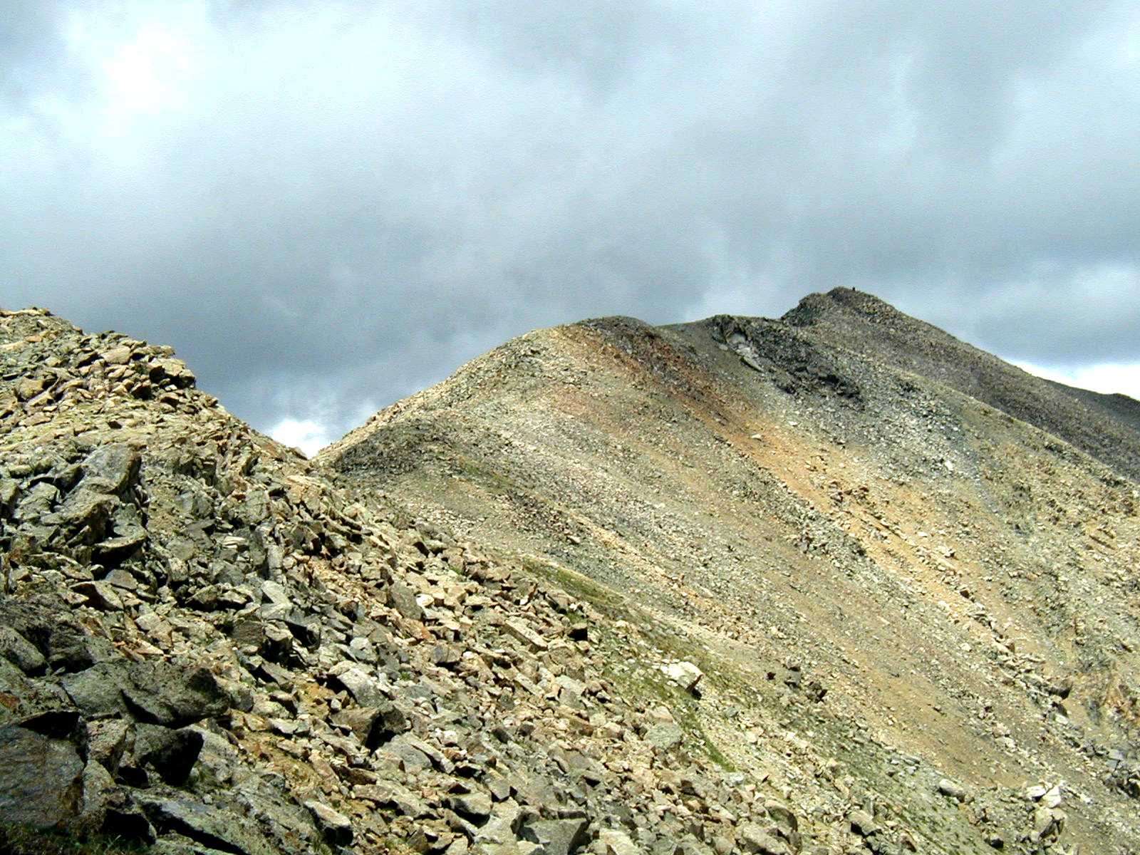
View of summit from south ridge:

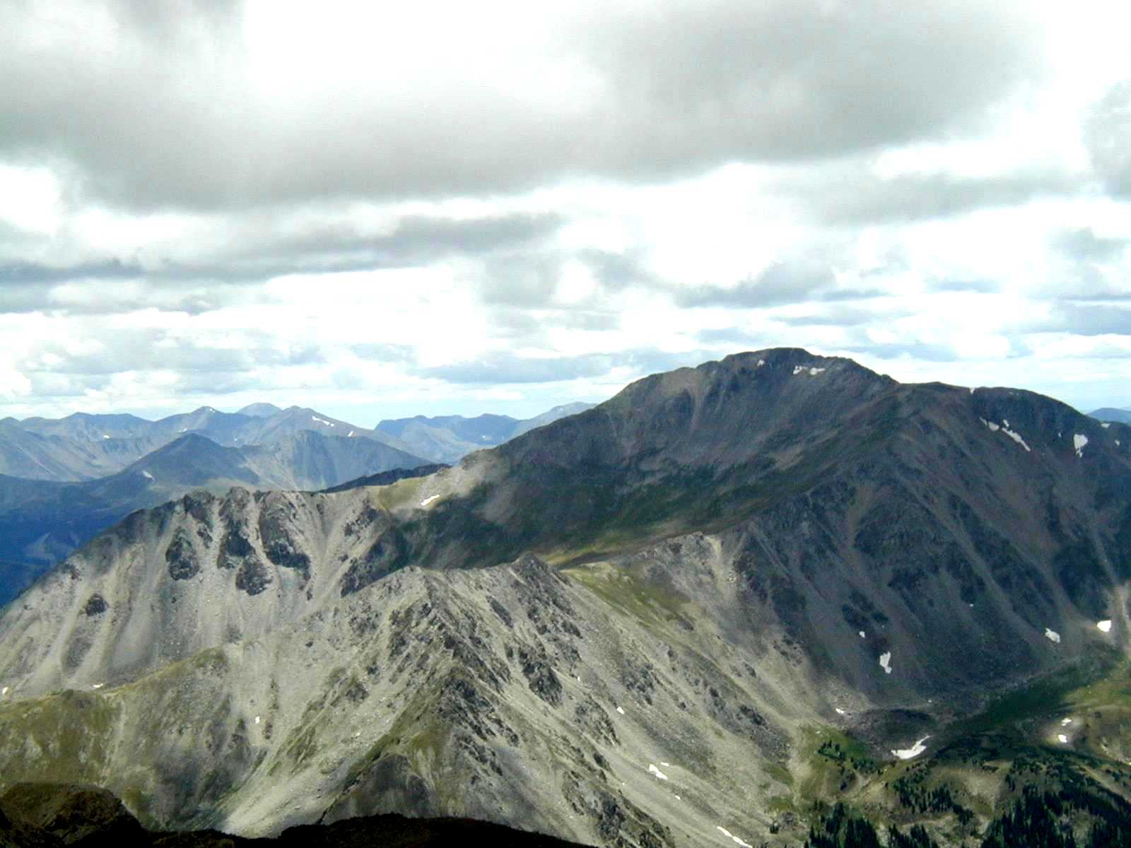
Mt. Yale from Mt. Columbia:

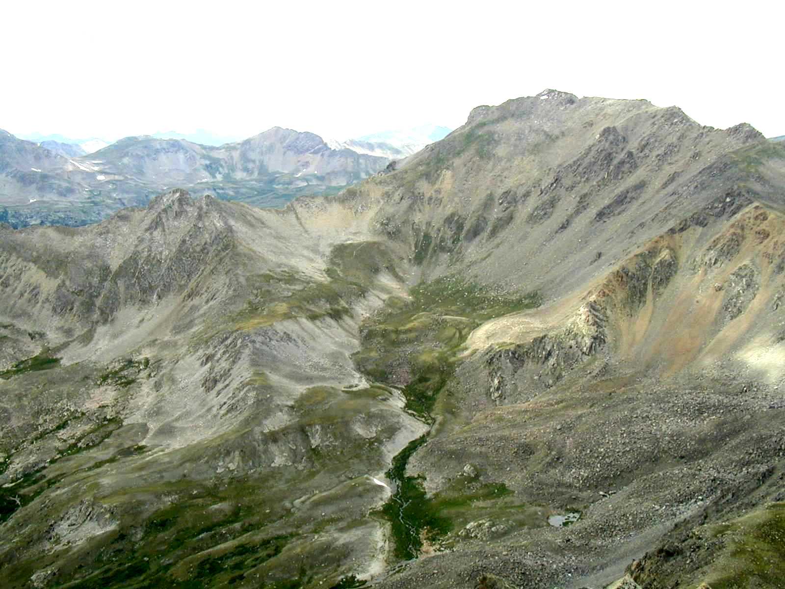
Mt. Harvard from Mt. Columbia:

This page hosted by ![]() Get your own Free Home Page
Get your own Free Home Page