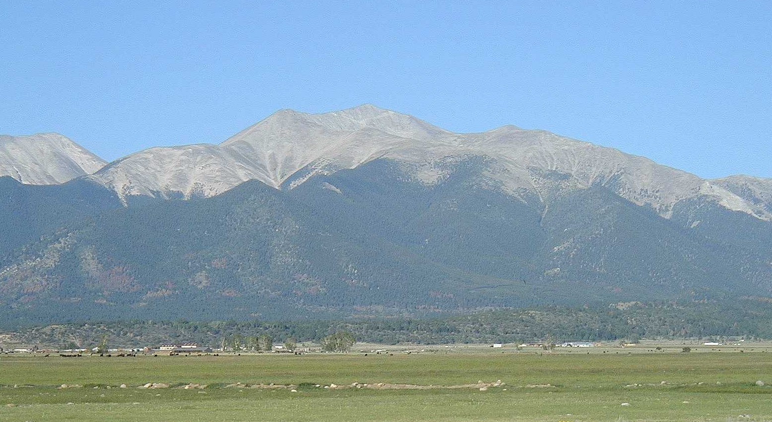
Mount Antero
Elevation 14,269 ft. / 4349 m

Mount Antero from the Arkansas Valley
Mount Antero is one of only three Colorado mountains named after the state's original inhabitants -- the others being Mt. Shavano and Tabeguache Mountain directly to the south. Although at 14,269 feet the mountain the is 10th highest of all Colorado peaks, Antero is probably the easiest Fourteener to climb in the Sawatch range. Why? Because of a jeep trail that begins at 9,400 feet at Chalk Creek and tops out near 13,500 feet, just south of the summit cone.
To get to the "trailhead," take US24 south out of Buena Vista and continue south on US285 to the Nathrop exit (Colorado 162). (Alternatively, head north from Salida and continue on US285 to the Nathrop exit.) Colo 162 leaves the Arkansas River and heads west up a small valley cut by Chalk Creek. Mt Antero will be on your left (south) as you head west; Mt. Princeton will be on your right. Four miles up the road you'll pass the Mt. Princeton Hot Springs -- which you'll be sure to want to visit after your hike!
Continuing on Colo162 you'll pass Mt. Princeton's Chalk Cliffs (actually made of quartz, not chalk), then continue on the road which eventually terminates at St. Elmo. After you've been on the road for about 12 1/2 miles, you'll see a turnoff on the right for the old mining town of Alpine, now populated with much newer homes. Just past the Alpine turnoff, a jeep road marked "Mt. Antero / Baldwin Gulch" exits left and uphill from the main road. There's a pullout on Colo162, and one on the right just after taking the jeep road that even a two-wheeler can make. If you don't have 4WD don't go any farther up the jeep trail than the immediate pullout parking, even though it may look passable at this point.
I'll try to finish the trail description some time in the near future. In the meantime, here are some photos that will give you an impression.

The jeep trail heading up Antero's west flank.

Antero's summit cone.

Mount Shavano from the summit of Mount Antero.

Summit!