| Guernsey, Channel
Islands, British Isles Guernsey is approximately 75 miles south of the English coast, and although nearer France than the UK, is a British Dependency. The island itself is about 25 square miles and has a population of 60,000. |
 |
| The Bailiwick of Guernsey covers all
islands in the Channel Isles, except Jersey (the "other island" which we don't
mention). We have our own government, called the "States of Deliberation". There
are no party politics in Guernsey, each elected politician fights their own corner. This
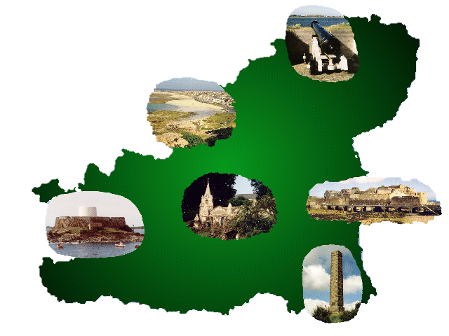
long-standing form of government is currently undergoing various controversial reviews. Guernsey is well known in the Finance Industry, with many major international banks based in and around St Peter Port. The Island has been shaken by UK Government audits in the last 2 years, but no major criticisms on procedures could be made. Indeed, the Island's constitutional rights have been aired so much recently, that the UK and EC have begun to realise that our tax status is not only a benefit to their economies, but is not something they can change anyway! Move your cursor over the map below to see some links to photos taken around the island. |
| St Peter Port Webcam - presented on the "Visit Guernsey" website |  |
Herm Island Guernsey.Net Homepage Local Museums Local News Sark Tourism
