 |
In June 2000, I joined the Earth Data Inc. Twin Otter in Chicago as a contract pilot replacing another contract pilot.
|
|
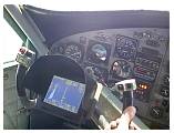 |
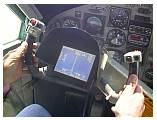
After a brief checkout I took over as Pilot in Command. We were LIDAR mapping and used the ASCOT precision GPS guidance system to fly very precise lines.
|
|
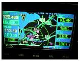 |
We also had a GNS 430 for IFR navigation.
|
|
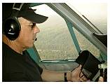 |
Roland was a company pilot with me to get some experience before heading off to Twin Otter Training.
|
|
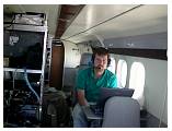 |
Larry was the certified surveyor and technical guy who ran the LIDAR and the mission.
|
|
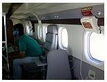 |
He had a young assistant who was also learning the system.
|
|
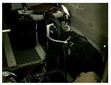 |
This is the LIDAR looking down through the special photographic port in the bottom of the airplane. A LIDAR uses laser light to precisely scan the ground and generate a precise topographic map.
|
|
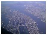 |
After Chicago we moved on to New York.
|
|
 |
We operated out of Essex Co Airport in NJ.
|
|
 |
4th of July brought lots of special visitors to NYC.
|
|
 |
Many beautiful sailing vessels as well as the USS JFK and other Navy ships (and Pres. Clinton).
|
|
 |
Statue of Liberty from the Jersey shore.
|
|


