 |
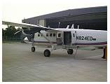
We LIDAR mapped DC. It was interesting flying since we needed to operate right up to the edges of Prohibited airspace over the Captial and White House.
|
|
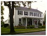 |
I enjoyed driving around the western MD, West VA countryside.
|
|
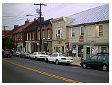 |
After living in CA for a long time, it was nice to see the different style of housing "back east."
|
|
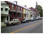 |
This is Sharpsburg MD, a bit south of Hagerstown.
|
|
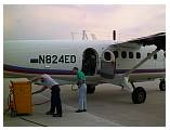 |
While at Hagerstown, they began installing an experimental Russian ground mapping radar.
|
|
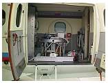 |
The Russian passive microwave radar scanner system was bulky and heavy.
|
|
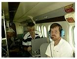 |
In flight testing out the Russian Radar. Larry and two of the Russian scientists.
|
|
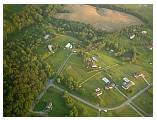 |
Maryland countryside. We operated between Hagerstown and DC.
|
|
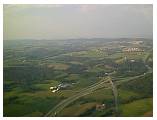 |
Near Harper's Ferry. After this we went to Dallas and mapped the Dallas/Ft Worth area, then to Houston and while there I turned over to another contract pilot from my company.
|
|
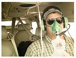 |
The boss had sent my relief out in his personal airplane and I used it to fly home. The brand new C206 had an O2 system that allowed me to go high over the mountains.
|
|
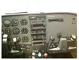 |
Using the GPS in the plane allowed me to go direct often, making the trip much quicker then following the VORs.
|
|
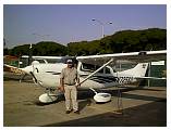 |
Back home at Oakland with the boss's plane.
|
|


