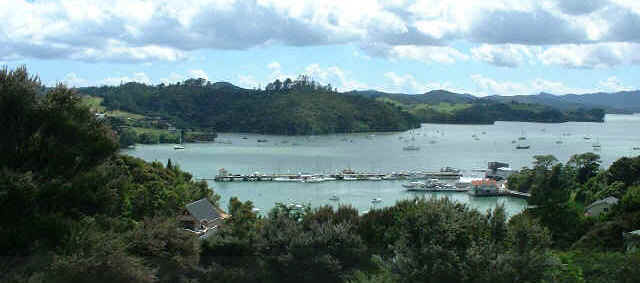
Opua anchorage in the Bay of Islands. Visible is the fishing wharf and ferry ramp. The boats are either anchored or moored. Most boats are locals however there are still many foreign boats left.
| An early morning photo of the little island behind our mooring, named Dumpling Island by a fellow cruiser, really looks like a plum pudding with trees on top. Its real name is Motutokape Island. (I don't know why they add "island" on the chart, motu means island.) Fishermen troll around it, and locals gather rock oysters along the shore at low tide. | 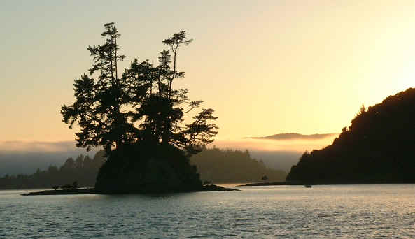 |

A view of the Bay of Islands from Flagstaff Hill in Russell. In the distance is the South Pacific Ocean, Nine Pin Island to the left and Cape Brett on the right.
|
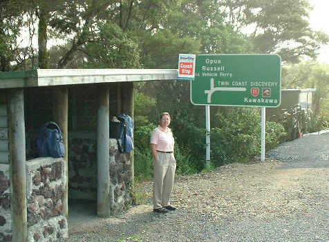
Paula at the bus stop waiting for the bus to Whangarei on a Friday morning. We bought a Mitsubishi Chariot that weekend |
|
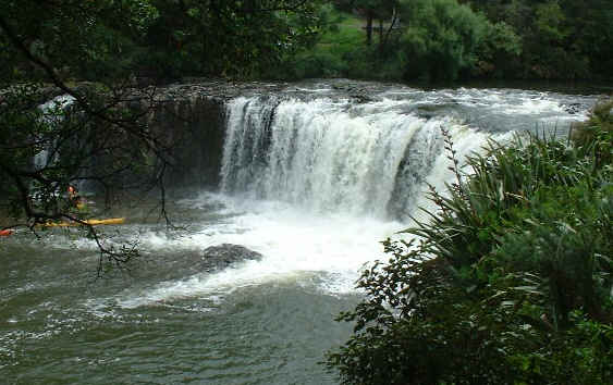
The Horuru falls at Waitangi Reserve. |
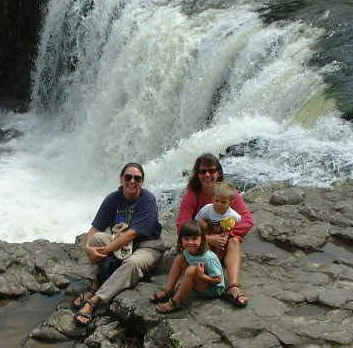 |
Paula at the Horuru Falls with Sue, Natalie and Trevor, the crew of Gray Hawk |
| Click here for Bay of Islands, or NZ Photo Index, or Northland Map, or NZ map | |
