 S/V
TETHYS
S/V
TETHYSTouring
New Zealand by Car
December 2000, February, March 2001
 S/V
TETHYS S/V
TETHYS |
Touring
New Zealand by Car |
| 58 South Island Photos: |
|
||||
|
||||||||||||||
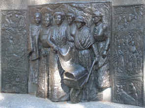 |
| Christchurch. Commemorative plaque to the memory of NZ sufferage movement. The wheelbarrow holds a scroll petition signed by 1500 women. The scroll is displayed in the National Archives in Wellington. |
 |
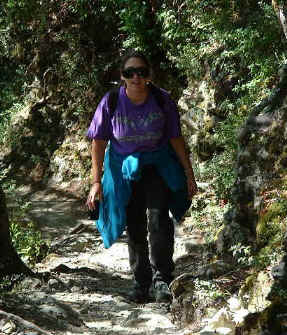 |
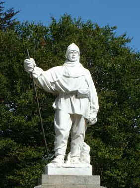
| Ross, the Antarctic explorer | Roberts, on a tramp |
 |
 |
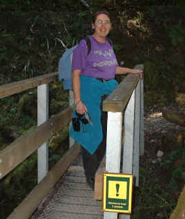 |
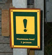
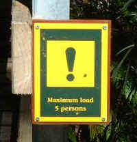
| Hiking trail bridge limits | Paula pausing on the 1 person bridge. | |
 |
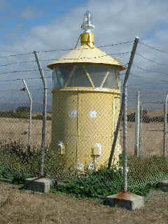 |
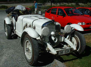
| Arthurs Pass, replica Mercedes touring South Island. | Kaikoura lighthouse |
 |
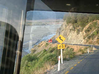 |
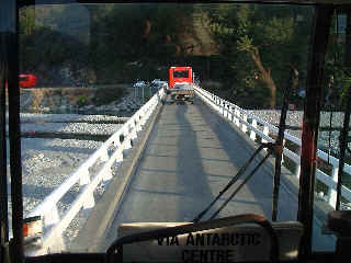
| Single lane bridge over the Waimakariki River. Picture taken through the front window of the bus that took us to Christchurch from Arthurs Pass. | A very narrow, winding road along the steep banks of the river. |
 |
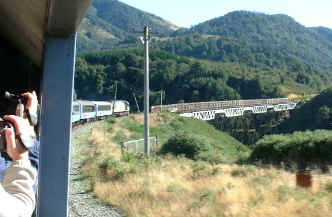 |
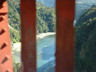
| Looking through the windbreak into the gorge below. | Approaching one of the viaducts on the way to Arthurs Pass. The windbreak lines the bridge to help prevent rail workers from being blown off in high wind gusts. |
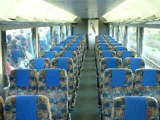 |
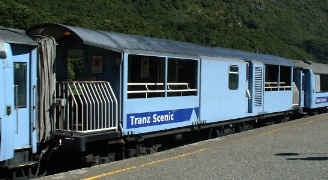 |
| Interior of the TransAlpine train | The observation car where Vlad spent most of his time in order to take pictures. |
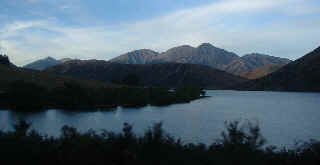 |
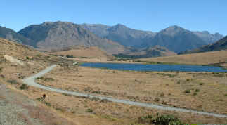 |
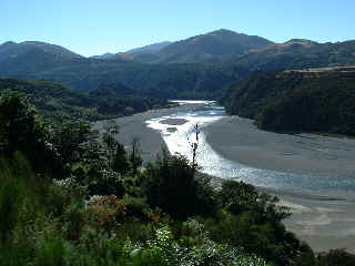
A lake on the east side of Arthurs Pass viewed from the highway on the way down to Christchurch |
One of the several trout lakes on along the railway heading up to Arthurs Pass. There are gravel roads used by fishermen and local sheep and cattle farmers. Drought conditions in this area. |
 |
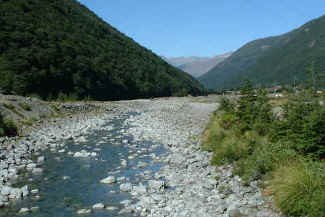 |
| The upper reaches of the Waimakariri River. The water level is very low in this wide stretch of river. The gravel beds are mined along most of these NZ rivers which is easy to do with low summer water levels. | |
 |
 |
 |
|
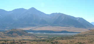
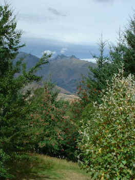
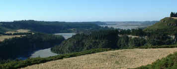
| Scenic views. | |
 |
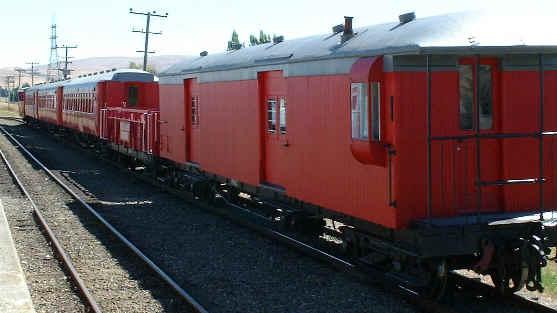 |
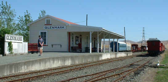
| Glenmark train station. A steam train operates here on weekends. Closed the day we passed by. | Some of the rolling stock at Glenmark. |
 |
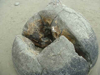 |
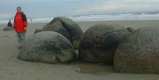
| Paula standing by a group of boulders. | One of the boulders cracked by the sea and sun. |
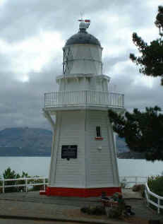 |
Typical lighthouse design along the east coast of South Island. This one stand in the inner harbour at Akaroa where it was relocated after decomissioning. |
|
A view of Akaroa Harbour from a hill top view point. |
 |
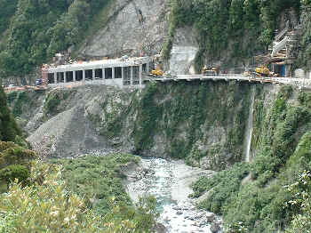 |
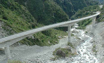
| Just weat of Arthurs Pass is this awsome gorge with a new highway viaduct going over it. Originally the road wound its way , zigzagging along the river. But after several destructive landslides this new viaduct was built straightening out the road and making it less prone to landslide damage. | Just a little further along is this impressive section undergoing an upgrade. The avalanche tunnel is almost complete. The cantilevered road can be seen hanging over the river. And scaffolding is still supporting an aquaduct to divert the stream. Traffic lights control this single lane section as it is being built. Once finished there will be two lanes all the way. |
 |
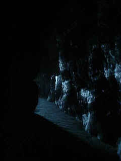 |
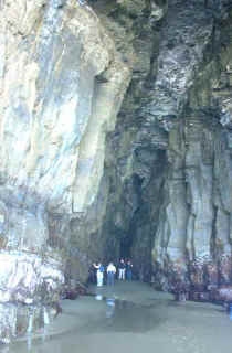
The awsome Cathedral Caves, 75 feet high at the entrance, carved out by the sea. The are not very deep, going into the cliff about 250 feet or so. The floor is sandy and gently slopes upwards toward the cave end. The caves are only accessible at low tide and there is a park ranger on duty at the parking lot to collect a fee (the track to the caves goes through private land) and make sure people only go during low water. There are two parallel caves connected inside. It takes a while for the eyes to get used to the diminishing light as one goes further inside. |
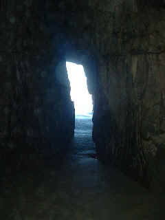
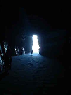
| Looking back to the opening from each of the caves. A silhoute of the person shows the vast scale. The caves are fairly dry. There is almost to water falling from the roof. The sand is wet and there is some seepage along the walls. At the entrance there are areas of red mould, some grass and seaweed. Otherwise the caves are solid rock. |
 |
 |
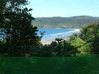 |
A path leads us down the cliff thru
some native bush and along a beach to the caves. It takes about 45 minute to walk from the
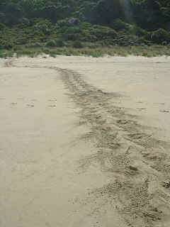
parking lot to the caves. Along the beach we spotted what we thought were sea turtle tracks in the sand, but these turned out to be fur seal tracks. |
 |
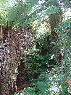
| Very Jurrasic Park walking thru these forests. The path winds its way through a forest of ancient fern trees. Lots of moss and lichens as well. These forests are layered with vegetation. | 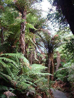 |
 |
|
|
| Catlins estuary views. | |
 |
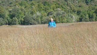 |
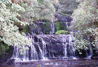
| Parakaunui Falls. | Walking thru the tall grass at the estuary. |
 |
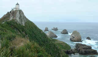 |
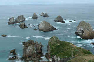
| The Nuggets. So called because the rocks look like gold nuggets. A path leads us along the ledge to the Lighthouse and an observation platform. We spotted another yellow eyed penguin from the cliffs. Also lots of shags, terns and a few mollymawks. | |
|
|
The petrified remnants of a forest along the Catlins coast. Above are stumps of trees clearly visible. In the photos below, a tree trunk has been uncovered by the wave action. |
|
|
|
In another corner of the petrified forrest beach, the waves pound against the rocky shore, somewhat tempered by the thick fronds of NZ kelp. There is a small yellow eyed penguin colony here as well, and we did see one come out of the sea and slowly make its way among the rocks to the shelter of low scrub away from the surf. |
|
 |
|
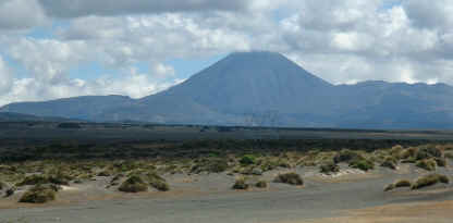
| Just a slight detour back to the middle of North Island, a view of Mount Ruapehu along the desert road. | |
|
Valley view from the top of Bendigo hill. We really should not have come up here without a 4 wheel drive. The road is very coarse, very twisty and steep. Our Chariot had difficulties getting up some of the grades in first gear. Wheels spinning, gravel flying, etc. But it was worth it! |
| More photos will be added when I get to it. | |
| Return to NZ Photo index | ||||||||
| Charts | Journals | Ocean Voyages | Cruising Tips | Photos | Tethys | Yours truly | Links | Home Page |