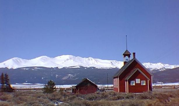

Mt. Massive is probably Colorado's most appropriately named mountain. It's huge! And, it's the 2nd highest mountain in the state, trailing only its neighbor to the south, Mt. Elbert, by 12 feet. The mountain has five points over 14,000 feet, dominating the skyline west of Leadville, where gold was first discovered in April of 1860 and silver - Leadville's primary precious metal - was discovered in 1874. The town was incorporated in 1878 and grew to be Colorado's second largest city in its boom years. Today, Leadville is the largest National Historic Landmark District in the state and is well worth visiting on your trip to or from Mt. Massive.
Mt. Massive is in the Sawatch Range - named by the Ute Indians, meaning "blue earth" - in which there are 15 peaks of 14,000 feet or more (not including other points over 14,000 ft. which are not considered true 14ers). The mountains of the Sawatch are composed of Precambrian gneiss and schists in the northern part of the range (including Massive) and a much younger, Tertiary intrusion that melted and pushed into the region in the southern part of the range (Mts. Princeton, Antero and Shavano). The present shapes of the Sawatch mountains were carved by ice age glaciers (note the U-shaped valleys as you ascend any of the Sawatch mountains - a dead giveaway for the effects of glaciation).
Our climb of Massive was on August 14, 1994, beginning at 7:05 am at Halfmoon Campground, located in the valley between Mt. Massive and Mt. Elbert. You can access either mountain from this campground, with trails of 7 miles (Massive) and 4 1/2 miles (Elbert). To get to the campground, take US 24 west out of Leadville, then take Colo 300 west for about a mile, then a dirt road leading west and south along Halfmoon Creek. There are signs announcing the campground.
About a mile from the campground, the Main Ridge Trail leads north onto Mt. Massive, starting at about 10,000 feet. After a steep beginning to about 10,600 ft in a half a mile, the trail "levels off" for about 2 1/2 miles while you travel across the broad east side of Mt. Massive through the forest. When you pass South Willow Creek, you'll know you're about three-fourths of the way to where the Mount Massive Trail begins.
At about 11,200 ft, you'll run into a fork in the trail, one path continuing north with the same gradual rise you're used to; the other heading uphill to the west. Take the west. This is the Mount Massive Trail (unmarked when we were there).
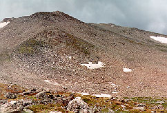
This path leads pretty well west (just a little north) until you break out above timberline. At this point, you'll see a 12,466 ft point ahead of you and a little to the left (southwest) - you'll be heading just to the north of that point in pretty much a straight line. The Arkansas Valley lies behind you to the east, and you have a good view now above the trees of from where you came.
 Once you've
passed the point, at about 12,400 ft, the trail turns to the southwest as it continues to
climb, now heading for the saddle between the summit of Mt. Massive on the north, and
South Massive (14,132 ft) on the south. It's about 1 1/2 to 2 miles from the point to the
saddle. Once you've reached the saddle (about 13,850 ft), a steeper trail takes you up
Massive's ridge to the summit. What a view!
 Though the
trail is never very steep (it rises 4,400 feet over seven miles), it is long. And you do
have to go down once you make it to the summit. Klaus says that this is the toughest 14er
we've done. The day we climbed it, we were shrouded in clouds until we got to about 13,000
ft. But then we had a beautiful view of Elbert emerging from the clouds once we hit the
saddle, and a glorious panorama at the summit. Ehtue's knees were killing him when we got
back down. Sometimes it seems easier going up than down!
This page hosted by ![]() Get your own Free Home Page
Get your own Free Home Page