Civil and
Environmental
Computer
Aided
Design
Free Surface Flow
General Information
Computational Services
Pre- & Post-processing
To analyze flow in rivers, estuaries and coastal area, geographical data are required. These data must be digitized and introduced to the software. In one
dimensional flow modeling, vertical sections of river or channel must be included in data file. Also for analyzing two dimensional flow and wave, bed topography in the form of horizontal mesh elements must be known. Map module of CECAD-FSF is linked to the software to help user for easy digitizing the computational domain.
CECAD-FSF MAP module provides the following services:
- Importing ground surface (geographical) data from GIS/CAD based software's.
- Creating digital base-map model.
- Generating horizontal grids.
- Generating vertical sections.
- Editing data file, using especial spreadsheet-based editors.
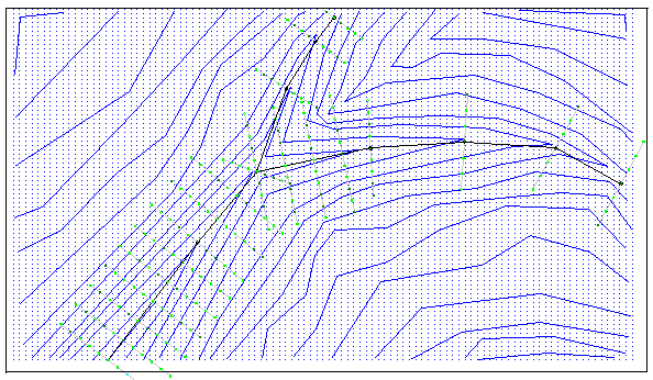
The following picture is an example of Horizontal Grid Generation service.

And the next picture is an example of Vertical Section Generation service.
